Estimated Value: $89,000 - $185,000
3
Beds
1
Bath
1,064
Sq Ft
$124/Sq Ft
Est. Value
About This Home
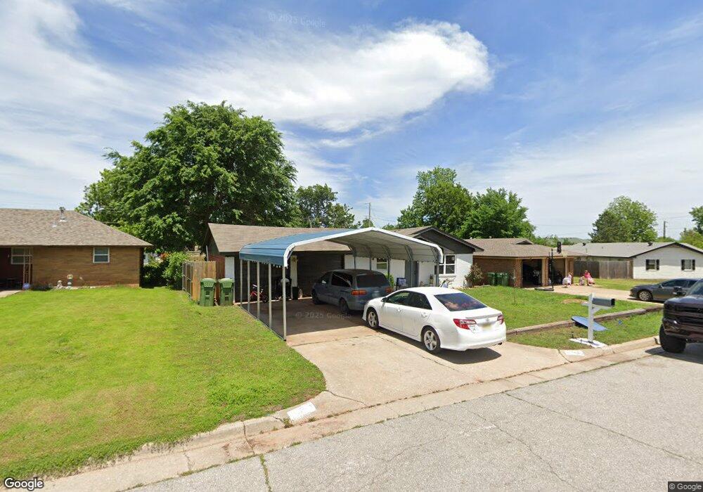
This home is located at 109 Larry Ave, Yukon, OK 73099 and is currently estimated at $132,454, approximately $124 per square foot. 109 Larry Ave is a home located in Canadian County with nearby schools including Parkland Elementary School, Independence Elementary School, and Yukon Middle School.
Ownership History
Date
Name
Owned For
Owner Type
Purchase Details
Closed on
Sep 27, 2024
Sold by
Harrison Landee Kaye and Harrison Richard Anthony
Bought by
Momentum Group Llc
Current Estimated Value
Home Financials for this Owner
Home Financials are based on the most recent Mortgage that was taken out on this home.
Original Mortgage
$123,300
Outstanding Balance
$10,581
Interest Rate
6.46%
Mortgage Type
Construction
Estimated Equity
$121,873
Purchase Details
Closed on
Oct 11, 2022
Sold by
Johnson Pamela K
Bought by
Harrison Landee Kaye and Harrison Richard Anthony
Purchase Details
Closed on
May 16, 2003
Sold by
Renyer Terence V
Bought by
Johnson Pamela K
Home Financials for this Owner
Home Financials are based on the most recent Mortgage that was taken out on this home.
Original Mortgage
$50,799
Interest Rate
5.77%
Purchase Details
Closed on
Mar 6, 1997
Sold by
Wilson Ricky Ray and Wilson Rhonda
Create a Home Valuation Report for This Property
The Home Valuation Report is an in-depth analysis detailing your home's value as well as a comparison with similar homes in the area
Home Values in the Area
Average Home Value in this Area
Purchase History
| Date | Buyer | Sale Price | Title Company |
|---|---|---|---|
| Momentum Group Llc | $90,000 | American Security Title | |
| Harrison Landee Kaye | -- | -- | |
| Johnson Pamela K | $63,500 | -- | |
| -- | $49,000 | -- |
Source: Public Records
Mortgage History
| Date | Status | Borrower | Loan Amount |
|---|---|---|---|
| Open | Momentum Group Llc | $123,300 | |
| Previous Owner | Johnson Pamela K | $50,799 |
Source: Public Records
Tax History Compared to Growth
Tax History
| Year | Tax Paid | Tax Assessment Tax Assessment Total Assessment is a certain percentage of the fair market value that is determined by local assessors to be the total taxable value of land and additions on the property. | Land | Improvement |
|---|---|---|---|---|
| 2024 | $1,206 | $11,693 | $1,980 | $9,713 |
| 2023 | $1,206 | $11,136 | $1,980 | $9,156 |
| 2022 | $1,154 | $10,606 | $1,980 | $8,626 |
| 2021 | $1,093 | $10,009 | $1,980 | $8,029 |
| 2020 | $1,028 | $9,533 | $1,980 | $7,553 |
| 2019 | $991 | $9,163 | $1,980 | $7,183 |
| 2018 | $947 | $8,727 | $1,980 | $6,747 |
| 2017 | $947 | $8,727 | $1,980 | $6,747 |
| 2016 | $926 | $8,528 | $1,980 | $6,548 |
| 2015 | -- | $8,185 | $1,980 | $6,205 |
| 2014 | -- | $8,185 | $1,980 | $6,205 |
Source: Public Records
Map
Nearby Homes
- 14512 Rochefort Ln
- 14524 Giverny Ln
- 14500 Giverny Ln
- 1805 Janeen St
- 114 Larry Ave
- 332 W Platt Dr
- 129 W Parkland Dr
- 205 W Parkland Dr
- 116 E Parkland Dr
- 0 Landon Ln
- 1421 Spring Creek Dr
- 1521 Spring Creek Dr
- 117 Asbill Ave
- 316 E Meade Dr
- 320 E Meade Dr
- 2504 Sequoia Park Dr
- 1308 Holly Ave
- 341 E Platt Dr
- 2404 Big Horn Canyon Rd
- 2012 Yellowstone Dr