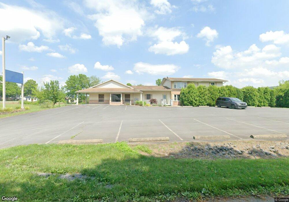
109 Leslie Dr Brodheadsville, PA 18322
Brodheadsville NeighborhoodEstimated Value: $664,834
4
Beds
2
Baths
1,100
Sq Ft
$604/Sq Ft
Est. Value
About This Home
This home is located at 109 Leslie Dr, Brodheadsville, PA 18322 and is currently estimated at $664,834, approximately $604 per square foot. 109 Leslie Dr is a home located in Monroe County with nearby schools including Pleasant Valley Elementary School, Pleasant Valley Intermediate School, and Pleasant Valley Middle School.
Ownership History
Date
Name
Owned For
Owner Type
Purchase Details
Closed on
Sep 27, 2021
Sold by
Tinsley Family Limited Partnerhsip
Bought by
Tjk Properties Llc
Current Estimated Value
Home Financials for this Owner
Home Financials are based on the most recent Mortgage that was taken out on this home.
Original Mortgage
$300,000
Interest Rate
2.8%
Mortgage Type
Purchase Money Mortgage
Purchase Details
Closed on
Jun 12, 2003
Bought by
Tinsley Family Lp
Create a Home Valuation Report for This Property
The Home Valuation Report is an in-depth analysis detailing your home's value as well as a comparison with similar homes in the area
Home Values in the Area
Average Home Value in this Area
Purchase History
| Date | Buyer | Sale Price | Title Company |
|---|---|---|---|
| Tjk Properties Llc | $500,000 | Pocono Property Abstract | |
| Tinsley Family Lp | $180,000 | -- |
Source: Public Records
Mortgage History
| Date | Status | Borrower | Loan Amount |
|---|---|---|---|
| Closed | Tjk Properties Llc | $300,000 |
Source: Public Records
Tax History Compared to Growth
Tax History
| Year | Tax Paid | Tax Assessment Tax Assessment Total Assessment is a certain percentage of the fair market value that is determined by local assessors to be the total taxable value of land and additions on the property. | Land | Improvement |
|---|---|---|---|---|
| 2025 | $2,778 | $348,340 | $30,030 | $318,310 |
| 2024 | $2,266 | $348,340 | $30,030 | $318,310 |
| 2023 | $10,549 | $348,340 | $30,030 | $318,310 |
| 2022 | $10,262 | $348,340 | $30,030 | $318,310 |
| 2021 | $9,781 | $348,340 | $30,030 | $318,310 |
| 2020 | $10,084 | $348,340 | $30,030 | $318,310 |
| 2019 | $10,444 | $58,590 | $5,270 | $53,320 |
| 2018 | $10,326 | $58,590 | $5,270 | $53,320 |
| 2017 | $10,208 | $58,590 | $5,270 | $53,320 |
| 2016 | $1,623 | $58,590 | $5,270 | $53,320 |
| 2015 | -- | $58,590 | $5,270 | $53,320 |
| 2014 | -- | $58,590 | $5,270 | $53,320 |
Source: Public Records
Map
Nearby Homes
- 219 W Scott Ct
- 1547 Weir Creek Dr
- 1762 United States Route 209
- 232 Rodenbach Ln
- 2382 Pennsylvania 115
- 0 Lr 45003 Unit PM-132004
- 648 Marion Ln
- 304 Shady Oaks Dr W
- 44 Regency Ln
- Lr 45003 Gilbert Rd
- 311 Switzgable Dr
- 219 Robins Ct
- 103 Silver Valley Rd
- 122 Leisure Ln
- 2116 James Way
- 423 Cottontail Ln
- 558 Effort Neola Rd
- 300 Silver Valley Rd
- 2311 Long Acre Dr
- 2299 Long Acre Dr
- 1 Leslie Dr
- 4 Leslie Dr
- 1536 Route 209
- 1105 Scott St
- 208 - Fron Kevin Ln
- 17 Scott Ct
- 208 Kevin (Front) Ln
- 15 Scott Ct
- 208 Kevin Ln
- 208 Kevin Ln Unit Front back
- 208 Kevin Ln Unit Front middle
- 208 Kevin Ln Unit Front right
- 208 Kevin Ln Unit Front
- 208 Kevin Ln
- 135 Leslie Dr
- 18 Scott Ct
- 217 W Scott Ct
- 1546 Route 209
- 1546 Route 209 Unit 103
- 1546 Route 209 Unit 1 bldg 3