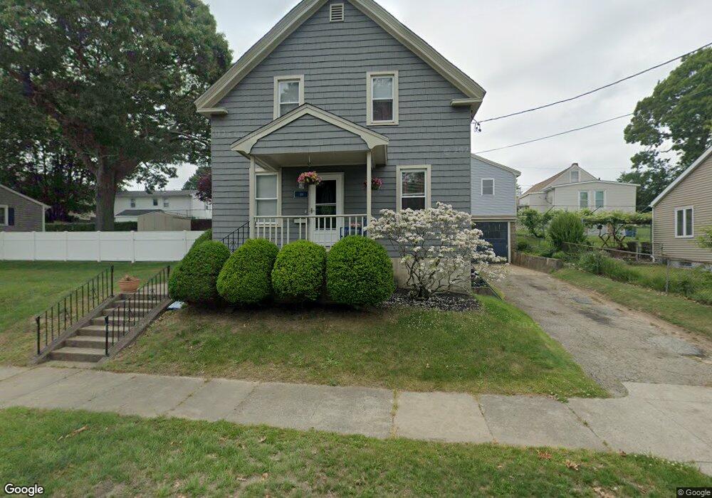
109 Lowell St New Bedford, MA 02745
Acushnet-Pine Hill NeighborhoodEstimated Value: $388,000 - $429,928
3
Beds
2
Baths
1,196
Sq Ft
$346/Sq Ft
Est. Value
About This Home
This home is located at 109 Lowell St, New Bedford, MA 02745 and is currently estimated at $413,732, approximately $345 per square foot. 109 Lowell St is a home located in Bristol County with nearby schools including Charles S. Ashley Elementary School, Normandin Middle School, and New Bedford High School.
Ownership History
Date
Name
Owned For
Owner Type
Purchase Details
Closed on
Feb 22, 1996
Sold by
Lowell St Rt
Bought by
Costa Edward and Costa Lorena
Current Estimated Value
Home Financials for this Owner
Home Financials are based on the most recent Mortgage that was taken out on this home.
Original Mortgage
$76,950
Interest Rate
7.04%
Mortgage Type
Purchase Money Mortgage
Create a Home Valuation Report for This Property
The Home Valuation Report is an in-depth analysis detailing your home's value as well as a comparison with similar homes in the area
Home Values in the Area
Average Home Value in this Area
Purchase History
| Date | Buyer | Sale Price | Title Company |
|---|---|---|---|
| Costa Edward | $81,000 | -- | |
| Costa Edward | $81,000 | -- |
Source: Public Records
Mortgage History
| Date | Status | Borrower | Loan Amount |
|---|---|---|---|
| Open | Costa Edward | $110,000 | |
| Closed | Costa Edward | $75,950 | |
| Closed | Costa Edward | $75,950 | |
| Closed | Costa Edward | $76,950 |
Source: Public Records
Tax History Compared to Growth
Tax History
| Year | Tax Paid | Tax Assessment Tax Assessment Total Assessment is a certain percentage of the fair market value that is determined by local assessors to be the total taxable value of land and additions on the property. | Land | Improvement |
|---|---|---|---|---|
| 2025 | $3,995 | $353,200 | $131,000 | $222,200 |
| 2024 | $3,898 | $324,800 | $131,000 | $193,800 |
| 2023 | $3,960 | $277,100 | $107,800 | $169,300 |
| 2022 | $3,498 | $232,400 | $100,100 | $132,300 |
| 2021 | $3,498 | $224,400 | $98,200 | $126,200 |
| 2020 | $3,508 | $217,100 | $98,200 | $118,900 |
| 2019 | $3,464 | $210,300 | $98,200 | $112,100 |
| 2018 | $3,306 | $198,800 | $98,200 | $100,600 |
| 2017 | $3,051 | $182,800 | $92,400 | $90,400 |
| 2016 | $2,863 | $173,600 | $88,600 | $85,000 |
| 2015 | $2,652 | $168,600 | $88,600 | $80,000 |
| 2014 | $2,520 | $166,200 | $88,600 | $77,600 |
Source: Public Records
Map
Nearby Homes
- 362 Prescott St
- 400 Oliver St
- 398 Brockton St
- 506 Hawes St
- 4 Tisbury St
- 683 Church St
- 6 Illinois St
- 11 Moynan St
- 187 Tarkiln Hill Rd
- 65 Armsby St
- 263 Hersom St
- 98 Seabury St
- 223 225 Prinston
- 208 Princeton St
- 162 Princeton St
- 0 Church Dutton & Chaffee Unit 73371719
- 9 Middlefield Place
- 15 Cox St
- 1164 Victoria St
- 0 Hammond St
- 108 Lawrence St
- 105 Lowell St
- 119 Lowell St
- 104 Lawrence St
- 116 Lawrence St
- 99 Lowell St
- 106 Lowell St
- 100 Lawrence St
- 129 Lowell St
- 92 Lawrence St Unit 94
- 449 Tarkiln Hill Rd
- 117 Lawrence St
- 861B Ashley Blvd
- 135 Lowell St
- 82 Lawrence St
- 861 Ashley Blvd
- 125 Lawrence St
- 93 Lawrence St
- 384 Hawes St Unit 386
- 370 Hawes St