109 Maple Ct Littleton, NC 27850
Estimated Value: $835,000 - $1,040,000
4
Beds
4
Baths
3,618
Sq Ft
$265/Sq Ft
Est. Value
About This Home
This home is located at 109 Maple Ct, Littleton, NC 27850 and is currently estimated at $958,944, approximately $265 per square foot. 109 Maple Ct is a home located in Warren County.
Ownership History
Date
Name
Owned For
Owner Type
Purchase Details
Closed on
Sep 23, 2024
Sold by
Ford Glenn T and Ford Cynthia T
Bought by
Ford Living Trust and Ford
Current Estimated Value
Purchase Details
Closed on
Jun 30, 2009
Sold by
Griffith Jesse R and Griffith Laura A
Bought by
Ford Glenn T and Ford Cynthia T
Home Financials for this Owner
Home Financials are based on the most recent Mortgage that was taken out on this home.
Original Mortgage
$350,000
Interest Rate
4.79%
Mortgage Type
New Conventional
Purchase Details
Closed on
Oct 3, 2006
Sold by
Compton Jack C and Compton Joan L
Bought by
Griffith Jessie R and Griffith Laura A
Home Financials for this Owner
Home Financials are based on the most recent Mortgage that was taken out on this home.
Original Mortgage
$60,900
Interest Rate
6.46%
Mortgage Type
Stand Alone Second
Create a Home Valuation Report for This Property
The Home Valuation Report is an in-depth analysis detailing your home's value as well as a comparison with similar homes in the area
Home Values in the Area
Average Home Value in this Area
Purchase History
| Date | Buyer | Sale Price | Title Company |
|---|---|---|---|
| Ford Living Trust | -- | None Listed On Document | |
| Ford Living Trust | -- | None Listed On Document | |
| Ford Glenn T | $558,000 | None Available | |
| Griffith Jessie R | $609,000 | None Available |
Source: Public Records
Mortgage History
| Date | Status | Borrower | Loan Amount |
|---|---|---|---|
| Previous Owner | Ford Glenn T | $350,000 | |
| Previous Owner | Griffith Jessie R | $60,900 |
Source: Public Records
Tax History Compared to Growth
Tax History
| Year | Tax Paid | Tax Assessment Tax Assessment Total Assessment is a certain percentage of the fair market value that is determined by local assessors to be the total taxable value of land and additions on the property. | Land | Improvement |
|---|---|---|---|---|
| 2024 | $4,810 | $543,052 | $300,000 | $243,052 |
| 2023 | $4,817 | $543,052 | $300,000 | $243,052 |
| 2022 | $4,633 | $543,052 | $0 | $0 |
| 2021 | $4,706 | $543,052 | $0 | $543,052 |
| 2020 | $4,706 | $543,052 | $300,000 | $243,052 |
| 2019 | $4,595 | $543,052 | $300,000 | $243,052 |
| 2018 | $4,434 | $543,052 | $300,000 | $243,052 |
| 2017 | $4,434 | $543,052 | $300,000 | $243,052 |
| 2016 | $4,151 | $545,393 | $350,000 | $195,393 |
| 2015 | -- | $545,393 | $0 | $0 |
| 2014 | -- | $545,393 | $0 | $0 |
| 2010 | -- | $545,393 | $350,000 | $195,393 |
Source: Public Records
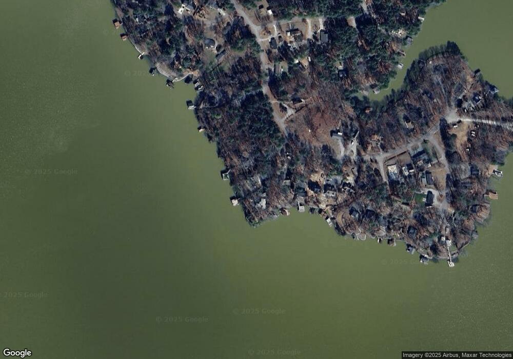
Map
Nearby Homes
- Lot 35 Hickory Ridge Trail
- 112 Peach Ct
- 0 N Oak Dr
- 40&41 Pine Ridge Trail
- Lot 73 Syd's Bluff
- 74 Syd's Bluff
- 157 Three Chopt Rd
- 243 Starboard Dr
- 135 Dogwood Ct
- Lot 3A Cool Springs Ct
- 263 E Summerwood Rd
- 492 Richmond Rd
- 501 Richmond Rd
- 5 Acres Lizard Creek Rd
- 220 Flower Orchard Rd
- 166 Northern Cove Dr
- 221 Old Ferry Rd
- 0 Old Ferry Rd
- 117 Fleming Meadows
- Lots Spring Wood Ct