109 Maplewood Ln Advance, NC 27006
Estimated Value: $658,000 - $3,505,990
3
Beds
4
Baths
4,612
Sq Ft
$451/Sq Ft
Est. Value
About This Home
This home is located at 109 Maplewood Ln, Advance, NC 27006 and is currently estimated at $2,081,995, approximately $451 per square foot. 109 Maplewood Ln is a home with nearby schools including Pinebrook Elementary School, North Davie Middle School, and Davie County High School.
Ownership History
Date
Name
Owned For
Owner Type
Purchase Details
Closed on
Dec 6, 2007
Sold by
Honbarrier Ann M
Bought by
Budd Richard P and Budd Sylvia S
Current Estimated Value
Purchase Details
Closed on
Aug 1, 2007
Sold by
Budd Richard P and Budd Sylvia S
Bought by
Budd Farm Llc
Purchase Details
Closed on
Jul 1, 2004
Purchase Details
Closed on
Dec 1, 2001
Purchase Details
Closed on
Mar 1, 1993
Create a Home Valuation Report for This Property
The Home Valuation Report is an in-depth analysis detailing your home's value as well as a comparison with similar homes in the area
Home Values in the Area
Average Home Value in this Area
Purchase History
| Date | Buyer | Sale Price | Title Company |
|---|---|---|---|
| Budd Richard P | -- | None Available | |
| Budd Farm Llc | -- | None Available | |
| -- | $2,392,000 | -- | |
| -- | -- | -- | |
| -- | -- | -- |
Source: Public Records
Tax History Compared to Growth
Tax History
| Year | Tax Paid | Tax Assessment Tax Assessment Total Assessment is a certain percentage of the fair market value that is determined by local assessors to be the total taxable value of land and additions on the property. | Land | Improvement |
|---|---|---|---|---|
| 2025 | $10,109 | $1,468,100 | $0 | $0 |
| 2024 | $9,413 | $1,217,660 | $0 | $0 |
| 2023 | $9,413 | $1,217,660 | $0 | $0 |
| 2022 | $6,467 | $836,600 | $0 | $0 |
| 2021 | $6,467 | $836,600 | $0 | $0 |
| 2020 | $6,651 | $854,840 | $0 | $0 |
| 2019 | $5,990 | $769,980 | $0 | $0 |
| 2018 | $5,990 | $769,980 | $0 | $0 |
| 2017 | $4,782 | $769,980 | $0 | $0 |
| 2016 | $4,926 | $641,380 | $0 | $0 |
| 2015 | $4,926 | $641,380 | $0 | $0 |
| 2014 | $4,233 | $641,380 | $0 | $0 |
| 2013 | -- | $641,380 | $0 | $0 |
Source: Public Records
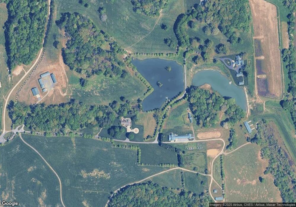
Map
Nearby Homes
- 2350 Williams Rd
- 8350 Holler Farm Rd
- 4029 Estate Dr
- Roller Mill II Plan at Adams Estates
- Roller Mill Plan at Adams Estates
- Oak Crest Plan at Adams Estates
- Heritage Bridge Plan at Adams Estates
- Birch Haven Courtyard Plan at Adams Estates
- 4011 Estate Dr
- 1762 Canopy Trail
- 1839 Songbird Ln
- 1953 Woodstock Rd
- 2458 Lansford Ct
- 1099 Cresthaven Rd
- 0 Hauser Rd
- 9105 Concord Church Rd
- 1208 Pebble Meadows Dr
- 8820 Kings Tree Rd
- 1492 Williams Rd Unit 1
- 1492 Williams Rd
- 201 Maplewood Ln
- 279 Serenity Hills Trail
- 145 River Ridge Trail
- 287 Sandpit Rd
- 353 Serenity Hills Trail
- 349 Serenity Hills Trail
- 119 River Ridge Trail
- 321 Maplewood Ln
- 187 Serenity Hills Trail
- 164 Serenity Hills Trail
- 253 Sandpit Rd
- 545 Sandpit Rd
- 171 Serenity Hills Trail
- 233 Sandpit Rd
- 131 Serenity Hills Trail
- 211 Sandpit Rd
- 187 Sandpit Rd
- 495 Griffith Rd
- 173 Sandpit Rd
- 349 Griffith Rd