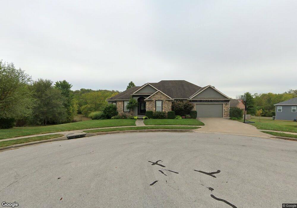
109 Marsh St Knob Noster, MO 65336
Estimated Value: $389,000 - $499,000
6
Beds
3
Baths
3,930
Sq Ft
$112/Sq Ft
Est. Value
About This Home
This home is located at 109 Marsh St, Knob Noster, MO 65336 and is currently estimated at $438,877, approximately $111 per square foot. 109 Marsh St is a home located in Johnson County with nearby schools including Knob Noster High School.
Ownership History
Date
Name
Owned For
Owner Type
Purchase Details
Closed on
Jul 31, 2025
Sold by
Wheeler Jerrod H and Wheeler Amie N
Bought by
Summers Justin and Saferite Cheyenne
Current Estimated Value
Purchase Details
Closed on
May 16, 2017
Sold by
Machado Robert J and Machado Maria
Bought by
Wheeler Jerrod H and Wheeler Amie N
Home Financials for this Owner
Home Financials are based on the most recent Mortgage that was taken out on this home.
Original Mortgage
$249,999
Interest Rate
4.1%
Mortgage Type
New Conventional
Purchase Details
Closed on
Sep 14, 2009
Sold by
Set Development Llc
Bought by
Machado Robert J and Machado Maria
Home Financials for this Owner
Home Financials are based on the most recent Mortgage that was taken out on this home.
Original Mortgage
$258,439
Interest Rate
5.36%
Mortgage Type
VA
Create a Home Valuation Report for This Property
The Home Valuation Report is an in-depth analysis detailing your home's value as well as a comparison with similar homes in the area
Home Values in the Area
Average Home Value in this Area
Purchase History
| Date | Buyer | Sale Price | Title Company |
|---|---|---|---|
| Summers Justin | -- | Truman Title | |
| Summers Justin | -- | Truman Title | |
| Wheeler Jerrod H | -- | Western Missouri Title Co | |
| Machado Robert J | -- | -- |
Source: Public Records
Mortgage History
| Date | Status | Borrower | Loan Amount |
|---|---|---|---|
| Previous Owner | Wheeler Jerrod H | $249,999 | |
| Previous Owner | Machado Robert J | $258,439 |
Source: Public Records
Tax History
| Year | Tax Paid | Tax Assessment Tax Assessment Total Assessment is a certain percentage of the fair market value that is determined by local assessors to be the total taxable value of land and additions on the property. | Land | Improvement |
|---|---|---|---|---|
| 2025 | $3,580 | $57,806 | $0 | $0 |
| 2024 | $3,580 | $53,099 | $0 | $0 |
| 2023 | $3,169 | $53,099 | $0 | $0 |
| 2022 | $3,038 | $50,935 | $0 | $0 |
| 2021 | $3,138 | $50,935 | $0 | $0 |
| 2020 | $3,023 | $48,764 | $0 | $0 |
| 2019 | $2,944 | $48,764 | $0 | $0 |
| 2017 | $2,803 | $48,764 | $0 | $0 |
| 2016 | $2,809 | $48,764 | $0 | $0 |
| 2015 | $2,836 | $48,764 | $0 | $0 |
| 2014 | -- | $48,764 | $0 | $0 |
Source: Public Records
Map
Nearby Homes
- 1105 Charles St
- 1107 Charles St
- 210 W 7th St
- 581 Highway 50
- 1057 NE 75
- 609,611,613 W Bridge St
- 107 S Jefferson Ave
- 610 Elm St
- 606 Kendrick St
- 1405 W 7th Street Terrace
- 1403 W 6th Street Terrace
- 1407 W 6th Street Terrace
- 626 Jill Ann Dr
- 611 Summit Rd
- 611 Short St
- 1017 NE 250
- 102 Division St
- 110 Newberry Ct
- 133 NE 1271
- 0 NE 400th Rd
Your Personal Tour Guide
Ask me questions while you tour the home.