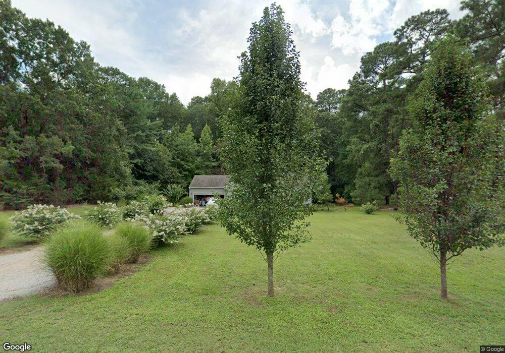
109 Munford Dr Unit 20 Louisburg, NC 27549
Estimated Value: $231,000 - $288,113
3
Beds
2
Baths
1,260
Sq Ft
$208/Sq Ft
Est. Value
About This Home
This home is located at 109 Munford Dr Unit 20, Louisburg, NC 27549 and is currently estimated at $262,528, approximately $208 per square foot. 109 Munford Dr Unit 20 is a home located in Franklin County with nearby schools including Louisburg Elementary School, Terrell Lane Middle School, and Louisburg High School.
Ownership History
Date
Name
Owned For
Owner Type
Purchase Details
Closed on
Mar 12, 2020
Sold by
Naper Thomas
Bought by
Cash James Bryan
Current Estimated Value
Purchase Details
Closed on
Aug 25, 2008
Sold by
Barker Gordon T and Barker Cheryl L
Bought by
Naper Thomas
Purchase Details
Closed on
Aug 26, 1997
Bought by
Barker Gordon T and Barker Cheryl L
Create a Home Valuation Report for This Property
The Home Valuation Report is an in-depth analysis detailing your home's value as well as a comparison with similar homes in the area
Home Values in the Area
Average Home Value in this Area
Purchase History
| Date | Buyer | Sale Price | Title Company |
|---|---|---|---|
| Cash James Bryan | $150,000 | None Available | |
| Naper Thomas | $30,000 | None Available | |
| Barker Gordon T | $15,000 | -- |
Source: Public Records
Tax History Compared to Growth
Tax History
| Year | Tax Paid | Tax Assessment Tax Assessment Total Assessment is a certain percentage of the fair market value that is determined by local assessors to be the total taxable value of land and additions on the property. | Land | Improvement |
|---|---|---|---|---|
| 2025 | $1,509 | $232,200 | $60,760 | $171,440 |
| 2024 | $1,509 | $232,200 | $60,760 | $171,440 |
| 2023 | $1,320 | $137,090 | $28,780 | $108,310 |
| 2022 | $1,310 | $137,090 | $28,780 | $108,310 |
| 2021 | $1,224 | $137,090 | $28,780 | $108,310 |
| 2020 | $1,317 | $137,090 | $28,780 | $108,310 |
| 2019 | $613 | $137,090 | $28,780 | $108,310 |
| 2018 | $614 | $137,090 | $28,780 | $108,310 |
| 2017 | $1,332 | $128,070 | $26,160 | $101,910 |
| 2016 | $265 | $26,160 | $26,160 | $0 |
| 2015 | $264 | $26,160 | $26,160 | $0 |
| 2014 | $250 | $26,160 | $26,160 | $0 |
Source: Public Records
Map
Nearby Homes
- 101 Briarwood Ct
- 126 Person St
- 0-0 Halifax Rd
- 615 Woodland Trail
- 612 N Main St
- 7.69 Acres N Carolina 561
- 23.20 Acre N Carolina 561
- 10.26 Acre N Carolina 561
- 604 N Main St
- 125 Davis St
- 301 W College St
- 109 Drew St
- 313 W Noble St
- 414 W Noble St
- 321 W Noble St
- 401 N Main St
- 305 N Elm St
- 205 Williamson St
- 101 S Elm St
- 105 S Elm St