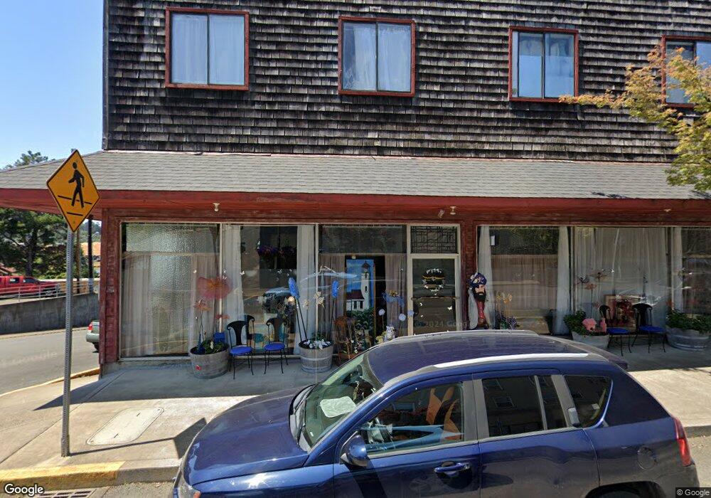
109 N Main St Toledo, OR 97391
Estimated Value: $478,479
8
Beds
8
Baths
7,000
Sq Ft
$68/Sq Ft
Est. Value
About This Home
This home is located at 109 N Main St, Toledo, OR 97391 and is currently estimated at $478,479, approximately $68 per square foot. 109 N Main St is a home located in Lincoln County with nearby schools including Toledo Elementary School, Toledo Junior/Senior High School, and Abundant Life Academy.
Ownership History
Date
Name
Owned For
Owner Type
Purchase Details
Closed on
Jul 16, 2010
Sold by
Bruster James R and Bruster Sandra L
Bought by
Bruster James Ralph and James R Bruster 2004 Revocable Trust
Current Estimated Value
Purchase Details
Closed on
Oct 15, 2009
Sold by
Kirkland Diana
Bought by
Bruster James R and Bruster Sandra L
Home Financials for this Owner
Home Financials are based on the most recent Mortgage that was taken out on this home.
Original Mortgage
$110,000
Interest Rate
5.02%
Mortgage Type
Commercial
Create a Home Valuation Report for This Property
The Home Valuation Report is an in-depth analysis detailing your home's value as well as a comparison with similar homes in the area
Home Values in the Area
Average Home Value in this Area
Purchase History
| Date | Buyer | Sale Price | Title Company |
|---|---|---|---|
| Bruster James Ralph | -- | None Available | |
| Bruster James R | $200,000 | Western Title & Escrow |
Source: Public Records
Mortgage History
| Date | Status | Borrower | Loan Amount |
|---|---|---|---|
| Closed | Bruster James R | $110,000 |
Source: Public Records
Tax History Compared to Growth
Tax History
| Year | Tax Paid | Tax Assessment Tax Assessment Total Assessment is a certain percentage of the fair market value that is determined by local assessors to be the total taxable value of land and additions on the property. | Land | Improvement |
|---|---|---|---|---|
| 2024 | $2,913 | $187,350 | -- | -- |
| 2023 | $2,889 | $181,900 | $0 | $0 |
| 2022 | $2,802 | $176,610 | $0 | $0 |
| 2021 | $2,731 | $171,470 | $0 | $0 |
| 2020 | $2,673 | $166,480 | $0 | $0 |
| 2019 | $2,378 | $149,360 | $0 | $0 |
| 2018 | $2,330 | $145,010 | $0 | $0 |
| 2017 | $2,260 | $140,790 | $0 | $0 |
| 2016 | $2,092 | $136,690 | $0 | $0 |
| 2015 | $2,043 | $132,710 | $0 | $0 |
| 2014 | $1,982 | $128,850 | $0 | $0 |
| 2013 | -- | $125,100 | $0 | $0 |
Source: Public Records
Map
Nearby Homes
- 193 E Graham St
- 254 NE 3rd St
- 380 E Graham St
- 177 NW 6th St Unit 5 Units
- 135 NW 6th St
- 163 NE 6th St
- 231 NE 6th St
- 112 NE 6th St
- 492 SE 3rd St
- 146 NE 6th St
- 120 NW 6th St
- 749 SE 2nd St
- 150 NW 5th St
- 1060 NW Sunset Dr
- 646 SE 8th St
- 935 NE Highway 20
- 662 NE 8th Place
- 1262 NW Meadow Ln
- 763 SE 7th St
- 211 NE 12th St
- 147 N Main St
- 155 N Main St
- 163 N Main St
- 160 N Main St Unit A
- 160 N Main St
- 139 S Main St Unit 3
- 139 S Main St
- 170 N Main St
- 144 E Graham St
- 181 S Main St
- 199 S Main St
- 215 Main St S
- 145 NE 1st St
- 235 N Main St
- 192 S Main St
- 132 SE 1st St
- 138 NW 1st St
- 167 NE 1st St
- TL9500 NW 2nd St
- T/L9500 NW 2nd St Unit T/L9500+