109 Nunnally Rd SE Winder, GA 30680
Estimated Value: $546,512 - $860,000
3
Beds
3
Baths
2,716
Sq Ft
$245/Sq Ft
Est. Value
About This Home
This home is located at 109 Nunnally Rd SE, Winder, GA 30680 and is currently estimated at $666,628, approximately $245 per square foot. 109 Nunnally Rd SE is a home located in Barrow County with nearby schools including Statham Elementary School, Bear Creek Middle School, and Winder-Barrow High School.
Ownership History
Date
Name
Owned For
Owner Type
Purchase Details
Closed on
Aug 16, 2022
Sold by
Skinner Carl E
Bought by
Skinner Carl E and Skinner Helen L
Current Estimated Value
Purchase Details
Closed on
Oct 24, 2012
Sold by
Fortson Kelly R
Bought by
Skinner Carl E and Skinner Helen L
Home Financials for this Owner
Home Financials are based on the most recent Mortgage that was taken out on this home.
Original Mortgage
$192,000
Interest Rate
3.42%
Mortgage Type
New Conventional
Purchase Details
Closed on
Nov 23, 2009
Sold by
Fortson John Phillip
Bought by
Fortson Kelly R
Create a Home Valuation Report for This Property
The Home Valuation Report is an in-depth analysis detailing your home's value as well as a comparison with similar homes in the area
Home Values in the Area
Average Home Value in this Area
Purchase History
| Date | Buyer | Sale Price | Title Company |
|---|---|---|---|
| Skinner Carl E | -- | -- | |
| Skinner Carl E | $240,000 | -- | |
| Fortson Kelly R | -- | -- |
Source: Public Records
Mortgage History
| Date | Status | Borrower | Loan Amount |
|---|---|---|---|
| Previous Owner | Skinner Carl E | $192,000 |
Source: Public Records
Tax History Compared to Growth
Tax History
| Year | Tax Paid | Tax Assessment Tax Assessment Total Assessment is a certain percentage of the fair market value that is determined by local assessors to be the total taxable value of land and additions on the property. | Land | Improvement |
|---|---|---|---|---|
| 2024 | $3,140 | $183,608 | $37,874 | $145,734 |
| 2023 | $2,058 | $183,608 | $37,874 | $145,734 |
| 2022 | $2,251 | $134,792 | $37,874 | $96,918 |
| 2021 | $1,835 | $115,537 | $26,662 | $88,875 |
| 2020 | $1,491 | $104,160 | $23,328 | $80,832 |
| 2019 | $1,541 | $104,160 | $23,328 | $80,832 |
| 2018 | $1,505 | $104,160 | $23,328 | $80,832 |
| 2017 | $2,678 | $91,981 | $23,328 | $68,653 |
| 2016 | $1,021 | $88,568 | $23,328 | $65,240 |
| 2015 | $2,160 | $89,305 | $23,328 | $65,977 |
| 2014 | $963 | $85,765 | $19,051 | $66,714 |
| 2013 | -- | $81,530 | $19,051 | $62,479 |
Source: Public Records
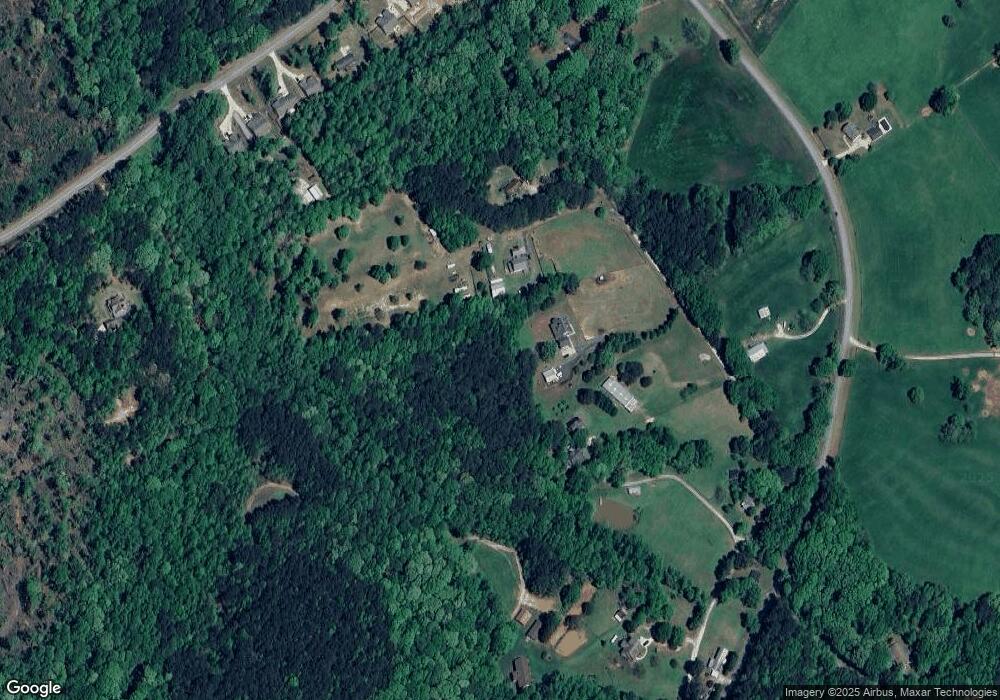
Map
Nearby Homes
- 29 Nunnally Rd SE
- 1593 Highway 82
- 315 Paige Way
- 532 Hemlock Dr
- 2141 Kirkland Dr
- 1610 Trey Ln
- 410 Tori Dr
- 2075 Georgia Highway 211
- 2075 Highway 211 NE
- 197 Pleasant Hill Church Rd SE
- 364 Pleasant Hill Church Rd
- 1200 Breckinridge Trail
- 162 Ashton Ln
- 364 Pleasant Hill Church Rd SE
- 1642 White Oak Dr
- 1423 Red Oak Way
- 330 Anchors Way
- The Baxley Plan at Statham Place
- The Landon II Plan at Statham Place
- 130 (Tract 1) Bowman Mill Rd NE
- 0 Nunnally Dr Unit 3200433
- 0 Nunnally Dr
- 105 Nunnally Dr
- 113 Nunnally Dr
- 119 Nunnally Dr
- 101 Nunnally Dr
- 75 Nunnally Rd SE
- 129 Nunnally Dr
- 21 Nunnally Dr
- 29 Nunnally Rd SE
- 1487 Ga-82
- 1487 Highway 82
- 1471 Highway 82
- 1471 Highway 82 Unit Lot 4
- 1471 Highway 82
- 117 Nunnally Rd SE
- 1469 Georgia 82
- 1469 Highway 82
- 1469 Highway 82 Unit Lot 3
- 109 Nunnally Dr