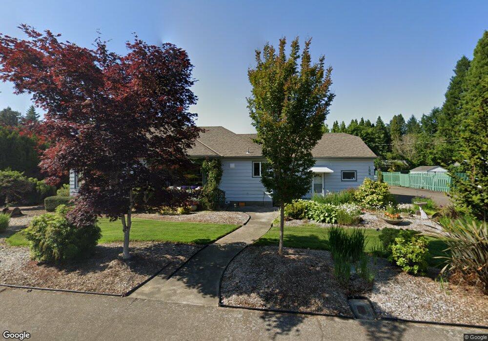
109 NW Baker Creek Rd McMinnville, OR 97128
Estimated Value: $517,343 - $566,000
3
Beds
2
Baths
2,341
Sq Ft
$234/Sq Ft
Est. Value
About This Home
This home is located at 109 NW Baker Creek Rd, McMinnville, OR 97128 and is currently estimated at $547,086, approximately $233 per square foot. 109 NW Baker Creek Rd is a home located in Yamhill County with nearby schools including Memorial Elementary School, Patton Middle School, and McMinnville High School.
Ownership History
Date
Name
Owned For
Owner Type
Purchase Details
Closed on
Nov 2, 2012
Sold by
Carter Roy J
Bought by
Whitehorn Randall L and Whitehorn Connie R
Current Estimated Value
Home Financials for this Owner
Home Financials are based on the most recent Mortgage that was taken out on this home.
Original Mortgage
$148,000
Outstanding Balance
$102,464
Interest Rate
3.43%
Mortgage Type
New Conventional
Estimated Equity
$444,622
Purchase Details
Closed on
Aug 21, 2009
Sold by
Sei Private Trust Company
Bought by
Carter Eva
Create a Home Valuation Report for This Property
The Home Valuation Report is an in-depth analysis detailing your home's value as well as a comparison with similar homes in the area
Home Values in the Area
Average Home Value in this Area
Purchase History
| Date | Buyer | Sale Price | Title Company |
|---|---|---|---|
| Whitehorn Randall L | $185,000 | Wester Title Company | |
| Carter Eva | $147,747 | None Available |
Source: Public Records
Mortgage History
| Date | Status | Borrower | Loan Amount |
|---|---|---|---|
| Open | Whitehorn Randall L | $148,000 |
Source: Public Records
Tax History Compared to Growth
Tax History
| Year | Tax Paid | Tax Assessment Tax Assessment Total Assessment is a certain percentage of the fair market value that is determined by local assessors to be the total taxable value of land and additions on the property. | Land | Improvement |
|---|---|---|---|---|
| 2024 | $4,010 | $261,378 | -- | -- |
| 2023 | $3,786 | $253,765 | $0 | $0 |
| 2022 | $3,573 | $246,374 | $0 | $0 |
| 2021 | $3,502 | $239,198 | $0 | $0 |
| 2020 | $3,474 | $232,231 | $0 | $0 |
| 2019 | $3,380 | $225,467 | $0 | $0 |
| 2018 | $3,313 | $218,900 | $0 | $0 |
| 2017 | $3,622 | $212,524 | $0 | $0 |
| 2016 | $3,493 | $206,334 | $0 | $0 |
| 2015 | $3,408 | $200,326 | $0 | $0 |
| 2014 | $3,213 | $194,493 | $0 | $0 |
Source: Public Records
Map
Nearby Homes
- 149 NW 25th St
- 2221 NW Elm St
- 1786 NW Landon St
- 1850 NW Landon St
- 2286 NW Michelbook Ln
- 1975 NE Galloway St
- 629 NE 19th St
- 700 NW 18th Place
- 1672 NW Landon St
- 2420 NE Hembree St Unit 48
- 1970 NW Mercia St
- 914 NE 26th St
- 2735 NW Pinehurst Dr Unit 5
- 3192 NW Pinehurst Dr Unit 76
- 1564 NW Pinehurst Dr Unit 106
- 2799 NW Pinehurst Dr Unit 11
- 2787 NW Pinehurst Dr Unit 10
- 2897 NW Pinehurst Dr Unit 13
- 2719 NW Pinehurst Dr Unit 3
- 2743 NW Pinehurst Dr Unit 6
- 115 NW Baker Creek Rd
- 101 NW Baker Creek Rd
- 128 NW 24th St
- 122 NW 24th St
- 132 NW 24th St
- 209 NW Baker Creek Rd
- 114 NW Baker Creek Rd
- 120 NW Baker Creek Rd
- 110 NW Baker Creek Rd
- 118 NW 24th St
- 103 NW Baker Creek Rd
- 150 NW 24th St
- 140 NW Baker Creek Rd
- 225 NW Baker Creek Rd
- 123 NW 24th St
- 210 NW Baker Creek Rd
- 119 NW 24th St
- 2341 NE Baker St
- 2231 NE Baker St
- 121 NW 22nd St