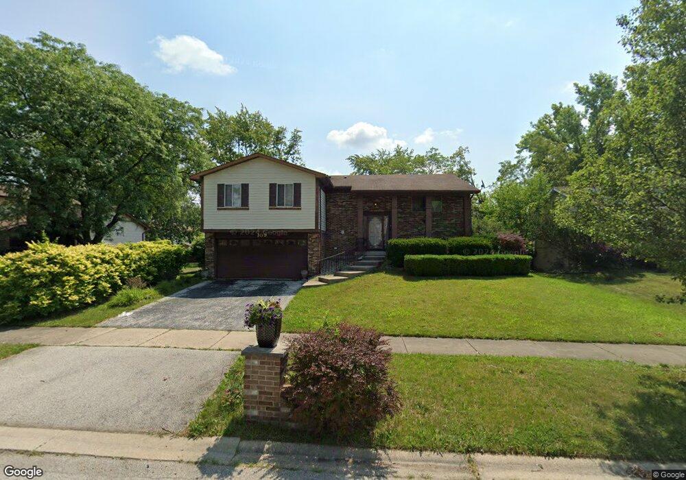
109 Pheasant Rd Matteson, IL 60443
West Matteson NeighborhoodEstimated Value: $246,000 - $270,000
4
Beds
3
Baths
1,462
Sq Ft
$176/Sq Ft
Est. Value
About This Home
This home is located at 109 Pheasant Rd, Matteson, IL 60443 and is currently estimated at $257,617, approximately $176 per square foot. 109 Pheasant Rd is a home located in Cook County with nearby schools including Colin Powell Middle School.
Ownership History
Date
Name
Owned For
Owner Type
Purchase Details
Closed on
May 7, 2010
Sold by
Frison Cook Dawn
Bought by
Frison Matthew
Current Estimated Value
Home Financials for this Owner
Home Financials are based on the most recent Mortgage that was taken out on this home.
Original Mortgage
$126,000
Interest Rate
4.77%
Mortgage Type
VA
Create a Home Valuation Report for This Property
The Home Valuation Report is an in-depth analysis detailing your home's value as well as a comparison with similar homes in the area
Home Values in the Area
Average Home Value in this Area
Purchase History
| Date | Buyer | Sale Price | Title Company |
|---|---|---|---|
| Frison Matthew | $144,000 | Cti |
Source: Public Records
Mortgage History
| Date | Status | Borrower | Loan Amount |
|---|---|---|---|
| Closed | Frison Matthew | $126,000 |
Source: Public Records
Tax History
| Year | Tax Paid | Tax Assessment Tax Assessment Total Assessment is a certain percentage of the fair market value that is determined by local assessors to be the total taxable value of land and additions on the property. | Land | Improvement |
|---|---|---|---|---|
| 2025 | $7,745 | $22,000 | $3,164 | $18,836 |
| 2024 | $7,745 | $22,000 | $3,164 | $18,836 |
| 2023 | $6,644 | $22,000 | $3,164 | $18,836 |
| 2022 | $6,644 | $15,831 | $2,769 | $13,062 |
| 2021 | $6,755 | $15,829 | $2,768 | $13,061 |
| 2020 | $6,646 | $15,829 | $2,768 | $13,061 |
| 2019 | $8,036 | $14,708 | $2,570 | $12,138 |
| 2018 | $7,919 | $14,708 | $2,570 | $12,138 |
| 2017 | $0 | $14,708 | $2,570 | $12,138 |
| 2016 | $0 | $11,389 | $2,373 | $9,016 |
| 2015 | $0 | $11,389 | $2,373 | $9,016 |
| 2014 | $3,934 | $12,361 | $2,373 | $9,988 |
| 2013 | $3,780 | $11,598 | $2,373 | $9,225 |
Source: Public Records
Map
Nearby Homes
- 124 Oriole Rd
- 123 Oriole Rd
- 152 Oakhurst Rd
- 141 Timberlane Rd
- 42 Pheasant Rd
- 56 Timberlane Rd
- 25 Pheasant Rd
- 41 Willow Rd
- 50 Willow Rd
- 133 Deerpath Rd
- 40 Huntingwood Rd
- 156 Cloverleaf Rd
- 5943 Woodgate Dr
- 6005 Woodgate Dr
- 13 Oakview Rd
- 5808 Allemong Dr
- 72 White Oaks Rd
- 6128 Wedgewood Ct
- 34 Wedgewood Rd
- 10 Wedgewood Rd
- 117 Pheasant Rd
- 110 Pheasant Rd
- 125 Pheasant Rd
- 125 Pheasant Rd
- 103 Pheasant Rd
- 118 Pheasant Rd
- 104 Pheasant Rd
- 116 Oriole Rd
- 126 Pheasant Rd
- 57 Pheasant Rd
- 131 Pheasant Rd
- 58 Pheasant Rd
- 108 Oriole Rd
- 130 Oriole Rd
- 57 Timberlane Rd
- 57 Timberlane Rd
- 105 Timberlane Rd
- 111 Timberlane Rd
- 132 Pheasant Rd
- 54 Pheasant Rd Unit 3
Your Personal Tour Guide
Ask me questions while you tour the home.