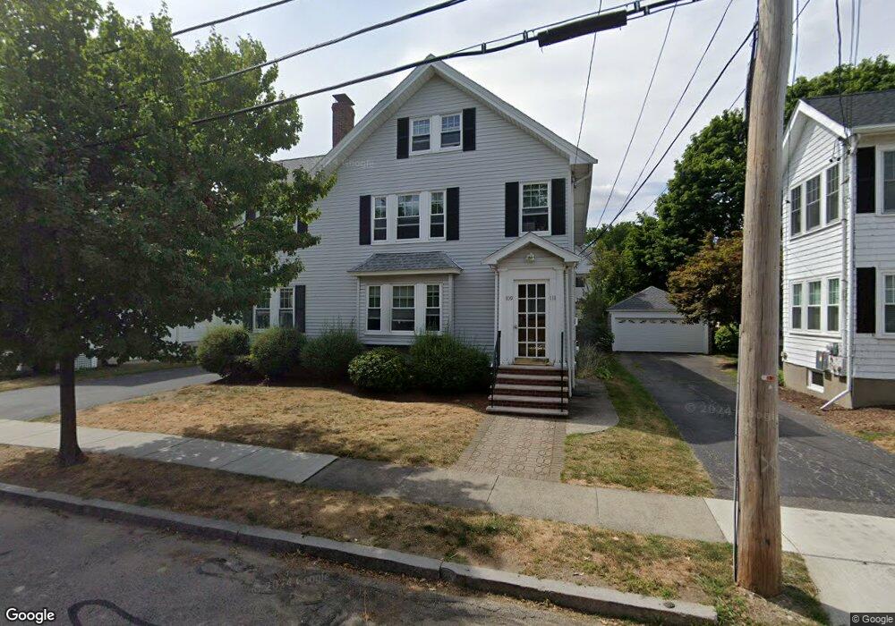
109 Poplar St Unit 1 Watertown, MA 02472
West Watertown NeighborhoodEstimated Value: $1,096,000 - $1,169,000
3
Beds
1
Bath
1,199
Sq Ft
$948/Sq Ft
Est. Value
About This Home
This home is located at 109 Poplar St Unit 1, Watertown, MA 02472 and is currently estimated at $1,136,518, approximately $947 per square foot. 109 Poplar St Unit 1 is a home located in Middlesex County with nearby schools including The Kendall School and Beacon High School.
Ownership History
Date
Name
Owned For
Owner Type
Purchase Details
Closed on
May 27, 1999
Sold by
Burns John L Est and Fishbon
Bought by
Kebabjian Raffi
Current Estimated Value
Home Financials for this Owner
Home Financials are based on the most recent Mortgage that was taken out on this home.
Original Mortgage
$280,000
Outstanding Balance
$72,447
Interest Rate
6.82%
Mortgage Type
Purchase Money Mortgage
Estimated Equity
$1,064,071
Create a Home Valuation Report for This Property
The Home Valuation Report is an in-depth analysis detailing your home's value as well as a comparison with similar homes in the area
Home Values in the Area
Average Home Value in this Area
Purchase History
| Date | Buyer | Sale Price | Title Company |
|---|---|---|---|
| Kebabjian Raffi | $350,000 | -- |
Source: Public Records
Mortgage History
| Date | Status | Borrower | Loan Amount |
|---|---|---|---|
| Open | Kebabjian Raffi | $280,000 |
Source: Public Records
Tax History Compared to Growth
Tax History
| Year | Tax Paid | Tax Assessment Tax Assessment Total Assessment is a certain percentage of the fair market value that is determined by local assessors to be the total taxable value of land and additions on the property. | Land | Improvement |
|---|---|---|---|---|
| 2025 | $11,309 | $968,200 | $525,700 | $442,500 |
| 2024 | $10,241 | $875,300 | $511,900 | $363,400 |
| 2023 | $11,529 | $849,000 | $489,600 | $359,400 |
| 2022 | $10,699 | $807,500 | $445,100 | $362,400 |
| 2021 | $9,565 | $780,800 | $430,300 | $350,500 |
| 2020 | $9,213 | $758,900 | $415,400 | $343,500 |
| 2019 | $9,035 | $701,500 | $415,400 | $286,100 |
| 2018 | $8,692 | $645,300 | $385,800 | $259,500 |
| 2017 | $8,292 | $597,000 | $337,500 | $259,500 |
| 2016 | $7,914 | $578,500 | $319,000 | $259,500 |
| 2015 | $7,676 | $510,700 | $281,900 | $228,800 |
| 2014 | $7,363 | $492,200 | $263,400 | $228,800 |
Source: Public Records
Map
Nearby Homes
- 47 Fuller Rd Unit 47
- 43 Fuller Rd Unit 45
- 45 Fuller Rd Unit 45
- 748 Belmont St
- 50 Carroll St Unit 50
- 98 Carroll St Unit 98
- 2 Bartlett Ave Unit 1
- 125 Trapelo Rd Unit 21
- 125 Trapelo Rd Unit 23
- 88 Bartlett Ave
- 33 Slade St Unit 1
- 456 Belmont St Unit 10
- 456 Belmont St Unit 21
- 59-61 Gilbert Rd
- 28 Whitney St
- 220 Westminster Ave
- 214 Palfrey St
- 72-74 Flett Rd
- 172 Westminster Ave Unit 1
- 77 Forest St
- 109 Poplar St Unit 111
- 111 Poplar St Unit 111
- 111 Poplar St Unit 2
- 111 Poplar St
- 105 Poplar St
- 105 Poplar St Unit 1
- 107 Poplar St Unit 1
- 50 Hall Ave
- 119 Poplar St
- 119 Poplar St Unit a
- 119 Poplar St Unit 2
- 119 Poplar St Unit 1
- 101 Poplar St
- 58 Hall Ave
- 103 Poplar St Unit 2
- 46 Hall Ave Unit 46
- 46 Hall Ave Unit 1
- 46 Hall Ave
- 46 Hall Ave
- 46 Hall Ave Unit 2