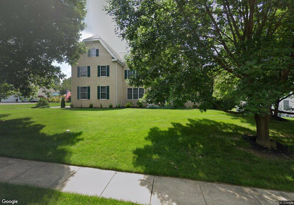
109 Richards Way Avondale, PA 19311
Estimated Value: $771,000 - $893,000
4
Beds
3
Baths
4,536
Sq Ft
$182/Sq Ft
Est. Value
About This Home
This home is located at 109 Richards Way, Avondale, PA 19311 and is currently estimated at $825,027, approximately $181 per square foot. 109 Richards Way is a home located in Chester County with nearby schools including Kennett Middle School, Kennett High School, and Avon Grove Charter School.
Ownership History
Date
Name
Owned For
Owner Type
Purchase Details
Closed on
Oct 20, 2005
Sold by
Wilkinson Signiture Llc
Bought by
Rauscher Mark R and Rauscher Kathleen
Current Estimated Value
Home Financials for this Owner
Home Financials are based on the most recent Mortgage that was taken out on this home.
Original Mortgage
$407,000
Outstanding Balance
$200,292
Interest Rate
4.5%
Mortgage Type
Fannie Mae Freddie Mac
Estimated Equity
$624,735
Create a Home Valuation Report for This Property
The Home Valuation Report is an in-depth analysis detailing your home's value as well as a comparison with similar homes in the area
Home Values in the Area
Average Home Value in this Area
Purchase History
| Date | Buyer | Sale Price | Title Company |
|---|---|---|---|
| Rauscher Mark R | $612,065 | -- |
Source: Public Records
Mortgage History
| Date | Status | Borrower | Loan Amount |
|---|---|---|---|
| Open | Rauscher Mark R | $407,000 |
Source: Public Records
Tax History Compared to Growth
Tax History
| Year | Tax Paid | Tax Assessment Tax Assessment Total Assessment is a certain percentage of the fair market value that is determined by local assessors to be the total taxable value of land and additions on the property. | Land | Improvement |
|---|---|---|---|---|
| 2025 | $10,791 | $269,460 | $83,220 | $186,240 |
| 2024 | $10,791 | $269,460 | $83,220 | $186,240 |
| 2023 | $10,430 | $269,460 | $83,220 | $186,240 |
| 2022 | $10,278 | $269,460 | $83,220 | $186,240 |
| 2021 | $10,174 | $269,460 | $83,220 | $186,240 |
| 2020 | $9,980 | $269,460 | $83,220 | $186,240 |
| 2019 | $9,845 | $269,460 | $83,220 | $186,240 |
| 2018 | $9,692 | $269,460 | $83,220 | $186,240 |
| 2017 | $9,493 | $269,460 | $83,220 | $186,240 |
| 2016 | $1,476 | $269,460 | $83,220 | $186,240 |
| 2015 | $1,476 | $269,460 | $83,220 | $186,240 |
| 2014 | $1,476 | $372,140 | $83,220 | $288,920 |
Source: Public Records
Map
Nearby Homes
- 104 Kittanset Ct
- 104 Shinnecock Hill
- 109 Regency Ct
- 100 Declan Unit HAWTHORNE
- 100 Declan Unit MAGNOLIA
- 100 Declan Unit SAVANNAH
- 100 Declan Unit NOTTINGHAM
- 139 Sharp Rd
- 941 Newark Rd
- Kipling Plan at Stonebridge at Longwood
- Kipling Plan at Holly Drive
- Kipling Plan at Enclave at Tattersall
- Woodford Plan at Stonebridge at Longwood
- Sebastian Plan at Stonebridge at Longwood
- Savannah Plan at Stonebridge at Longwood
- Nottingham Plan at Stonebridge at Longwood
- Hawthorne Plan at Stonebridge at Longwood
- Devonshire Plan at Stonebridge at Longwood
- Arcadia Plan at Stonebridge at Longwood
- Magnolia Plan at Stonebridge at Longwood
- 107 Richards Way
- 201 Richards Way
- 98 Sandy Ct
- 203 Richards Way
- 101 Sandy Ct
- 105 Richards Way
- 106 Richards Way
- 205 Richards Way
- 100 Sandy Ct
- 207 Richards Way
- 103 Sandy Ct
- 200 Richards Way
- 202 Richards Way
- 103 Richards Way
- 104 Richards Way
- 204 Richards Way
- 209 Richards Way
- 102 Sandy Ct
- 206 Richards Way
- 105 Sandy Ct