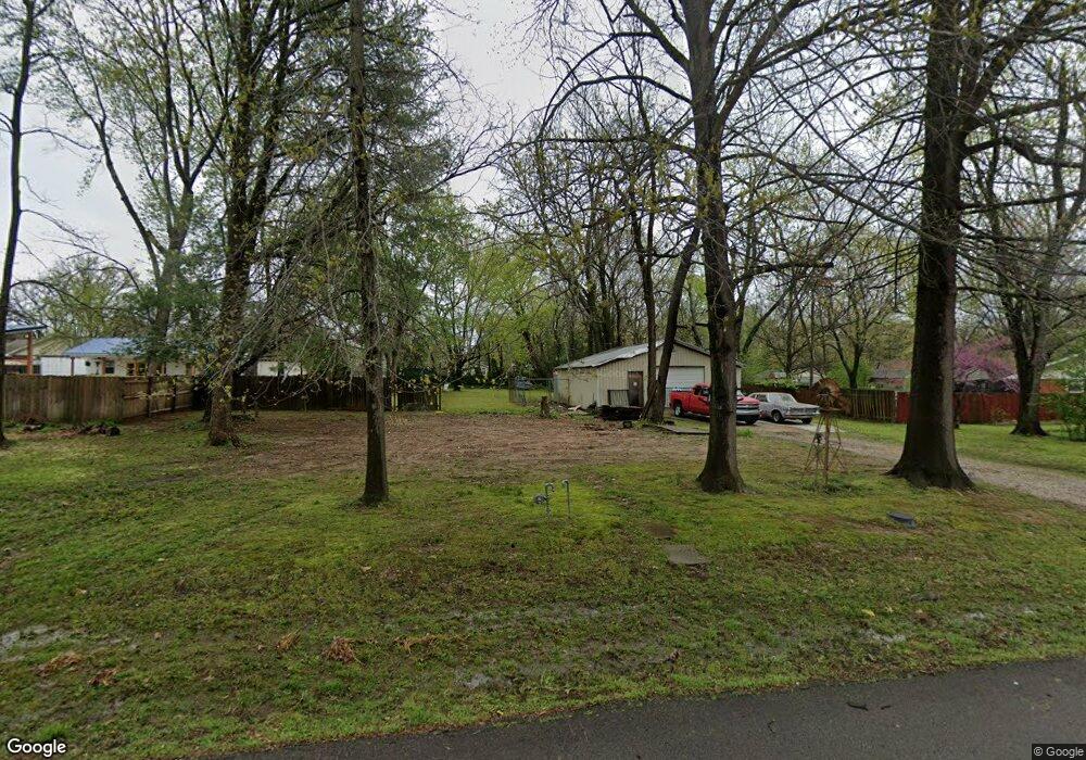
109 S Summit St Prairie Grove, AR 72753
Estimated Value: $102,796 - $230,000
--
Bed
1
Bath
616
Sq Ft
$252/Sq Ft
Est. Value
About This Home
This home is located at 109 S Summit St, Prairie Grove, AR 72753 and is currently estimated at $154,949, approximately $251 per square foot. 109 S Summit St is a home located in Washington County with nearby schools including Prairie Grove Elementary School, Prairie Grove Middle School, and Prairie Grove Junior High School.
Ownership History
Date
Name
Owned For
Owner Type
Purchase Details
Closed on
Jan 11, 2011
Sold by
Rasco Scott and Littledeer Rasco Teresa
Bought by
Rasco Scott and Littledeer Rasco Teresa
Current Estimated Value
Purchase Details
Closed on
Dec 8, 1997
Bought by
Rasco Scott
Purchase Details
Closed on
Nov 20, 1992
Bought by
Rasco Scott
Purchase Details
Closed on
Jun 18, 1986
Bought by
Mcclung Mcclung A and Mcclung Carolyn Y
Purchase Details
Closed on
Apr 23, 1982
Bought by
Triplett Danie C and Triplett Lena M
Create a Home Valuation Report for This Property
The Home Valuation Report is an in-depth analysis detailing your home's value as well as a comparison with similar homes in the area
Home Values in the Area
Average Home Value in this Area
Purchase History
| Date | Buyer | Sale Price | Title Company |
|---|---|---|---|
| Rasco Scott | -- | None Available | |
| Rasco Scott | -- | -- | |
| Rasco Scott | $20,000 | -- | |
| Mcclung Mcclung A | $2,000 | -- | |
| Triplett Danie C | -- | -- |
Source: Public Records
Tax History Compared to Growth
Tax History
| Year | Tax Paid | Tax Assessment Tax Assessment Total Assessment is a certain percentage of the fair market value that is determined by local assessors to be the total taxable value of land and additions on the property. | Land | Improvement |
|---|---|---|---|---|
| 2025 | -- | $18,280 | $11,900 | $6,380 |
| 2024 | $8 | $18,280 | $11,900 | $6,380 |
| 2023 | $78 | $18,280 | $11,900 | $6,380 |
| 2022 | $104 | $10,880 | $5,600 | $5,280 |
| 2021 | $84 | $10,880 | $5,600 | $5,280 |
| 2020 | $62 | $10,880 | $5,600 | $5,280 |
| 2019 | $40 | $7,620 | $4,200 | $3,420 |
| 2018 | $65 | $7,620 | $4,200 | $3,420 |
| 2017 | $61 | $7,620 | $4,200 | $3,420 |
| 2016 | $411 | $7,620 | $4,200 | $3,420 |
| 2015 | $411 | $7,620 | $4,200 | $3,420 |
| 2014 | $501 | $9,290 | $4,200 | $5,090 |
Source: Public Records
Map
Nearby Homes
- 901 E Buchanan St
- 881 E Buchanan St
- 606 1/2 E Buchanan St
- 107 S Ozark St
- 106 S Ozark St
- 711 Marcella St
- 304 S Summit St
- 308 S Summit St
- 700 Marcella St
- TBD Butler St
- 720 Marcella St
- 204 Armstrong St
- 224 Stapleton Dr
- 212 Marna Lynn Dr
- 152 Nebo St
- 222 Nebo St
- 841 Round Top St
- 252 Nebo St
- 208 N Neal St
- 4.66 +/- AC Tract 5 Hwy 62 & S Mock St
- 109 S Summit St
- 108 N Summit St
- 105 S Summit St
- 104 S Summit St
- 117 S Summit St
- 112 S Summit St
- 101 S Summit St
- 100 S Summit St
- 609 E Buchanan St
- 511 E Buchanan St
- 613 E Buchanan St
- 123 S Summit St
- 110 S Border St
- 122 S Summit St
- 112 S Border St
- 612 E Cleveland St
- 114 S Border St
- 505 E Buchanan St
- 103 N Summit St
- 512 E Buchanan St