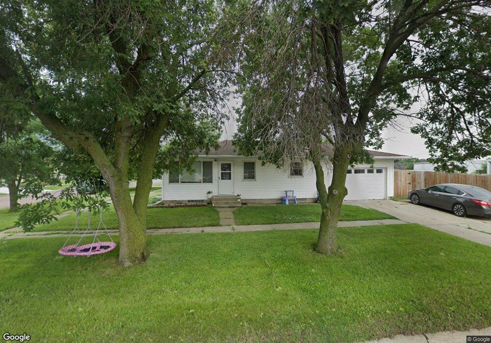
109 S Washington St Bloomfield, NE 68718
Estimated Value: $114,000 - $152,290
--
Bed
1
Bath
884
Sq Ft
$148/Sq Ft
Est. Value
About This Home
This home is located at 109 S Washington St, Bloomfield, NE 68718 and is currently estimated at $131,073, approximately $148 per square foot. 109 S Washington St is a home located in Knox County with nearby schools including Bloomfield Elementary School and Bloomfield Junior/Senior High School.
Ownership History
Date
Name
Owned For
Owner Type
Purchase Details
Closed on
Apr 29, 2024
Sold by
Dierks Brady L and Dierks Ashley L
Bought by
Mcfarland Reece J and Mcfarland Mackenzie
Current Estimated Value
Home Financials for this Owner
Home Financials are based on the most recent Mortgage that was taken out on this home.
Original Mortgage
$135,000
Outstanding Balance
$130,536
Interest Rate
6.74%
Mortgage Type
New Conventional
Estimated Equity
$537
Purchase Details
Closed on
Jan 10, 2023
Sold by
Jensen Shawn Patrick and Jensen Lyndi M
Bought by
Dierks Brady L and Dierks Ashley L
Create a Home Valuation Report for This Property
The Home Valuation Report is an in-depth analysis detailing your home's value as well as a comparison with similar homes in the area
Home Values in the Area
Average Home Value in this Area
Purchase History
| Date | Buyer | Sale Price | Title Company |
|---|---|---|---|
| Mcfarland Reece J | $150,000 | Cedar Title | |
| Dierks Brady L | $75,000 | Cedar Title |
Source: Public Records
Mortgage History
| Date | Status | Borrower | Loan Amount |
|---|---|---|---|
| Open | Mcfarland Reece J | $135,000 |
Source: Public Records
Tax History Compared to Growth
Tax History
| Year | Tax Paid | Tax Assessment Tax Assessment Total Assessment is a certain percentage of the fair market value that is determined by local assessors to be the total taxable value of land and additions on the property. | Land | Improvement |
|---|---|---|---|---|
| 2024 | $854 | $73,900 | $6,790 | $67,110 |
| 2023 | $885 | $61,570 | $6,790 | $54,780 |
| 2022 | $700 | $46,770 | $3,770 | $43,000 |
| 2021 | $669 | $44,130 | $3,280 | $40,850 |
| 2020 | $673 | $44,130 | $3,280 | $40,850 |
| 2019 | $672 | $42,695 | $3,280 | $39,415 |
| 2018 | $596 | $38,430 | $3,280 | $35,150 |
| 2017 | $605 | $38,130 | $2,980 | $35,150 |
| 2016 | $548 | $38,130 | $2,980 | $35,150 |
| 2015 | $519 | $34,395 | $1,990 | $32,405 |
| 2014 | $574 | $34,555 | $1,990 | $32,565 |
| 2013 | $495 | $28,410 | $1,990 | $26,420 |
Source: Public Records
Map
Nearby Homes
- 204 W Grant St
- 206 W Grant St
- 201 S Washington St
- 202 S Washington St
- 112 W Grant St
- 110 W Grant St
- 205 S Washington St
- 212 W Grant St
- 204 S Pierce St
- 204 S Washington St
- 207 S Washington St
- 206 S Washington St
- 206 S Pierce St
- 109 S Pierce St
- 208 S Pierce St
- 210 W Main St
- 211 S Washington St
- 212 W Main St
- 222 W Main St
- 208 W Lincoln St