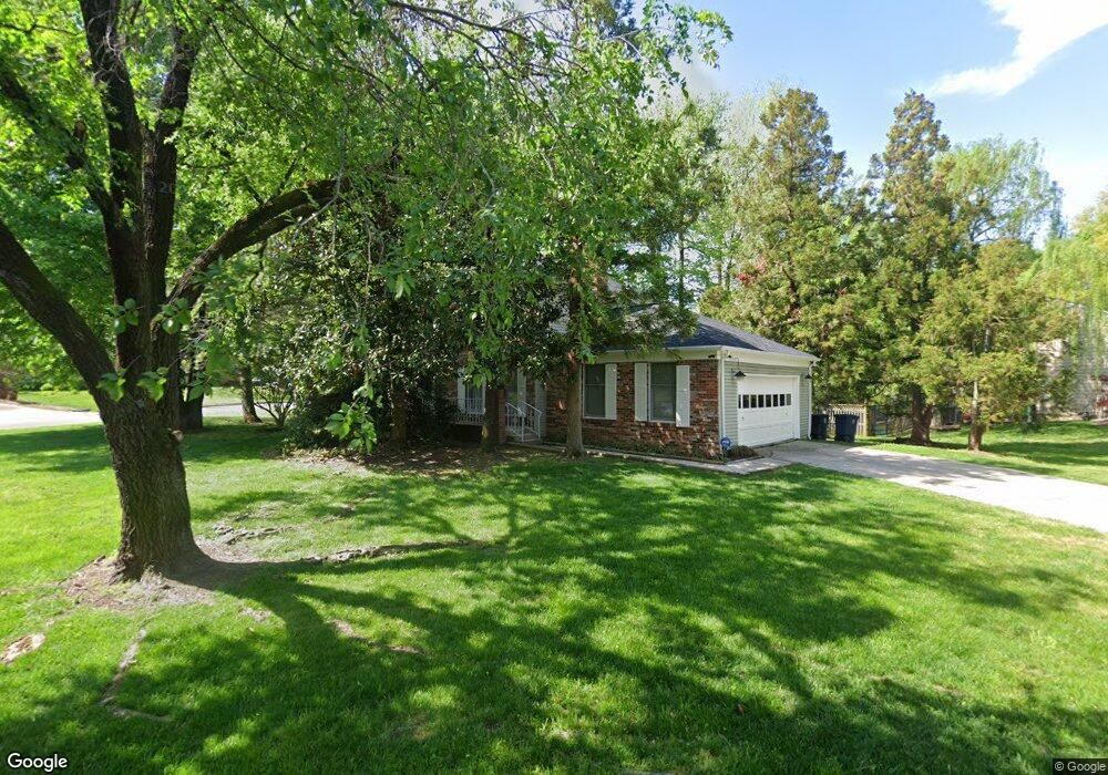
109 Saint Andrews Dr E Fort Washington, MD 20744
Estimated Value: $448,845 - $565,000
--
Bed
3
Baths
2,080
Sq Ft
$245/Sq Ft
Est. Value
About This Home
This home is located at 109 Saint Andrews Dr E, Fort Washington, MD 20744 and is currently estimated at $509,961, approximately $245 per square foot. 109 Saint Andrews Dr E is a home located in Prince George's County with nearby schools including Potomac Landing Elementary School, Accokeek Academy, and Friendly High School.
Ownership History
Date
Name
Owned For
Owner Type
Purchase Details
Closed on
Jul 20, 1995
Sold by
Smith Victor B
Bought by
Gatewood Robert L
Current Estimated Value
Home Financials for this Owner
Home Financials are based on the most recent Mortgage that was taken out on this home.
Original Mortgage
$183,800
Interest Rate
7.49%
Purchase Details
Closed on
Oct 7, 1987
Sold by
Aitken Charles W
Bought by
Smith Victor B and Smith Janis O
Create a Home Valuation Report for This Property
The Home Valuation Report is an in-depth analysis detailing your home's value as well as a comparison with similar homes in the area
Home Values in the Area
Average Home Value in this Area
Purchase History
| Date | Buyer | Sale Price | Title Company |
|---|---|---|---|
| Gatewood Robert L | $193,500 | -- | |
| Smith Victor B | $159,000 | -- |
Source: Public Records
Mortgage History
| Date | Status | Borrower | Loan Amount |
|---|---|---|---|
| Closed | Gatewood Robert L | $183,800 |
Source: Public Records
Tax History Compared to Growth
Tax History
| Year | Tax Paid | Tax Assessment Tax Assessment Total Assessment is a certain percentage of the fair market value that is determined by local assessors to be the total taxable value of land and additions on the property. | Land | Improvement |
|---|---|---|---|---|
| 2025 | $5,347 | $439,867 | -- | -- |
| 2024 | $5,347 | $423,000 | $126,700 | $296,300 |
| 2023 | $5,132 | $396,333 | $0 | $0 |
| 2022 | $4,869 | $369,667 | $0 | $0 |
| 2021 | $4,612 | $343,000 | $125,800 | $217,200 |
| 2020 | $4,526 | $330,567 | $0 | $0 |
| 2019 | $4,078 | $318,133 | $0 | $0 |
| 2018 | $4,284 | $305,700 | $100,800 | $204,900 |
| 2017 | $3,806 | $284,933 | $0 | $0 |
| 2016 | -- | $264,167 | $0 | $0 |
| 2015 | $3,706 | $243,400 | $0 | $0 |
| 2014 | $3,706 | $243,400 | $0 | $0 |
Source: Public Records
Map
Nearby Homes
- 12618 Prestwick Dr
- 12700 Parkton St
- 12800 Asbury Dr
- 200 Bonhill Dr
- 202 Bonhill Dr
- 500 Bonhill Dr
- 500 Holly Rd
- 504 Holly Rd
- 12417 Parkton St
- 12817 Glasgow Ct
- 13030 Old Fort Rd
- 513 Holly Rd
- 411 Rexburg Ave
- 502 Castleray Cir
- 518 W Tantallon Dr
- 0 Holly Rd Unit MDPG2160552
- 13305 Old Fort Rd
- 12306 Dendron Place
- 509 Troon Cir
- 12301 Arrow Park Dr
- 12703 Macduff Dr
- 107 Saint Andrews Dr E
- 12625 Macduff Dr
- 108 Saint Andrews Dr E
- 12702 Macduff Dr
- 12707 Macduff Dr
- 114 Saint Andrews Dr E
- 105 Saint Andrews Dr E
- 12623 Macduff Dr
- 12604 Abbottsford Cir
- 115 Saint Andrews Dr E
- 12709 Macduff Dr
- 12706 Macduff Dr
- 12609 Abbottsford Cir
- 12802 Falkirk Cir
- 116 Saint Andrews Dr E
- 12624 Macduff Dr
- 12607 Abbottsford Cir
- 12621 Macduff Dr
- 12711 Macduff Dr