109 Seapuit Rd Osterville, MA 02655
Osterville NeighborhoodEstimated Value: $5,332,669
4
Beds
6
Baths
6,470
Sq Ft
$824/Sq Ft
Est. Value
About This Home
This home is located at 109 Seapuit Rd, Osterville, MA 02655 and is currently priced at $5,332,669, approximately $824 per square foot. 109 Seapuit Rd is a home located in Barnstable County with nearby schools including West Villages Elementary School, Barnstable United Elementary School, and Barnstable Intermediate School.
Ownership History
Date
Name
Owned For
Owner Type
Purchase Details
Closed on
Dec 7, 2018
Sold by
Mccartney John and Mccartney Christine
Bought by
109 Seapuit Rt
Current Estimated Value
Purchase Details
Closed on
May 26, 2010
Sold by
David & Lorraine Rt
Bought by
Mccartney John
Purchase Details
Closed on
Jul 11, 2003
Sold by
Rabb Charlotte F and Rabb Irving W
Bought by
David And Lorraine Rt
Home Financials for this Owner
Home Financials are based on the most recent Mortgage that was taken out on this home.
Original Mortgage
$1,850,000
Interest Rate
5.45%
Mortgage Type
Purchase Money Mortgage
Create a Home Valuation Report for This Property
The Home Valuation Report is an in-depth analysis detailing your home's value as well as a comparison with similar homes in the area
Home Values in the Area
Average Home Value in this Area
Purchase History
| Date | Buyer | Sale Price | Title Company |
|---|---|---|---|
| 109 Seapuit Rt | -- | -- | |
| Mccartney John | $500,000 | -- | |
| David And Lorraine Rt | $545,000 | -- |
Source: Public Records
Mortgage History
| Date | Status | Borrower | Loan Amount |
|---|---|---|---|
| Previous Owner | David And Lorraine Rt | $1,850,000 |
Source: Public Records
Tax History Compared to Growth
Tax History
| Year | Tax Paid | Tax Assessment Tax Assessment Total Assessment is a certain percentage of the fair market value that is determined by local assessors to be the total taxable value of land and additions on the property. | Land | Improvement |
|---|---|---|---|---|
| 2025 | $33,236 | $4,108,300 | $1,849,600 | $2,258,700 |
| 2024 | $30,358 | $3,887,100 | $1,849,600 | $2,037,500 |
| 2023 | $26,976 | $3,234,500 | $1,467,200 | $1,767,300 |
| 2022 | $25,326 | $2,627,200 | $1,131,400 | $1,495,800 |
| 2021 | $26,646 | $2,540,100 | $1,164,700 | $1,375,400 |
| 2020 | $27,294 | $2,490,300 | $1,165,900 | $1,324,400 |
| 2019 | $27,011 | $2,394,600 | $1,066,100 | $1,328,500 |
| 2018 | $25,877 | $2,306,300 | $1,122,200 | $1,184,100 |
| 2017 | $23,599 | $2,193,200 | $1,122,200 | $1,071,000 |
| 2016 | $23,906 | $2,193,200 | $1,122,200 | $1,071,000 |
| 2015 | $23,267 | $2,144,400 | $1,073,500 | $1,070,900 |
Source: Public Records
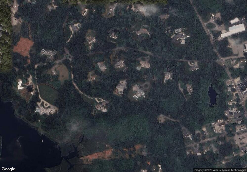
Map
Nearby Homes
- 98 Bunker Hill Rd
- 64 Bay St
- 920 Main St Unit 1 Building 2
- 920 Main St Unit 2-1
- 40 Waterfield Rd
- 39 Tower Hill Rd Unit 1C
- 359 Baxter Neck Rd
- 355 Bridge St
- 369 Bumps River Rd
- 60 Smoke Valley Rd
- 71 Sand Point
- 268 Bumps River Rd
- 77 Robbins St
- 431 Baxters Neck Rd
- 476 Baxters Neck Rd
- 476 Baxter Neck Rd
- 38 Beach Plum Hill Rd
- 81 Falling Leaf Ln
- 25 Oyster Way
- 245 N Bay Rd