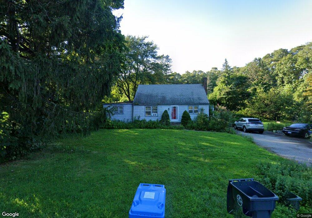
109 Sharp Hill Rd Uncasville, CT 06382
Estimated Value: $332,000 - $373,000
5
Beds
6
Baths
1,442
Sq Ft
$245/Sq Ft
Est. Value
About This Home
This home is located at 109 Sharp Hill Rd, Uncasville, CT 06382 and is currently estimated at $353,827, approximately $245 per square foot. 109 Sharp Hill Rd is a home located in New London County with nearby schools including Leonard J. Tyl Middle School, Montville High School, and Bradley School-New London Regional.
Ownership History
Date
Name
Owned For
Owner Type
Purchase Details
Closed on
Nov 30, 2009
Sold by
Manville Wilfred L
Bought by
Finlayson Sean W and Finlayson Jennifer E
Current Estimated Value
Home Financials for this Owner
Home Financials are based on the most recent Mortgage that was taken out on this home.
Original Mortgage
$186,500
Outstanding Balance
$121,771
Interest Rate
4.92%
Estimated Equity
$232,056
Create a Home Valuation Report for This Property
The Home Valuation Report is an in-depth analysis detailing your home's value as well as a comparison with similar homes in the area
Home Values in the Area
Average Home Value in this Area
Purchase History
| Date | Buyer | Sale Price | Title Company |
|---|---|---|---|
| Finlayson Sean W | $190,000 | -- | |
| Finlayson Sean W | $190,000 | -- |
Source: Public Records
Mortgage History
| Date | Status | Borrower | Loan Amount |
|---|---|---|---|
| Open | Finlayson Sean W | $186,500 | |
| Closed | Finlayson Sean W | $11,200 | |
| Closed | Finlayson Sean W | $186,500 |
Source: Public Records
Tax History
| Year | Tax Paid | Tax Assessment Tax Assessment Total Assessment is a certain percentage of the fair market value that is determined by local assessors to be the total taxable value of land and additions on the property. | Land | Improvement |
|---|---|---|---|---|
| 2025 | $3,917 | $135,660 | $32,270 | $103,390 |
| 2024 | $3,767 | $135,660 | $32,270 | $103,390 |
| 2023 | $3,767 | $135,660 | $32,270 | $103,390 |
| 2022 | $3,623 | $135,660 | $32,270 | $103,390 |
| 2021 | $3,619 | $118,390 | $37,330 | $81,060 |
| 2020 | $3,833 | $118,390 | $37,330 | $81,060 |
| 2019 | $3,619 | $118,390 | $37,330 | $81,060 |
| 2018 | $3,619 | $118,390 | $37,320 | $81,070 |
| 2017 | $3,619 | $118,390 | $37,320 | $81,070 |
| 2016 | $3,895 | $127,240 | $45,200 | $82,040 |
| 2015 | $3,895 | $127,240 | $45,200 | $82,040 |
| 2014 | $3,737 | $127,240 | $45,200 | $82,040 |
Source: Public Records
Map
Nearby Homes
- 52 Carol Dr
- 320 Maple Ave
- 79 Cottonwood Ln
- 0 Monahan Dr
- 355 Route 163
- 76 Gay Hill Rd
- 31 Bridge St
- 2 Fawns Meadow Rd
- 66 Rainbow Dr
- 18 Hillcrest Dr
- 82C Pires Dr
- 901 Old Colchester Rd
- 16 Greystone Dr
- 19 Moxley Rd
- 107 Woodland Dr Unit B
- 455 Chesterfield Rd
- 11 Blumenthal Dr
- 1040 E Lake Rd
- 197 Norwich-New London Turnpike
- 63 Velgouse Rd
- 113 Sharp Hill Rd
- 99 Sharp Hill Rd
- 119 Sharp Hill Rd
- 112 Sharp Hill Rd
- 95 Sharp Hill Rd
- 102 Sharp Hill Rd
- 116 Sharp Hill Rd
- 98 Sharp Hill Rd
- 12 Carol Dr
- 16 Carol Dr
- 131 Sharp Hill Rd
- 8 Carol Dr
- 4 Carol Dr
- 47 Sharp Hill Rd
- 20 Carol Dr
- 24 Carol Dr
- 135 Sharp Hill Rd
- 106 Sharp Hill Rd
- 130 Sharp Hill Rd
- 128 Sharp Hill Rd
Your Personal Tour Guide
Ask me questions while you tour the home.