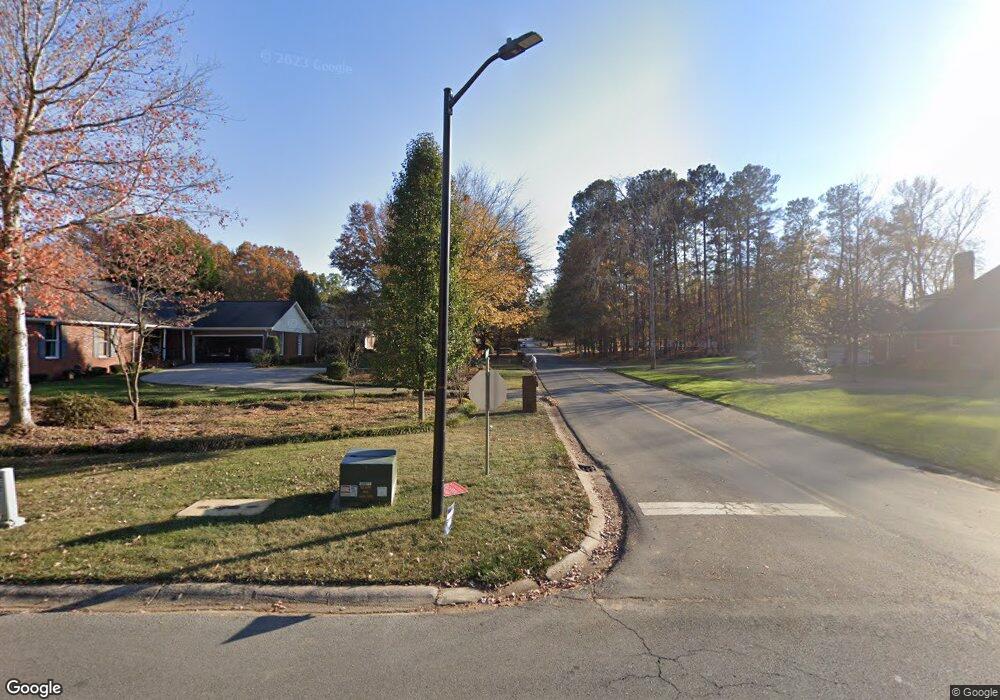
109 Shenandoah Dr NE Calhoun, GA 30701
Estimated Value: $449,124
4
Beds
4
Baths
2,216
Sq Ft
$203/Sq Ft
Est. Value
About This Home
This home is located at 109 Shenandoah Dr NE, Calhoun, GA 30701 and is currently priced at $449,124, approximately $202 per square foot. 109 Shenandoah Dr NE is a home located in Gordon County with nearby schools including Calhoun Primary School, Calhoun Elementary School, and Calhoun Middle School.
Ownership History
Date
Name
Owned For
Owner Type
Purchase Details
Closed on
May 3, 2011
Sold by
Federal National Mortgage Association
Bought by
Walraven Johnny C
Current Estimated Value
Purchase Details
Closed on
Nov 2, 2010
Sold by
Gmac Mortgage Llc
Bought by
Federal National Mortgage Association
Purchase Details
Closed on
Sep 28, 2004
Sold by
Wyatt Regina F and Wyatt Sammy
Bought by
Blair Wayne O and Blair Erin E
Purchase Details
Closed on
Feb 11, 2002
Sold by
Wyatt Regina Faye
Bought by
Wyatt Regina F and Wyatt Sammy
Purchase Details
Closed on
Jan 30, 2002
Sold by
Wyatt Sammy and Regina Faye Wy
Bought by
Wyatt Regina Faye
Purchase Details
Closed on
Jul 12, 2001
Sold by
Wyatt Sammy and Regina Faye Wy
Bought by
Wyatt Sammy and Regina Faye Wy
Purchase Details
Closed on
Mar 24, 2000
Bought by
Wyatt Sammy and Regina Faye Wy
Create a Home Valuation Report for This Property
The Home Valuation Report is an in-depth analysis detailing your home's value as well as a comparison with similar homes in the area
Home Values in the Area
Average Home Value in this Area
Purchase History
| Date | Buyer | Sale Price | Title Company |
|---|---|---|---|
| Walraven Johnny C | $205,000 | -- | |
| Federal National Mortgage Association | $207,900 | -- | |
| Blair Wayne O | $255,000 | -- | |
| Wyatt Regina F | -- | -- | |
| Wyatt Regina Faye | -- | -- | |
| Wyatt Sammy | $2,500 | -- | |
| Wyatt Sammy | $20,000 | -- |
Source: Public Records
Tax History Compared to Growth
Tax History
| Year | Tax Paid | Tax Assessment Tax Assessment Total Assessment is a certain percentage of the fair market value that is determined by local assessors to be the total taxable value of land and additions on the property. | Land | Improvement |
|---|---|---|---|---|
| 2021 | $1,152 | $121,040 | $12,600 | $108,440 |
| 2020 | $1,176 | $122,520 | $12,600 | $109,920 |
| 2019 | $1,180 | $122,520 | $12,600 | $109,920 |
| 2018 | $1,112 | $115,440 | $12,600 | $102,840 |
Source: Public Records
Map
Nearby Homes
- 126 Summerfield Ln NE
- 102 Sycamore Ln
- 111 Sycamore Ln
- 113 Sycamore Ln
- 114 Sycamore Ln
- 116 Sycamore Ln
- 118 Sycamore Ln
- 129 Green Meadow Ln NE
- The Crawford Plan at Sycamore Crest
- The Benson II Plan at Sycamore Crest
- The Norwood II Plan at Sterling at the Villages
- The Piedmont Plan at Sycamore Crest
- The Caldwell Plan at Sycamore Crest
- The McGinnis Plan at Sycamore Crest
- The Bradley Plan at Sycamore Crest
- The Harrington Plan at Sycamore Crest
- 216 Sycamore Dr
- 225 Sycamore Dr
- 201 Shenandoah Dr NE
- 105 Shenandoah Dr NE
- 110 Shenandoah Dr NE
- 202 Shenandoah Dr NE
- 108 Shenandoah Dr NE
- 219 Shenandoah Dr NE
- 1744 Dews Pond Rd NE
- 103 Shenandoah Dr NE
- 103 Shenandoah Dr NE
- 210 Shenandoah Dr NE
- 124 Summerfield Ln NE
- 106 Shenandoah Dr NE
- 122 Summerfield Ln NE
- 1692 Dews Pond Rd NE
- 237 Shenandoah Dr NE
- 00E Dews Pond Rd SE
- 00D Dews Pond Rd SE
- 00C Dews Pond Rd SE
- 00B Dews Pond Rd SE
- 00A Dews Pond Rd SE
