109 Southpoint Dr Saint Simons Island, GA 31522
Estimated Value: $1,389,000 - $2,324,174
4
Beds
5
Baths
4,746
Sq Ft
$407/Sq Ft
Est. Value
About This Home
This home is located at 109 Southpoint Dr, Saint Simons Island, GA 31522 and is currently estimated at $1,933,544, approximately $407 per square foot. 109 Southpoint Dr is a home located in Glynn County with nearby schools including St. Simons Elementary School, Glynn Middle School, and Glynn Academy.
Ownership History
Date
Name
Owned For
Owner Type
Purchase Details
Closed on
Aug 15, 2008
Sold by
Gafford Diana G
Bought by
Gafford Jerry B
Current Estimated Value
Purchase Details
Closed on
Jan 3, 2006
Sold by
Vakili Abbas
Bought by
Gafford Jerry B and Gafford Diana G
Create a Home Valuation Report for This Property
The Home Valuation Report is an in-depth analysis detailing your home's value as well as a comparison with similar homes in the area
Home Values in the Area
Average Home Value in this Area
Purchase History
| Date | Buyer | Sale Price | Title Company |
|---|---|---|---|
| Gafford Jerry B | -- | -- | |
| Gafford Jerry B | $559,000 | -- |
Source: Public Records
Tax History Compared to Growth
Tax History
| Year | Tax Paid | Tax Assessment Tax Assessment Total Assessment is a certain percentage of the fair market value that is determined by local assessors to be the total taxable value of land and additions on the property. | Land | Improvement |
|---|---|---|---|---|
| 2025 | $15,519 | $618,800 | $220,000 | $398,800 |
| 2024 | $13,726 | $547,320 | $196,000 | $351,320 |
| 2023 | $3,470 | $547,320 | $196,000 | $351,320 |
| 2022 | $3,672 | $491,320 | $140,000 | $351,320 |
| 2021 | $3,775 | $480,840 | $140,000 | $340,840 |
| 2020 | $2,738 | $280,560 | $130,000 | $150,560 |
| 2019 | $2,738 | $280,560 | $130,000 | $150,560 |
| 2018 | $2,738 | $280,560 | $130,000 | $150,560 |
| 2017 | $2,738 | $280,560 | $130,000 | $150,560 |
| 2016 | $2,184 | $280,560 | $130,000 | $150,560 |
| 2015 | $2,184 | $280,560 | $130,000 | $150,560 |
| 2014 | $2,184 | $280,560 | $130,000 | $150,560 |
Source: Public Records
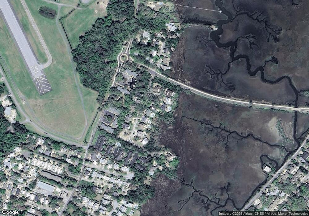
Map
Nearby Homes
- 105 Thompson Cove
- 1528 Ocean Blvd
- 1460 Ocean Blvd Unit 101
- 1495 Wood Ave
- 1524 Wood Ave Unit 303
- 1524 Wood Ave Unit 215
- 1524 Wood Ave Unit 214
- 1524 Wood Ave Unit 314
- 108 Rosa Dorsey Ln
- 1470 Wood Ave Unit 203
- 1440 Ocean Blvd Unit 420
- 1440 Ocean Blvd Unit 437
- 1440 Ocean Blvd Unit 127
- 1440 Ocean Blvd Unit 324
- 1440 Ocean Blvd Unit 224
- 1440 Ocean Blvd Unit 119
- 134 Ibis Cove
- 1604 Bruce Dr
- 17 Sea Oats Ln
- 1332 Oak St Unit 9
- 111 Southpoint Dr
- 105 Southpoint Dr
- 107 Southpoint Dr
- 113 Southpoint Dr
- 101 Southpoint Dr
- 103 Southpoint Dr
- 106 Souhtpoint Dr
- 115 Southpoint Dr
- 106 Southpoint Dr
- 104 Southpoint Dr
- 108 Southpoint Dr
- Lot 6 Sixteenth Street East Beach
- 102 Southpoint Dr
- 0000 Sixteenth Street Beach E
- 7 Southpoint Dr
- 12 Southpoint Dr
- 110 Southpoint Dr
- 117 Southpoint Drive (Lot 16)
- 119 Southpoint Dr
- 117 Southpoint Dr