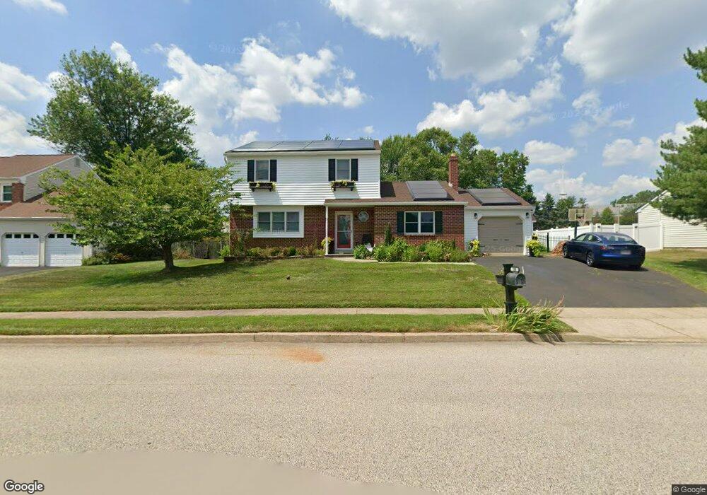
109 Stable Rd Norristown, PA 19403
Estimated Value: $497,000 - $576,000
3
Beds
3
Baths
2,136
Sq Ft
$245/Sq Ft
Est. Value
About This Home
This home is located at 109 Stable Rd, Norristown, PA 19403 and is currently estimated at $523,117, approximately $244 per square foot. 109 Stable Rd is a home located in Montgomery County with nearby schools including Charles Blockson Middle School, Whitehall Elementary School, and East Norriton Middle School.
Ownership History
Date
Name
Owned For
Owner Type
Purchase Details
Closed on
Jul 18, 2008
Sold by
Bucci Frank S and Bucci Janice M
Bought by
Lennick Evan M and Lennick Natalie M
Current Estimated Value
Home Financials for this Owner
Home Financials are based on the most recent Mortgage that was taken out on this home.
Original Mortgage
$28,000
Outstanding Balance
$18,503
Interest Rate
6.47%
Estimated Equity
$504,614
Create a Home Valuation Report for This Property
The Home Valuation Report is an in-depth analysis detailing your home's value as well as a comparison with similar homes in the area
Home Values in the Area
Average Home Value in this Area
Purchase History
| Date | Buyer | Sale Price | Title Company |
|---|---|---|---|
| Lennick Evan M | $315,000 | None Available |
Source: Public Records
Mortgage History
| Date | Status | Borrower | Loan Amount |
|---|---|---|---|
| Open | Lennick Evan M | $28,000 | |
| Open | Lennick Evan M | $252,000 |
Source: Public Records
Tax History Compared to Growth
Tax History
| Year | Tax Paid | Tax Assessment Tax Assessment Total Assessment is a certain percentage of the fair market value that is determined by local assessors to be the total taxable value of land and additions on the property. | Land | Improvement |
|---|---|---|---|---|
| 2025 | $7,720 | $158,000 | $45,870 | $112,130 |
| 2024 | $7,720 | $158,000 | $45,870 | $112,130 |
| 2023 | $7,632 | $158,000 | $45,870 | $112,130 |
| 2022 | $7,583 | $158,000 | $45,870 | $112,130 |
| 2021 | $7,537 | $158,000 | $45,870 | $112,130 |
| 2020 | $7,312 | $158,000 | $45,870 | $112,130 |
| 2019 | $7,148 | $158,000 | $45,870 | $112,130 |
| 2018 | $5,586 | $158,000 | $45,870 | $112,130 |
| 2017 | $6,749 | $158,000 | $45,870 | $112,130 |
| 2016 | $6,687 | $158,000 | $45,870 | $112,130 |
| 2015 | $6,195 | $158,000 | $45,870 | $112,130 |
| 2014 | $6,195 | $158,000 | $45,870 | $112,130 |
Source: Public Records
Map
Nearby Homes
- 136 Markley Farm Cir
- 24 Wayne Ave
- 32 Miami Rd
- 37 Burnside Ave
- 301 Winterfall Ave
- 1332 Statesman Rd
- 2055 W Marshall St
- 44 N Barry Ave
- 2020 Sterigere St
- 4021 Killington Ct
- 68 Jefferson Ave
- 115 Sunnyside Ave
- 520 Deerfield Dr
- 801 N Park Ave
- 2044 Mill Rd
- 930 Heritage Dr
- 1104 Arden Dr Unit METHACTON SCHOOL
- 00 Arden Dr Unit METHACTON SCHOOL
- 2817 Delta Ln
- 636 Hillside Ave
- 113 Stable Rd
- 105 Stable Rd
- 117 Stable Rd
- 102 Wagon Wheel Rd
- 2501 Chestnut Ave
- 2505 Chestnut Ave
- 121 Stable Rd
- 2453 Chestnut Ave
- 106 Wagon Wheel Rd
- 101 Wagon Wheel Rd
- 125 Stable Rd
- 2449 Chestnut Ave
- 110 Wagon Wheel Rd
- 105 Wagon Wheel Rd
- 2536 Chestnut Ave
- 2538 Chestnut Ave
- 2445 Chestnut Ave
- 129 Stable Rd
- 114 Wagon Wheel Rd
- 109 Wagon Wheel Rd