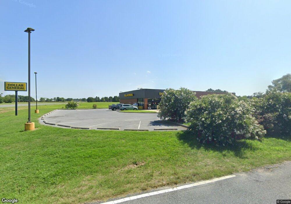
109 State St Sharptown, MD 21861
Estimated Value: $2,466,256
3
Beds
2
Baths
1,400
Sq Ft
$1,762/Sq Ft
Est. Value
About This Home
This home is located at 109 State St, Sharptown, MD 21861 and is currently estimated at $2,466,256, approximately $1,761 per square foot. 109 State St is a home located in Wicomico County with nearby schools including Northwestern Elementary School.
Ownership History
Date
Name
Owned For
Owner Type
Purchase Details
Closed on
Nov 5, 2018
Sold by
Ocd 1 Llc
Bought by
Sharptown Dg Llc
Current Estimated Value
Purchase Details
Closed on
Jan 25, 2018
Sold by
The Farmers Bank Of Willards
Bought by
Ocd 1 Llc
Home Financials for this Owner
Home Financials are based on the most recent Mortgage that was taken out on this home.
Original Mortgage
$1,150,568
Interest Rate
3.95%
Mortgage Type
Purchase Money Mortgage
Purchase Details
Closed on
Jul 21, 2011
Sold by
Smith Philip C
Bought by
The Farmers Bank Of Willards
Purchase Details
Closed on
Jan 30, 2002
Sold by
B & B Flynn Corporation
Bought by
Roop'S Loop Llc
Purchase Details
Closed on
Jun 12, 2001
Sold by
Homan Stokes H
Bought by
B & B Flynn Corporation
Create a Home Valuation Report for This Property
The Home Valuation Report is an in-depth analysis detailing your home's value as well as a comparison with similar homes in the area
Home Values in the Area
Average Home Value in this Area
Purchase History
| Date | Buyer | Sale Price | Title Company |
|---|---|---|---|
| Sharptown Dg Llc | $1,522,473 | None Available | |
| Ocd 1 Llc | $200,000 | None Available | |
| The Farmers Bank Of Willards | $3,635 | None Available | |
| Roop'S Loop Llc | $147,000 | -- | |
| B & B Flynn Corporation | $100,000 | -- |
Source: Public Records
Mortgage History
| Date | Status | Borrower | Loan Amount |
|---|---|---|---|
| Previous Owner | Ocd 1 Llc | $1,150,568 |
Source: Public Records
Tax History Compared to Growth
Tax History
| Year | Tax Paid | Tax Assessment Tax Assessment Total Assessment is a certain percentage of the fair market value that is determined by local assessors to be the total taxable value of land and additions on the property. | Land | Improvement |
|---|---|---|---|---|
| 2025 | $14,047 | $1,476,433 | $0 | $0 |
| 2024 | $14,047 | $1,465,067 | $0 | $0 |
| 2023 | $14,372 | $1,453,700 | $199,900 | $1,253,800 |
| 2022 | $14,088 | $1,382,567 | $0 | $0 |
| 2021 | $13,099 | $1,311,433 | $0 | $0 |
| 2020 | $12,791 | $1,240,300 | $199,900 | $1,040,400 |
| 2019 | $12,697 | $1,213,200 | $0 | $0 |
| 2018 | $12,475 | $1,186,100 | $0 | $0 |
| 2017 | $145 | $13,600 | $0 | $0 |
| 2016 | $407 | $13,600 | $0 | $0 |
| 2015 | $407 | $13,600 | $0 | $0 |
| 2014 | $407 | $18,600 | $0 | $0 |
Source: Public Records
Map
Nearby Homes
- 507 Ferry St
- 603 Ferry St
- 611 Main St
- 0 Quinton Rd Unit MDWC2009044
- 407 Main St
- 715 Main St
- 0 Sharptown Line Rd
- 605 4th St
- 605 State St
- 0 Callaway Wharf Rd
- 33016 Forest Knoll Dr
- 33015 Forest Knoll Dr
- 11654 Norris Twilley Rd
- 5611 Galestown Rd
- 5880 Wheatley Church Rd
- 11511 Old School Rd
- Lot 1 Old Sharptown Rd
- 11285 Snethen Church Rd
- 6108 Delaware Line-Reliance Rd
- 11453 Riverton Rd