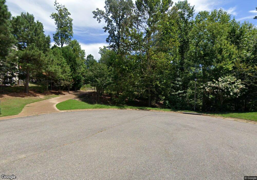
109 Stone Path Williamsburg, VA 23185
Jamestown NeighborhoodEstimated Value: $715,000 - $781,000
5
Beds
5
Baths
3,176
Sq Ft
$236/Sq Ft
Est. Value
About This Home
This home is located at 109 Stone Path, Williamsburg, VA 23185 and is currently estimated at $749,198, approximately $235 per square foot. 109 Stone Path is a home located in James City County with nearby schools including Clara Byrd Baker Elementary School, Berkeley Middle School, and Jamestown High School.
Ownership History
Date
Name
Owned For
Owner Type
Purchase Details
Closed on
Sep 15, 2008
Sold by
Wayne Harbin Builder
Bought by
Thompson John M
Current Estimated Value
Home Financials for this Owner
Home Financials are based on the most recent Mortgage that was taken out on this home.
Original Mortgage
$240,000
Outstanding Balance
$160,015
Interest Rate
6.57%
Mortgage Type
New Conventional
Estimated Equity
$589,183
Create a Home Valuation Report for This Property
The Home Valuation Report is an in-depth analysis detailing your home's value as well as a comparison with similar homes in the area
Home Values in the Area
Average Home Value in this Area
Purchase History
| Date | Buyer | Sale Price | Title Company |
|---|---|---|---|
| Thompson John M | $570,000 | -- |
Source: Public Records
Mortgage History
| Date | Status | Borrower | Loan Amount |
|---|---|---|---|
| Open | Thompson John M | $240,000 |
Source: Public Records
Tax History Compared to Growth
Tax History
| Year | Tax Paid | Tax Assessment Tax Assessment Total Assessment is a certain percentage of the fair market value that is determined by local assessors to be the total taxable value of land and additions on the property. | Land | Improvement |
|---|---|---|---|---|
| 2025 | $5,826 | $701,900 | $194,100 | $507,800 |
| 2023 | $5,475 | $555,500 | $136,000 | $419,500 |
| 2022 | $4,611 | $555,500 | $136,000 | $419,500 |
| 2021 | $4,403 | $524,200 | $128,000 | $396,200 |
| 2020 | $4,403 | $524,200 | $128,000 | $396,200 |
| 2019 | $4,403 | $524,200 | $128,000 | $396,200 |
| 2018 | $4,403 | $524,200 | $128,000 | $396,200 |
| 2017 | $4,310 | $513,100 | $128,000 | $385,100 |
| 2016 | $4,310 | $513,100 | $128,000 | $385,100 |
| 2015 | $2,108 | $501,900 | $128,000 | $373,900 |
| 2014 | $3,865 | $501,900 | $128,000 | $373,900 |
Source: Public Records
Map
Nearby Homes
- 116 Mill Stream Way
- 88 Holly Grove
- 134 Lakewood Dr
- 124 Lake Dr
- 12 Bromley Dr
- 113 Ware Rd
- 1 Brandon Cir
- 4655 John Tyler Hwy
- 3305 Running Cedar Way
- 3302 Running Cedar Way
- 5105 Rolling Reach
- 5205 Scenic Ct
- 3313 Running Cedar Way
- 4932 John Tyler Hwy
- 5109 Shoreline Ct
- 402 Prosperity Ct
- 4384 Landfall Dr
- 4544 Wimbledon Way
- 5309 Queen Bishop Ln
- 4412 Powhatan Crossing
- 312 Mill Stream Way
- 320 Mill Stream Way
- 105 Stone Path
- 308 Mill Stream Way
- 324 Mill Stream Way
- 115 Stone Path
- 304 Mill Stream Way
- 117 Holly Grove
- 108 Stone Path
- 112 Stone Path
- 104 Stone Path
- 101 Laurel Keep
- 113 Holly Grove
- 319 Mill Stream Way
- 298 Mill Stream Way
- 116 Holly Grove
- 309 Mill Stream Way
- 100 Stone Path
- 328 Mill Stream Way
- 305 Mill Stream Way
