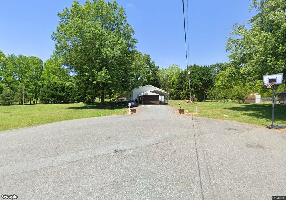
109 Sunset Cir Locust, NC 28097
Estimated Value: $216,000 - $286,000
3
Beds
2
Baths
1,200
Sq Ft
$217/Sq Ft
Est. Value
About This Home
This home is located at 109 Sunset Cir, Locust, NC 28097 and is currently estimated at $260,076, approximately $216 per square foot. 109 Sunset Cir is a home located in Stanly County with nearby schools including Locust Elementary School, West Stanly Middle School, and West Stanly High School.
Ownership History
Date
Name
Owned For
Owner Type
Purchase Details
Closed on
Mar 13, 2020
Sold by
Furr Christopher Dale and Furr Nicole Kinley
Bought by
Kinley Lynn Guy
Current Estimated Value
Home Financials for this Owner
Home Financials are based on the most recent Mortgage that was taken out on this home.
Original Mortgage
$71,500
Outstanding Balance
$63,323
Interest Rate
3.5%
Mortgage Type
Commercial
Estimated Equity
$196,753
Purchase Details
Closed on
Feb 7, 2014
Sold by
Bradley Michael B and Bradley Cynthia Etters
Bought by
Furr Christopher Dale and Furr Nicole Kinley
Home Financials for this Owner
Home Financials are based on the most recent Mortgage that was taken out on this home.
Original Mortgage
$112,244
Interest Rate
4.51%
Mortgage Type
New Conventional
Purchase Details
Closed on
Jun 22, 2011
Sold by
Bradley Michael B
Bought by
Bradley Michael B
Create a Home Valuation Report for This Property
The Home Valuation Report is an in-depth analysis detailing your home's value as well as a comparison with similar homes in the area
Home Values in the Area
Average Home Value in this Area
Purchase History
| Date | Buyer | Sale Price | Title Company |
|---|---|---|---|
| Kinley Lynn Guy | $101,000 | None Available | |
| Furr Christopher Dale | $110,000 | None Available | |
| Bradley Michael B | -- | None Available |
Source: Public Records
Mortgage History
| Date | Status | Borrower | Loan Amount |
|---|---|---|---|
| Open | Kinley Lynn Guy | $71,500 | |
| Previous Owner | Furr Christopher Dale | $112,244 |
Source: Public Records
Tax History
| Year | Tax Paid | Tax Assessment Tax Assessment Total Assessment is a certain percentage of the fair market value that is determined by local assessors to be the total taxable value of land and additions on the property. | Land | Improvement |
|---|---|---|---|---|
| 2025 | $1,721 | $187,038 | $55,510 | $131,528 |
| 2024 | $1,281 | $117,490 | $32,830 | $84,660 |
| 2023 | $1,401 | $117,490 | $32,830 | $84,660 |
| 2022 | $1,389 | $117,490 | $32,830 | $84,660 |
| 2021 | $1,377 | $117,490 | $32,830 | $84,660 |
| 2020 | $1,353 | $110,333 | $28,785 | $81,548 |
| 2019 | $1,367 | $110,333 | $28,785 | $81,548 |
| 2018 | $1,247 | $110,333 | $28,785 | $81,548 |
| 2017 | $1,247 | $110,333 | $28,785 | $81,548 |
| 2016 | $1,180 | $104,391 | $26,770 | $77,621 |
| 2015 | $1,296 | $104,391 | $26,770 | $77,621 |
| 2014 | $1,287 | $104,391 | $26,770 | $77,621 |
Source: Public Records
Map
Nearby Homes
- 700 Elm St
- 142 Flame Azalea Ct
- 288 Harrison Ln
- 402 Church St
- 169 Abigail Ln
- 708 Redah Ave
- 240 Ella Dr
- 417 Kiser Ln
- 135 Water Oak Ln
- 106 Marlwood Dr
- 201 N Beverly Dr
- 103 Berea Baptist Church Rd
- 105 Berea Baptist Church Rd
- 27 Berea Baptist Church Rd
- 617 Ardsley Dr
- 319 N Central Ave
- 219 Kerri Dawn Ln
- 206 Delancy St
- 213 Delancy St
- 117 Battery Dr
Your Personal Tour Guide
Ask me questions while you tour the home.