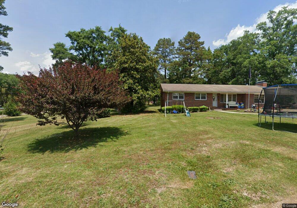
109 Tatum St Toccoa, GA 30577
Estimated Value: $82,545 - $171,000
2
Beds
1
Bath
816
Sq Ft
$170/Sq Ft
Est. Value
About This Home
This home is located at 109 Tatum St, Toccoa, GA 30577 and is currently estimated at $138,636, approximately $169 per square foot. 109 Tatum St is a home located in Stephens County with nearby schools including Stephens County High School.
Ownership History
Date
Name
Owned For
Owner Type
Purchase Details
Closed on
Jul 8, 2005
Sold by
Edmonds Dan
Bought by
Morgan Mark
Current Estimated Value
Home Financials for this Owner
Home Financials are based on the most recent Mortgage that was taken out on this home.
Original Mortgage
$17,000
Outstanding Balance
$8,647
Interest Rate
5.46%
Mortgage Type
New Conventional
Estimated Equity
$129,989
Purchase Details
Closed on
Jul 23, 1998
Sold by
Campbell Jessie E Estate
Bought by
Edmonds Dan
Purchase Details
Closed on
Aug 31, 1968
Sold by
Phillips Ralph T
Bought by
Edmonds Ollie
Purchase Details
Closed on
Aug 10, 1968
Sold by
Edmonds Ollie Mrs
Bought by
Campbell Jessie E
Create a Home Valuation Report for This Property
The Home Valuation Report is an in-depth analysis detailing your home's value as well as a comparison with similar homes in the area
Purchase History
| Date | Buyer | Sale Price | Title Company |
|---|---|---|---|
| Morgan Mark | $20,000 | -- | |
| Edmonds Dan | -- | -- | |
| Edmonds Ollie | -- | -- | |
| Campbell Jessie E | -- | -- |
Source: Public Records
Mortgage History
| Date | Status | Borrower | Loan Amount |
|---|---|---|---|
| Open | Morgan Mark | $17,000 |
Source: Public Records
Tax History
| Year | Tax Paid | Tax Assessment Tax Assessment Total Assessment is a certain percentage of the fair market value that is determined by local assessors to be the total taxable value of land and additions on the property. | Land | Improvement |
|---|---|---|---|---|
| 2025 | $366 | $13,339 | $1,351 | $11,988 |
| 2024 | $274 | $9,011 | $1,351 | $7,660 |
| 2023 | $250 | $8,395 | $1,351 | $7,044 |
| 2022 | $238 | $7,989 | $1,351 | $6,638 |
| 2021 | $222 | $7,101 | $1,351 | $5,750 |
| 2020 | $234 | $7,397 | $1,351 | $6,046 |
| 2019 | $235 | $7,397 | $1,351 | $6,046 |
| 2018 | $235 | $7,397 | $1,351 | $6,046 |
| 2017 | $238 | $7,397 | $1,351 | $6,046 |
| 2016 | $235 | $7,396 | $1,350 | $6,046 |
| 2015 | $253 | $7,630 | $1,350 | $6,280 |
| 2014 | $258 | $7,631 | $1,351 | $6,280 |
| 2013 | -- | $7,630 | $1,350 | $6,280 |
Source: Public Records
Map
Nearby Homes
- 2003 W Currahee St
- 69 Easy St
- 258 Persimmon St
- 168 Yearwood St
- 1241 W Currahee St
- 75 Cawthon Rd
- 48 Owen St
- 1037 S Pond St
- 98 Wood St
- 943 S Pond St
- 574 S Sage St
- 120 S Pine St
- 288 S Broad St
- 151 Richardson St
- 808 Cawthon Rd
- 198 S Broad St
- 481 W Currahee St
- 500 S Pond St
- 478 S Pond St
- 53 Cole Manor Dr
Your Personal Tour Guide
Ask me questions while you tour the home.