109 Tomahawk Ct Unit 756 Mount Gilead, NC 27306
Estimated Value: $283,000 - $398,000
3
Beds
3
Baths
2,055
Sq Ft
$166/Sq Ft
Est. Value
About This Home
This home is located at 109 Tomahawk Ct Unit 756, Mount Gilead, NC 27306 and is currently estimated at $340,118, approximately $165 per square foot. 109 Tomahawk Ct Unit 756 is a home located in Montgomery County with nearby schools including Mount Gilead Elementary School and West Middle School.
Ownership History
Date
Name
Owned For
Owner Type
Purchase Details
Closed on
Oct 19, 2012
Sold by
Giannini Brianne and Mcanelly Ryan
Bought by
Haynie David and Haynie Tarie
Current Estimated Value
Home Financials for this Owner
Home Financials are based on the most recent Mortgage that was taken out on this home.
Original Mortgage
$115,000
Outstanding Balance
$19,886
Interest Rate
3.58%
Mortgage Type
Stand Alone Second
Estimated Equity
$320,232
Purchase Details
Closed on
Oct 1, 2011
Bought by
Haynie David and Haynie Tarie
Purchase Details
Closed on
Oct 4, 2007
Sold by
Federal National Mortgage Association
Bought by
Giannini Brianne
Home Financials for this Owner
Home Financials are based on the most recent Mortgage that was taken out on this home.
Original Mortgage
$164,825
Interest Rate
6.27%
Mortgage Type
New Conventional
Purchase Details
Closed on
Jan 17, 2007
Sold by
Rodgers James R and Rodgers Deann
Bought by
Fannie Mae
Create a Home Valuation Report for This Property
The Home Valuation Report is an in-depth analysis detailing your home's value as well as a comparison with similar homes in the area
Home Values in the Area
Average Home Value in this Area
Purchase History
| Date | Buyer | Sale Price | Title Company |
|---|---|---|---|
| Haynie David | $147,500 | None Available | |
| Haynie David | $147,500 | -- | |
| Giannini Brianne | -- | -- | |
| Fannie Mae | $159,812 | -- |
Source: Public Records
Mortgage History
| Date | Status | Borrower | Loan Amount |
|---|---|---|---|
| Open | Haynie David | $115,000 | |
| Previous Owner | Giannini Brianne | $164,825 |
Source: Public Records
Tax History Compared to Growth
Tax History
| Year | Tax Paid | Tax Assessment Tax Assessment Total Assessment is a certain percentage of the fair market value that is determined by local assessors to be the total taxable value of land and additions on the property. | Land | Improvement |
|---|---|---|---|---|
| 2025 | -- | $174,660 | $18,700 | $155,960 |
| 2024 | -- | $174,660 | $18,700 | $155,960 |
| 2023 | -- | $174,660 | $18,700 | $155,960 |
| 2022 | $0 | $174,660 | $18,700 | $155,960 |
| 2021 | $1,342 | $174,660 | $18,700 | $155,960 |
| 2020 | $1,348 | $174,660 | $18,700 | $155,960 |
| 2018 | $1,030 | $156,100 | $12,320 | $143,780 |
| 2017 | $1,283 | $156,100 | $12,320 | $143,780 |
| 2016 | $1,030 | $156,100 | $12,320 | $143,780 |
| 2015 | $952 | $156,100 | $0 | $0 |
| 2014 | $952 | $156,145 | $0 | $0 |
Source: Public Records
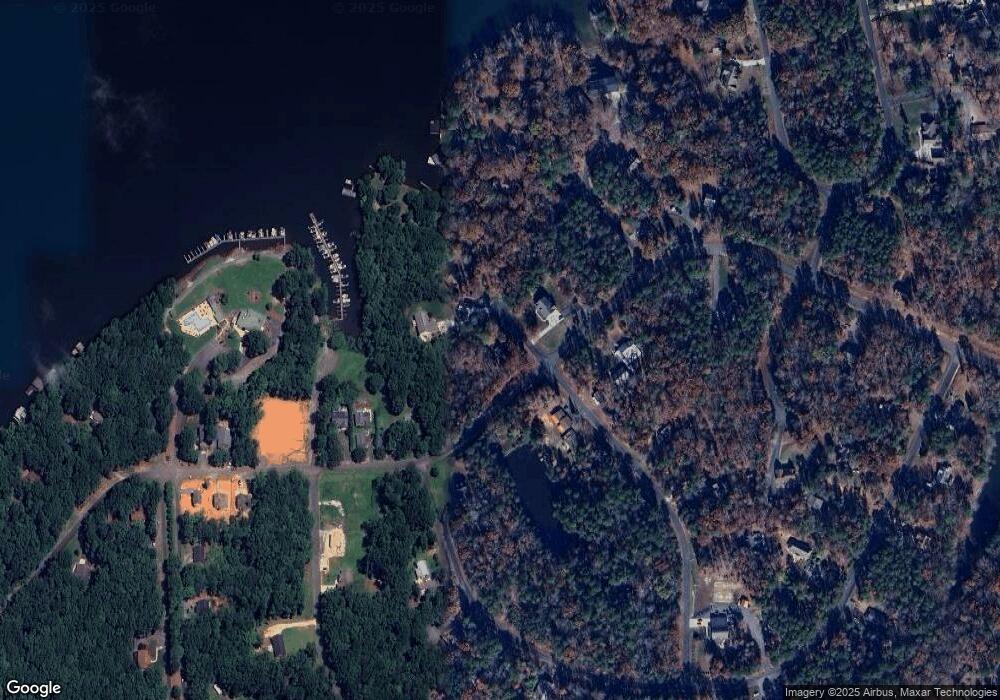
Map
Nearby Homes
- 210 Newport Dr
- 158 Pioneer Dr
- 248 Pioneer Dr
- 1923 Fairfield Rd
- 1025 Fairfield Rd
- 0 Woodrun Dr Unit CAR4263452
- 754 Woodrun Dr
- 188 Delwood Ct
- 204 Millwheel Ln
- 242 Creswell Rd
- 235 Millwheel Ln
- 338 Fairfield Ct
- 623 Roxboro Dr
- 589 Newport Dr
- 126 Abbey Ln
- 128 Arrowhead Ln
- 528 Manchester Rd
- 526 Manchester Rd
- 105 Red Oak Ct
- 237 Roxboro Dr
- 109 Tomahawk Ct
- 110 Tomahawk Ct
- 1312 Fairfield Rd
- 116 Tomahawk Ln Unit 941,942,9
- 1322 Fairfield Rd
- 121 Tomahawk Ct
- 120 Tomahawk Ct
- 122 Tomahawk Ct
- 127 Tomahawk Ln
- 121 Tomahawk Ln Unit 758
- 105 Pioneer Dr
- 130 Tomahawk Ln
- 130 Tomahawk Ln Unit 943
- 125 Muskett Ct
- 125 Musket Ct
- 133 Tomahawk Ln
- 131 Musket Ct Unit 770
- 131 Musket Ct
- 138 Tomahawk Ln
- 141 Tomahawk Ln