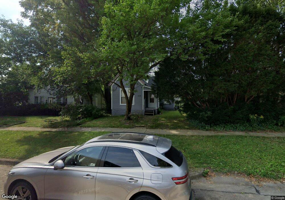
109 W Charles St Champaign, IL 61820
Clark NeighborhoodEstimated Value: $107,000 - $160,000
--
Bed
1
Bath
663
Sq Ft
$195/Sq Ft
Est. Value
About This Home
This home is located at 109 W Charles St, Champaign, IL 61820 and is currently estimated at $129,387, approximately $195 per square foot. 109 W Charles St is a home located in Champaign County with nearby schools including Central High School, Montessori Habitat School, and Holy Cross Elementary School.
Ownership History
Date
Name
Owned For
Owner Type
Purchase Details
Closed on
Dec 30, 2005
Sold by
Kellner Heidi L
Bought by
Moisson Daniel J
Current Estimated Value
Home Financials for this Owner
Home Financials are based on the most recent Mortgage that was taken out on this home.
Original Mortgage
$45,000
Outstanding Balance
$25,488
Interest Rate
6.4%
Mortgage Type
Fannie Mae Freddie Mac
Estimated Equity
$103,899
Create a Home Valuation Report for This Property
The Home Valuation Report is an in-depth analysis detailing your home's value as well as a comparison with similar homes in the area
Home Values in the Area
Average Home Value in this Area
Purchase History
| Date | Buyer | Sale Price | Title Company |
|---|---|---|---|
| Moisson Daniel J | $60,000 | None Available |
Source: Public Records
Mortgage History
| Date | Status | Borrower | Loan Amount |
|---|---|---|---|
| Open | Moisson Daniel J | $45,000 |
Source: Public Records
Tax History Compared to Growth
Tax History
| Year | Tax Paid | Tax Assessment Tax Assessment Total Assessment is a certain percentage of the fair market value that is determined by local assessors to be the total taxable value of land and additions on the property. | Land | Improvement |
|---|---|---|---|---|
| 2024 | $2,305 | $28,070 | $9,050 | $19,020 |
| 2023 | $2,305 | $25,560 | $8,240 | $17,320 |
| 2022 | $2,168 | $23,580 | $7,600 | $15,980 |
| 2021 | $2,117 | $23,120 | $7,450 | $15,670 |
| 2020 | $2,037 | $22,220 | $7,160 | $15,060 |
| 2019 | $1,428 | $21,760 | $7,010 | $14,750 |
| 2018 | $1,927 | $21,420 | $6,900 | $14,520 |
| 2017 | $1,318 | $20,590 | $6,630 | $13,960 |
| 2016 | $1,668 | $20,160 | $6,490 | $13,670 |
| 2015 | $1,680 | $19,800 | $6,370 | $13,430 |
| 2014 | $1,666 | $19,800 | $6,370 | $13,430 |
| 2013 | $1,651 | $19,800 | $6,370 | $13,430 |
Source: Public Records
Map
Nearby Homes
- 703 S Randolph St
- 207 W John St
- 904 S Elm Blvd
- 1007 S Locust St
- 508 Haines Blvd
- 611 S Lynn St
- 606 W Springfield Ave
- 617 W Springfield Ave
- 812 Dodds Dr
- 305 W University Ave Unit 4
- 811 Hamilton Dr
- 21 Greencroft Dr
- 32 Greencroft Dr
- 7 Greencroft Dr
- 301 N Neil St Unit 808-809
- 301 N Neil St Unit 702
- 301 N Neil St Unit 606
- 301 N Neil St Unit 909
- 909 W Union St
- 305 N Prairie St Unit 7
- 109 1/2 W Charles St
- 107 W Charles St
- 111 W Charles St
- 110 W Stanage Ave
- 112 W Stanage Ave
- 910 S Randolph St
- 808 S Randolph St
- 108 W Charles St
- 201 W Charles St
- 905 S Neil St
- 905 S Neil St Unit D
- 905 S Neil St Unit E-F
- 806 S Randolph St
- 806 S Randolph St Unit 4
- 901 S Neil St
- 202 W Stanage Ave
- 203 W Charles St
- 807 S Randolph St
- 204 W Stanage Ave
- 114 W Stanage Ave