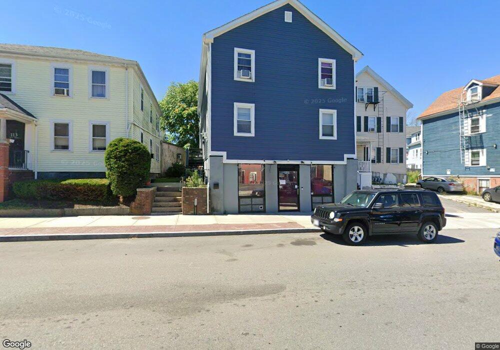
109 Weir St Unit 1 Taunton, MA 02780
City Center NeighborhoodEstimated Value: $463,006
--
Bed
1
Bath
945
Sq Ft
$490/Sq Ft
Est. Value
About This Home
This home is located at 109 Weir St Unit 1, Taunton, MA 02780 and is currently estimated at $463,006, approximately $489 per square foot. 109 Weir St Unit 1 is a home located in Bristol County with nearby schools including Elizabeth Pole School, Taunton High School, and John F. Parker Middle School.
Ownership History
Date
Name
Owned For
Owner Type
Purchase Details
Closed on
Sep 25, 2008
Sold by
Weir St 107-109 Rt and Butts
Bought by
Wisnewski Kenneth P
Current Estimated Value
Home Financials for this Owner
Home Financials are based on the most recent Mortgage that was taken out on this home.
Original Mortgage
$171,200
Outstanding Balance
$113,679
Interest Rate
6.57%
Mortgage Type
Commercial
Estimated Equity
$349,327
Purchase Details
Closed on
Oct 31, 1990
Sold by
Rockland Cu
Bought by
Harris Nicholas C
Home Financials for this Owner
Home Financials are based on the most recent Mortgage that was taken out on this home.
Original Mortgage
$165,000
Interest Rate
10.07%
Mortgage Type
Commercial
Purchase Details
Closed on
Nov 6, 1989
Sold by
Shawmut Mtg Co
Bought by
Rockland Fed Cr Un
Create a Home Valuation Report for This Property
The Home Valuation Report is an in-depth analysis detailing your home's value as well as a comparison with similar homes in the area
Home Values in the Area
Average Home Value in this Area
Purchase History
| Date | Buyer | Sale Price | Title Company |
|---|---|---|---|
| Wisnewski Kenneth P | $214,000 | -- | |
| Wisnewski Kenneth P | $214,000 | -- | |
| Harris Nicholas C | $165,000 | -- | |
| Harris Nicholas C | $165,000 | -- | |
| Rockland Fed Cr Un | $166,500 | -- | |
| Rockland Fed Cr Un | $166,500 | -- |
Source: Public Records
Mortgage History
| Date | Status | Borrower | Loan Amount |
|---|---|---|---|
| Open | Wisnewski Kenneth P | $171,200 | |
| Closed | Rockland Fed Cr Un | $171,200 | |
| Previous Owner | Rockland Fed Cr Un | $205,000 | |
| Previous Owner | Rockland Fed Cr Un | $165,000 |
Source: Public Records
Tax History Compared to Growth
Tax History
| Year | Tax Paid | Tax Assessment Tax Assessment Total Assessment is a certain percentage of the fair market value that is determined by local assessors to be the total taxable value of land and additions on the property. | Land | Improvement |
|---|---|---|---|---|
| 2025 | -- | $351,600 | $71,300 | $280,300 |
| 2024 | -- | $351,600 | $71,300 | $280,300 |
| 2023 | $0 | $299,700 | $71,300 | $228,400 |
| 2022 | $0 | $236,600 | $66,300 | $170,300 |
| 2021 | $0 | $216,200 | $66,300 | $149,900 |
| 2020 | $0 | $188,300 | $57,500 | $130,800 |
| 2019 | $0 | $166,400 | $56,000 | $110,400 |
| 2018 | $0 | $161,900 | $54,200 | $107,700 |
| 2017 | $0 | $167,800 | $53,700 | $114,100 |
| 2016 | -- | $164,500 | $53,700 | $110,800 |
| 2015 | -- | $160,900 | $59,800 | $101,100 |
| 2014 | -- | $162,500 | $59,800 | $102,700 |
Source: Public Records
Map
Nearby Homes
- 0, M64 L51 Knapp St
- 0 M64 L39 Knapp St
- 0, M64 L49 Knapp St
- 0, M64 L50 Knapp St
- 48 Taunton Green
- 46 Harrison St Unit 4
- 215 High St Unit 21
- 215 High St Unit 20
- 16 Clinton St
- 31 Church Green Unit 303
- 12 Chestnut St Unit A
- 19 Mason St
- 278 Cohannet St
- 5 Dean Ave
- 98 Winthrop St
- 6 W Summer St
- 72 Barnum St
- 48 Oak St
- 39 Myrtle St
- 132 Winthrop St