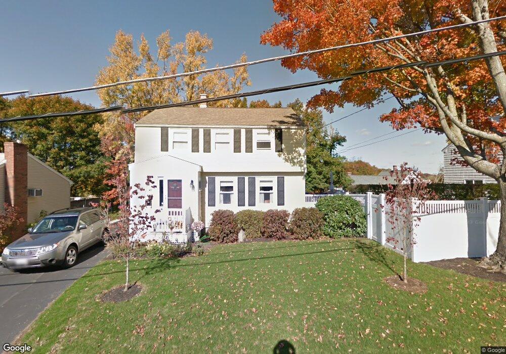
109 Wendell St Winchester, MA 01890
Estimated Value: $1,111,000 - $1,223,000
3
Beds
2
Baths
1,323
Sq Ft
$881/Sq Ft
Est. Value
About This Home
This home is located at 109 Wendell St, Winchester, MA 01890 and is currently estimated at $1,165,391, approximately $880 per square foot. 109 Wendell St is a home located in Middlesex County with nearby schools including Lynch Elementary School, McCall Middle School, and Winchester High School.
Ownership History
Date
Name
Owned For
Owner Type
Purchase Details
Closed on
May 22, 2008
Sold by
Dunleavy James and Dunleavy Toni
Bought by
Swallow Alison H and Swallow David G
Current Estimated Value
Home Financials for this Owner
Home Financials are based on the most recent Mortgage that was taken out on this home.
Original Mortgage
$417,000
Outstanding Balance
$264,912
Interest Rate
5.94%
Mortgage Type
Purchase Money Mortgage
Estimated Equity
$900,479
Purchase Details
Closed on
Aug 2, 2006
Sold by
Costello Gerard J
Bought by
Dunleavy James and Dunleavy Toni
Home Financials for this Owner
Home Financials are based on the most recent Mortgage that was taken out on this home.
Original Mortgage
$300,000
Interest Rate
6.7%
Mortgage Type
Purchase Money Mortgage
Create a Home Valuation Report for This Property
The Home Valuation Report is an in-depth analysis detailing your home's value as well as a comparison with similar homes in the area
Home Values in the Area
Average Home Value in this Area
Purchase History
| Date | Buyer | Sale Price | Title Company |
|---|---|---|---|
| Swallow Alison H | $495,000 | -- | |
| Dunleavy James | $375,000 | -- |
Source: Public Records
Mortgage History
| Date | Status | Borrower | Loan Amount |
|---|---|---|---|
| Open | Swallow Alison H | $417,000 | |
| Previous Owner | Dunleavy James | $300,000 |
Source: Public Records
Tax History Compared to Growth
Tax History
| Year | Tax Paid | Tax Assessment Tax Assessment Total Assessment is a certain percentage of the fair market value that is determined by local assessors to be the total taxable value of land and additions on the property. | Land | Improvement |
|---|---|---|---|---|
| 2025 | $114 | $1,026,400 | $561,800 | $464,600 |
| 2024 | $11,287 | $996,200 | $561,800 | $434,400 |
| 2023 | $10,956 | $928,500 | $515,000 | $413,500 |
| 2022 | $9,805 | $783,800 | $390,200 | $393,600 |
| 2021 | $9,956 | $776,000 | $382,400 | $393,600 |
| 2020 | $9,615 | $776,000 | $382,400 | $393,600 |
| 2019 | $8,640 | $713,500 | $319,900 | $393,600 |
| 2018 | $13,562 | $688,000 | $304,300 | $383,700 |
| 2017 | $3,582 | $640,000 | $288,700 | $351,300 |
| 2016 | $7,363 | $630,400 | $288,700 | $341,700 |
| 2015 | $6,990 | $575,800 | $261,400 | $314,400 |
| 2014 | $6,731 | $531,700 | $226,300 | $305,400 |
Source: Public Records
Map
Nearby Homes
- 14 Cross St
- 29 Shepard Ct
- 44 Main St
- 20 Arthur St
- 237 Swanton St
- 2 George Rd Unit 2
- 171 Swanton St Unit 73
- 62 Richardson St
- 149 Horn Pond Brook Rd
- 14 Ash St
- 61 Mount Pleasant St
- 200 Swanton St Unit 228
- 200 Swanton St Unit 636
- 200 Swanton St Unit 234
- 200 Swanton St Unit T28
- 95 Irving St
- 64 Garfield Ave
- 9 Norfolk Rd
- 32 Woodside Rd
- 18 Raymond Place