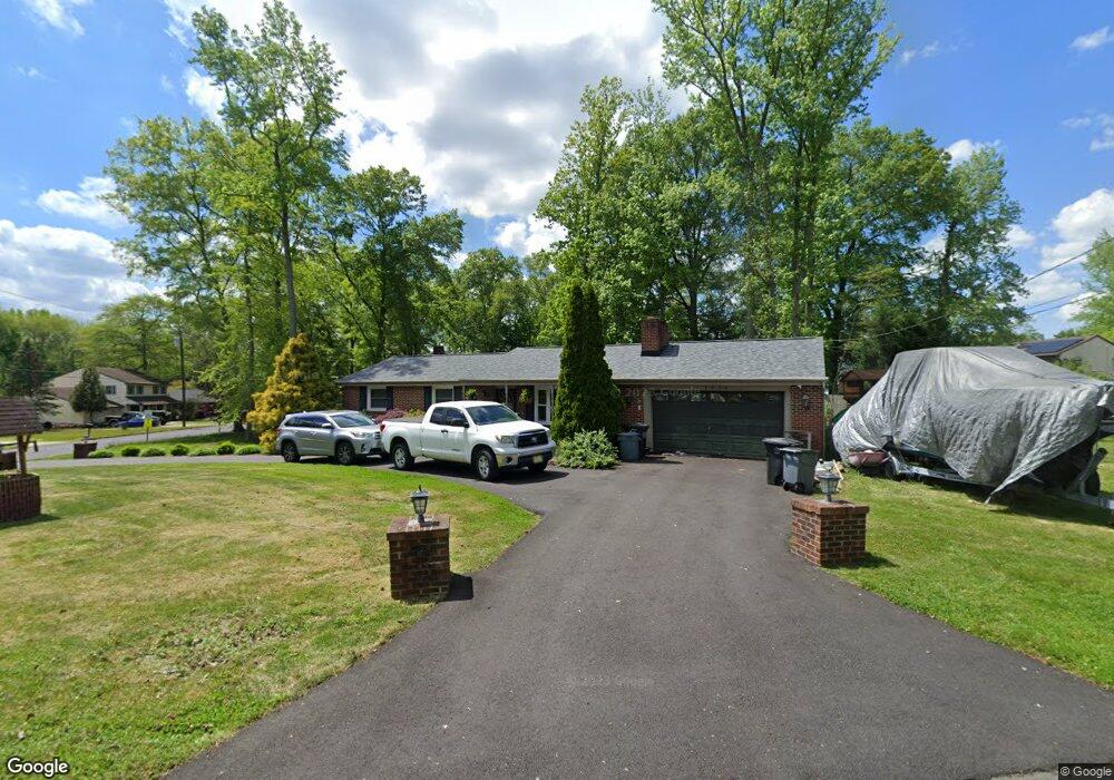
1090 Bennett Dr Woodbury, NJ 08096
Deptford Township NeighborhoodEstimated Value: $297,799 - $340,000
3
Beds
2
Baths
1,056
Sq Ft
$302/Sq Ft
Est. Value
About This Home
This home is located at 1090 Bennett Dr, Woodbury, NJ 08096 and is currently estimated at $318,450, approximately $301 per square foot. 1090 Bennett Dr is a home located in Gloucester County with nearby schools including Deptford Township High School and Holy Angels Catholic School.
Ownership History
Date
Name
Owned For
Owner Type
Purchase Details
Closed on
Jun 24, 2017
Sold by
Teasdale Michael
Bought by
Teasdale Michael and Teasdale Kristen
Current Estimated Value
Home Financials for this Owner
Home Financials are based on the most recent Mortgage that was taken out on this home.
Original Mortgage
$157,800
Outstanding Balance
$130,968
Interest Rate
3.94%
Mortgage Type
New Conventional
Estimated Equity
$187,482
Purchase Details
Closed on
May 21, 2010
Sold by
Equicredit Corporation Of America
Bought by
Teasdale Michael
Home Financials for this Owner
Home Financials are based on the most recent Mortgage that was taken out on this home.
Original Mortgage
$173,661
Interest Rate
5.13%
Mortgage Type
FHA
Purchase Details
Closed on
Jul 15, 2009
Sold by
Kile Thomas P and Kile Michele A
Bought by
Equicredit Corporation Of America Or Nat
Create a Home Valuation Report for This Property
The Home Valuation Report is an in-depth analysis detailing your home's value as well as a comparison with similar homes in the area
Home Values in the Area
Average Home Value in this Area
Purchase History
| Date | Buyer | Sale Price | Title Company |
|---|---|---|---|
| Teasdale Michael | -- | None Available | |
| Teasdale Michael | $176,000 | Lawyers Title Insurance Corp | |
| Equicredit Corporation Of America Or Nat | -- | First American Title Ins Co |
Source: Public Records
Mortgage History
| Date | Status | Borrower | Loan Amount |
|---|---|---|---|
| Open | Teasdale Michael | $157,800 | |
| Closed | Teasdale Michael | $173,661 |
Source: Public Records
Tax History Compared to Growth
Tax History
| Year | Tax Paid | Tax Assessment Tax Assessment Total Assessment is a certain percentage of the fair market value that is determined by local assessors to be the total taxable value of land and additions on the property. | Land | Improvement |
|---|---|---|---|---|
| 2025 | $5,589 | $155,900 | $44,700 | $111,200 |
| 2024 | $5,410 | $155,900 | $44,700 | $111,200 |
| 2023 | $5,410 | $155,900 | $44,700 | $111,200 |
| 2022 | $5,371 | $155,900 | $44,700 | $111,200 |
| 2021 | $5,294 | $155,900 | $44,700 | $111,200 |
| 2020 | $5,234 | $155,900 | $44,700 | $111,200 |
| 2019 | $5,134 | $155,900 | $44,700 | $111,200 |
| 2018 | $5,018 | $155,900 | $44,700 | $111,200 |
| 2017 | $4,884 | $155,900 | $44,700 | $111,200 |
| 2016 | $4,785 | $155,900 | $44,700 | $111,200 |
| 2015 | $4,636 | $155,900 | $44,700 | $111,200 |
| 2014 | $4,516 | $155,900 | $44,700 | $111,200 |
Source: Public Records
Map
Nearby Homes
- 1573 Delsea Dr
- 106 Shelly Ln
- 133 Hampshire Dr
- 1106 Cumberland Ave
- 1002 Cumberland Ave
- 1209 Cooper St
- 230 Hampshire Dr
- 951 New Jersey Ave
- 1672 Cooper St
- 1232 Cooper St
- 14 Laurel Ct
- 924 Virginia Ave
- 1879 Delsea Dr
- 1554 Good Intent Rd
- 114 Carnation Dr
- BL 129 LT 8 10-20 Buffalo Ct
- 807 Buffalo Ct
- 129 Williams Ave
- 418 Dogwood Dr
- 805 Cattell Rd
- 1080 Bennett Dr
- 474 Eli Place
- 1091 Lindberg Dr
- 1087 Lindberg Dr
- 1070 Bennett Dr
- 1105 Lindberg Dr
- 1091 Bennett Dr
- 1116 Bennett Dr
- 1081 Bennett Dr
- 1069 Lindberg Dr
- 0 Eli Place
- 1115 Lindberg Dr
- 1105 Bennett Dr
- 1071 Bennett Dr
- 1111 Bennett Dr
- 1060 Bennett Dr
- 1059 Lindberg Dr
- 1128 Bennett Dr
- 1090 Lindberg Dr
- 1061 Bennett Dr