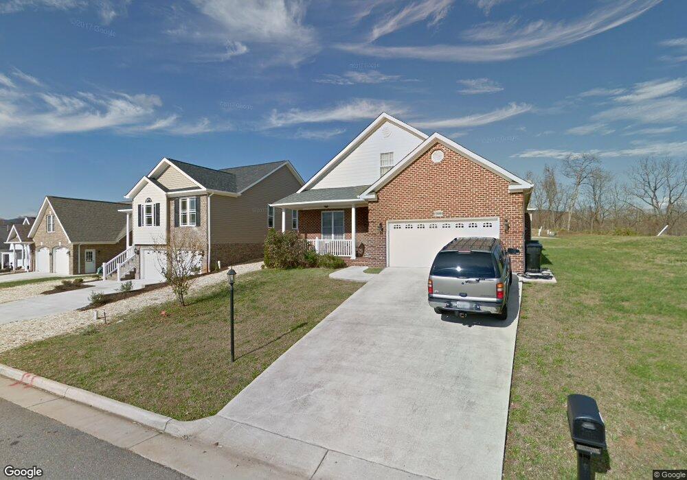
1090 Bolejack Blvd Roanoke, VA 24019
Estimated Value: $446,000 - $556,000
3
Beds
3
Baths
2,208
Sq Ft
$220/Sq Ft
Est. Value
About This Home
This home is located at 1090 Bolejack Blvd, Roanoke, VA 24019 and is currently estimated at $486,536, approximately $220 per square foot. 1090 Bolejack Blvd is a home located in Roanoke County with nearby schools including Mountain View Elementary School, Northside Middle School, and Northside High School.
Ownership History
Date
Name
Owned For
Owner Type
Purchase Details
Closed on
May 17, 2011
Sold by
Compton Development Llc
Bought by
Gibson Roger D and Gibson Karie L
Current Estimated Value
Purchase Details
Closed on
May 3, 2010
Sold by
Compton Development Llc
Bought by
Gibson Roger D and Gibson Karie R
Home Financials for this Owner
Home Financials are based on the most recent Mortgage that was taken out on this home.
Original Mortgage
$292,000
Interest Rate
5.25%
Mortgage Type
New Conventional
Create a Home Valuation Report for This Property
The Home Valuation Report is an in-depth analysis detailing your home's value as well as a comparison with similar homes in the area
Purchase History
| Date | Buyer | Sale Price | Title Company |
|---|---|---|---|
| Gibson Roger D | $60,000 | First American Title Ins | |
| Gibson Roger D | $65,000 | None Available |
Source: Public Records
Mortgage History
| Date | Status | Borrower | Loan Amount |
|---|---|---|---|
| Previous Owner | Gibson Roger D | $292,000 |
Source: Public Records
Tax History
| Year | Tax Paid | Tax Assessment Tax Assessment Total Assessment is a certain percentage of the fair market value that is determined by local assessors to be the total taxable value of land and additions on the property. | Land | Improvement |
|---|---|---|---|---|
| 2025 | $5,026 | $488,000 | $79,200 | $408,800 |
| 2024 | $4,724 | $454,200 | $76,800 | $377,400 |
| 2023 | $4,449 | $419,700 | $72,000 | $347,700 |
| 2022 | $4,177 | $383,200 | $67,200 | $316,000 |
| 2021 | $3,956 | $362,900 | $60,000 | $302,900 |
| 2020 | $3,891 | $357,000 | $60,000 | $297,000 |
| 2019 | $3,794 | $348,100 | $60,000 | $288,100 |
| 2018 | $3,982 | $355,100 | $60,000 | $295,100 |
| 2017 | $3,982 | $365,300 | $60,000 | $305,300 |
| 2016 | $3,958 | $363,100 | $60,000 | $303,100 |
| 2015 | $3,958 | $363,100 | $60,000 | $303,100 |
| 2014 | $3,929 | $360,500 | $60,000 | $300,500 |
Source: Public Records
Map
Nearby Homes
- 825 Harmon Cir
- 901 Samantha Cir
- 626 Santee Rd
- 5339 Endicott St
- 531 Water Oak Rd
- 1196 Cardiff Ct
- 5923 Village Ln
- 1152 Cardiff Ct
- 5570 Meadowcrest St
- 5957 Plantation Rd
- 5644 Meadowcrest St
- 734 S Battery Dr
- 5333 Oakland Blvd
- 6836 Trevilian Rd
- 475 Elden Ave
- 901 Walhalla Ct
- 4753 Long Acre Dr NE
- 163 Tampa Dr
- 4809 Nelms Ln NE
- 169 Tampa Dr
- 930 Harmon Cir
- 934 Harmon Cir
- 1014 Stokes Dr
- 926 Harmon Cir
- 938 Harmon Cir
- 1085 Bolejack Blvd
- 1028 Stokes Dr
- 1073 Bolejack Blvd
- 1040 Stokes Dr
- 1052 Bolejack Blvd
- 942 Harmon Cir
- 922 Harmon Cir
- 1061 Bolejack Blvd
- 1052 Stokes Dr
- 1049 Bolejack Blvd
- 1072 Stokes Dr
- 918 Harmon Cir
- 931 Harmon Cir
- 937 Harmon Cir
- 1025 Stokes Dr
Your Personal Tour Guide
Ask me questions while you tour the home.