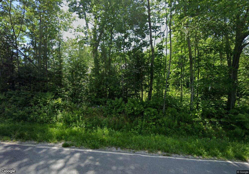
1090 Cape Jellison Rd Stockton Springs, ME 04981
Estimated Value: $265,000 - $406,000
3
Beds
1
Bath
1,152
Sq Ft
$276/Sq Ft
Est. Value
About This Home
This home is located at 1090 Cape Jellison Rd, Stockton Springs, ME 04981 and is currently estimated at $318,291, approximately $276 per square foot. 1090 Cape Jellison Rd is a home.
Ownership History
Date
Name
Owned For
Owner Type
Purchase Details
Closed on
Sep 5, 2024
Sold by
Broadley Dorothy
Bought by
Broadley Deborah J
Current Estimated Value
Purchase Details
Closed on
Aug 27, 2024
Sold by
Candeias Karen
Bought by
Broadley Dorothy
Purchase Details
Closed on
Jul 31, 2024
Sold by
Broadley Graham
Bought by
Broadley Dorothy
Create a Home Valuation Report for This Property
The Home Valuation Report is an in-depth analysis detailing your home's value as well as a comparison with similar homes in the area
Home Values in the Area
Average Home Value in this Area
Purchase History
| Date | Buyer | Sale Price | Title Company |
|---|---|---|---|
| Broadley Deborah J | -- | None Available | |
| Broadley Deborah J | -- | None Available | |
| Broadley Dorothy | -- | None Available | |
| Broadley Dorothy | -- | None Available | |
| Broadley Dorothy | -- | None Available | |
| Broadley Dorothy | -- | None Available |
Source: Public Records
Tax History Compared to Growth
Tax History
| Year | Tax Paid | Tax Assessment Tax Assessment Total Assessment is a certain percentage of the fair market value that is determined by local assessors to be the total taxable value of land and additions on the property. | Land | Improvement |
|---|---|---|---|---|
| 2024 | $2,745 | $165,350 | $33,970 | $131,380 |
| 2023 | $2,319 | $104,470 | $33,970 | $70,500 |
| 2022 | $2,150 | $105,370 | $33,970 | $71,400 |
| 2021 | $2,139 | $105,370 | $33,970 | $71,400 |
| 2020 | $2,189 | $106,270 | $33,970 | $72,300 |
| 2019 | $2,157 | $106,270 | $33,970 | $72,300 |
| 2018 | $2,186 | $108,200 | $35,000 | $73,200 |
| 2017 | $2,218 | $108,200 | $35,000 | $73,200 |
| 2016 | $2,138 | $109,100 | $35,000 | $74,100 |
| 2015 | $2,067 | $109,100 | $35,000 | $74,100 |
| 2014 | $1,756 | $91,200 | $28,860 | $62,340 |
| 2013 | $1,642 | $91,200 | $28,860 | $62,340 |
Source: Public Records
Map
Nearby Homes
- 40 Loon Landing
- Lot #7 Cape Jellison Rd
- 26 Heights Rd
- 49 Fort Point Cove Rd
- 7 Winchester Way
- 96 Pirates Cove Rd
- 62 Harborview Dr
- 8 Clipper Ln
- Lot 157 Denslow Rd
- 45 Harborview Dr
- 770 Cape Jellison Rd
- 271 U S Route 1
- 25 School St
- 270 Main St
- 10 Church St
- 38 Osprey Reach Rd
- 95 Osprey Reach Rd
- 38 Church St
- 40 Church St
- 115 Rd
- 1089 Cape Jellison Rd
- 1081 Cape Jellison Rd
- 5 Robbins Rd
- 21 Robbins Rd
- 003 Cape Jellison Rd
- 1072 Cape Jellison Rd
- 29 Robbins Rd
- 1061 Cape Jellison Rd
- 1057 Cape Jellison Rd
- 1054 Cape Jellison Rd
- 1136 Cape Jellison Rd
- 1137 Cape Jellison Rd
- 1139 Cape Jellison Rd
- 1046 Cape Jellison
- 1044 Cape Jellison Rd
- 1041 Cape Jellison Rd
- 1150 Cape Jellison Rd
- 1118 Cape Jellison Rd
- lot 205 Cape Jellison Rd
- 1035 Cape Jellison Rd
