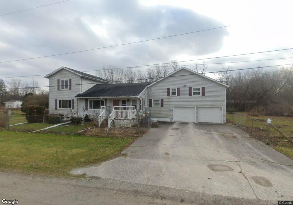
1090 Doerr St Saginaw, MI 48601
Estimated Value: $79,000 - $193,000
4
Beds
2
Baths
2,620
Sq Ft
$62/Sq Ft
Est. Value
About This Home
This home is located at 1090 Doerr St, Saginaw, MI 48601 and is currently estimated at $163,156, approximately $62 per square foot. 1090 Doerr St is a home located in Saginaw County with nearby schools including Thomas White School, Martin G. Atkins Elementary School, and Bridgeport High School.
Ownership History
Date
Name
Owned For
Owner Type
Purchase Details
Closed on
Jul 17, 2009
Sold by
Wolfgram Caroline and Wolfgram Orval F
Bought by
Wolfgram Caroline
Current Estimated Value
Purchase Details
Closed on
Jun 26, 2009
Sold by
Wolfgram Caroline and Wolfgram Orval
Bought by
Wolfgram Caroline
Purchase Details
Closed on
Feb 14, 1942
Sold by
Sundbom Chester A and Sundbom Cora
Bought by
Wolfgram Orval and Wolfgram Caroline
Purchase Details
Closed on
Aug 12, 1937
Sold by
Doerr Mrs Joseph A
Bought by
Wolfgram Orval E and Wolfgram Caroline
Purchase Details
Closed on
Jul 22, 1937
Sold by
Doerr Joseph A and Doerr Mary
Bought by
Wolfgram Orval E and Wolfgram Caroline
Create a Home Valuation Report for This Property
The Home Valuation Report is an in-depth analysis detailing your home's value as well as a comparison with similar homes in the area
Home Values in the Area
Average Home Value in this Area
Purchase History
| Date | Buyer | Sale Price | Title Company |
|---|---|---|---|
| Wolfgram Caroline | -- | -- | |
| Wolfgram Caroline | -- | -- | |
| Wolfgram Orval | -- | -- | |
| Wolfgram Orval E | -- | -- | |
| Wolfgram Orval E | -- | -- |
Source: Public Records
Tax History Compared to Growth
Tax History
| Year | Tax Paid | Tax Assessment Tax Assessment Total Assessment is a certain percentage of the fair market value that is determined by local assessors to be the total taxable value of land and additions on the property. | Land | Improvement |
|---|---|---|---|---|
| 2025 | $2,285 | $74,000 | $0 | $0 |
| 2024 | $591 | $66,300 | $0 | $0 |
| 2023 | $563 | $57,000 | $0 | $0 |
| 2022 | $1,926 | $49,500 | $0 | $0 |
| 2021 | $1,771 | $47,400 | $0 | $0 |
| 2020 | $1,723 | $46,700 | $0 | $0 |
| 2019 | $1,656 | $46,400 | $3,900 | $42,500 |
| 2018 | $499 | $45,500 | $0 | $0 |
| 2017 | $1,541 | $45,800 | $0 | $0 |
| 2016 | $1,694 | $46,400 | $0 | $0 |
| 2014 | -- | $45,400 | $0 | $40,900 |
| 2013 | -- | $46,100 | $0 | $0 |
Source: Public Records
Map
Nearby Homes
- 2105 Williamson Rd
- 2626 Hampshire St
- 3131 Parkwood Ave
- 3143 Walters Dr
- 3012 Walters Dr
- 2928 Walters Dr
- 2420 Lynnwood Ave
- 2723 Owen St
- 2416 Lynnwood Ave
- 2411 Beechwood Ave
- 2610 S Jefferson Ave
- 3105 Beulah St
- 2401 Lowell Ave
- 2126 Maplewood Ave
- 2420 S Jefferson Ave
- 3315 S Washington Ave
- 0 Randolph St
- 2206 Robinwood Ave
- 3706 Olive St
- 2108 California Ave
- 1070 Doerr St
- 1120 Doerr St
- 1121 Doerr St
- 3440 Sheridan Ave
- 1100 Treanor St
- 1128 Treanor St
- 1144 Doerr St
- 1143 Doerr St
- 3418 Sheridan Ave
- 1150 Treanor St
- 2155 Williamson Rd
- 2165 Williamson Rd
- 2414 Hampshire St
- 2171 Williamson Rd
- 2318 Hampshire St
- 2402 Hampshire St
- 2420 Hampshire St
- 2408 Hampshire St
- 2500 Hampshire St
- 3465 Sheridan Ave