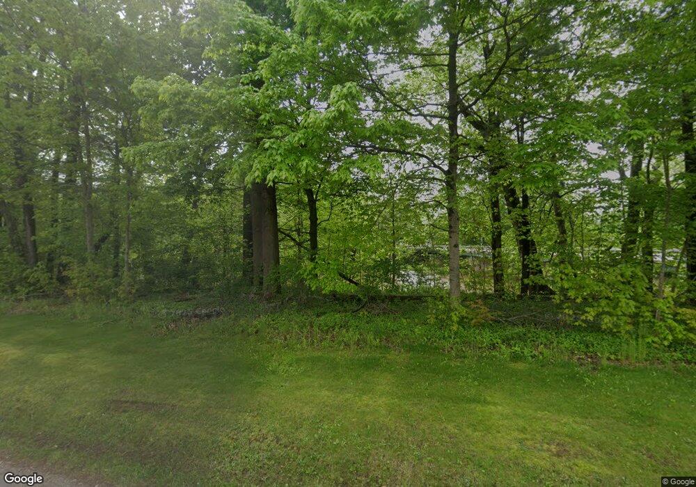
1090 E State Rd Newcomerstown, OH 43832
Estimated Value: $83,000
Studio
--
Bath
--
Sq Ft
1.14
Acres
About This Home
This home is located at 1090 E State Rd, Newcomerstown, OH 43832 and is currently estimated at $83,000. 1090 E State Rd is a home located in Tuscarawas County with nearby schools including West Elementary School, East Elementary School, and Newcomerstown Middle School.
Ownership History
Date
Name
Owned For
Owner Type
Purchase Details
Closed on
May 27, 2005
Sold by
Cavender Donna J
Bought by
Newcomerstown Progress Corp
Current Estimated Value
Purchase Details
Closed on
Jul 24, 2002
Sold by
Zimmer Albert L
Bought by
Cavender Steve C and Cavender Donna J
Home Financials for this Owner
Home Financials are based on the most recent Mortgage that was taken out on this home.
Original Mortgage
$70,320
Interest Rate
6.8%
Mortgage Type
New Conventional
Purchase Details
Closed on
Dec 15, 1993
Sold by
Craig Lois Z and Craig Marian Z
Bought by
Craig Marian Z
Create a Home Valuation Report for This Property
The Home Valuation Report is an in-depth analysis detailing your home's value as well as a comparison with similar homes in the area
Home Values in the Area
Average Home Value in this Area
Purchase History
| Date | Buyer | Sale Price | Title Company |
|---|---|---|---|
| Newcomerstown Progress Corp | $180,000 | -- | |
| Cavender Steve C | $87,900 | -- | |
| Craig Marian Z | -- | -- |
Source: Public Records
Mortgage History
| Date | Status | Borrower | Loan Amount |
|---|---|---|---|
| Previous Owner | Cavender Steve C | $70,320 |
Source: Public Records
Tax History Compared to Growth
Tax History
| Year | Tax Paid | Tax Assessment Tax Assessment Total Assessment is a certain percentage of the fair market value that is determined by local assessors to be the total taxable value of land and additions on the property. | Land | Improvement |
|---|---|---|---|---|
| 2024 | $46 | $900 | $900 | -- |
| 2023 | $46 | $2,570 | $2,570 | $0 |
| 2022 | $48 | $900 | $900 | $0 |
| 2021 | $134 | $2,366 | $2,366 | $0 |
| 2020 | $136 | $2,366 | $2,366 | $0 |
| 2019 | $138 | $2,366 | $2,366 | $0 |
| 2018 | $137 | $2,370 | $2,370 | $0 |
| 2017 | $136 | $2,370 | $2,370 | $0 |
| 2016 | $145 | $2,640 | $2,640 | $0 |
| 2014 | $253 | $4,410 | $4,410 | $0 |
| 2013 | $258 | $4,410 | $4,410 | $0 |
Source: Public Records
Map
Nearby Homes
- 145 Chapman Ave
- 518 Riverview Dr
- 346 N Bridge St
- 346 W State St
- 298 Mckinley Ave
- 6400 Kings Ridge Rd
- 598 Beech St
- 60883 U S 36
- 950 Beech St
- 4980 Beagle Club Rd
- 60570 Township Road 104
- 60140 Everals Church Rd
- 5619 Post Boy Rd
- 5415 Post Boy Rd
- 25495 County Road 103
- 3200 Centenary Hill Rd SW
- 0 Cr-103
- 16691 Dog Rd
- 5039 Prider Rd
- 0 Ohio 751
- 0 State Route 258 Unit 3167019
- 0 State Route 258 Unit 3167013
- 0 State Route 258 Unit 3167011
- 0 State Route 258 Unit 4115653
- 0 Ohio 258
- 1200 E State Rd
- 312 Pilling St
- 306 Pilling St
- 321 Smith St
- 647 Maple St
- 6318 E State Rd
- 696 Maple St
- 1066 E State St
- 666 Maple St
- 14392 Delaware Rd SW
- 645 Maple St
- 6298 E State Rd
- 328 Smith St
- 340 Smith St
- 640 Maple St
