Estimated Value: $264,000 - $352,000
--
Bed
2
Baths
1,092
Sq Ft
$292/Sq Ft
Est. Value
About This Home
This home is located at 1090 Fort Sill Trail, Lusby, MD 20657 and is currently estimated at $319,343, approximately $292 per square foot. 1090 Fort Sill Trail is a home located in Calvert County with nearby schools including Patuxent Appeal Elementary Campus, Mill Creek Middle School, and Patuxent High School.
Ownership History
Date
Name
Owned For
Owner Type
Purchase Details
Closed on
Oct 31, 2003
Sold by
Dale Mark S and Dale Brenda L
Bought by
Fedorkowicz Carl G and Fedorkowicz Bobbye L
Current Estimated Value
Purchase Details
Closed on
Apr 23, 1997
Sold by
Winston Corp
Bought by
Dale Mark S and Dale Brenda L
Purchase Details
Closed on
Jul 20, 1994
Sold by
Elgert G
Bought by
Winston Corp
Create a Home Valuation Report for This Property
The Home Valuation Report is an in-depth analysis detailing your home's value as well as a comparison with similar homes in the area
Home Values in the Area
Average Home Value in this Area
Purchase History
| Date | Buyer | Sale Price | Title Company |
|---|---|---|---|
| Fedorkowicz Carl G | $114,500 | -- | |
| Dale Mark S | $75,000 | -- | |
| Winston Corp | $8,000 | -- |
Source: Public Records
Mortgage History
| Date | Status | Borrower | Loan Amount |
|---|---|---|---|
| Closed | Dale Mark S | -- |
Source: Public Records
Tax History Compared to Growth
Tax History
| Year | Tax Paid | Tax Assessment Tax Assessment Total Assessment is a certain percentage of the fair market value that is determined by local assessors to be the total taxable value of land and additions on the property. | Land | Improvement |
|---|---|---|---|---|
| 2025 | $2,852 | $249,400 | $0 | $0 |
| 2024 | $2,852 | $224,300 | $0 | $0 |
| 2023 | $2,224 | $199,200 | $55,200 | $144,000 |
| 2022 | $2,003 | $192,800 | $0 | $0 |
| 2021 | $4,858 | $186,400 | $0 | $0 |
| 2020 | $2,299 | $180,000 | $55,200 | $124,800 |
| 2019 | $2,289 | $179,433 | $0 | $0 |
| 2018 | $651 | $178,867 | $0 | $0 |
| 2017 | $2,525 | $178,300 | $0 | $0 |
| 2016 | -- | $173,033 | $0 | $0 |
| 2015 | $2,209 | $167,767 | $0 | $0 |
| 2014 | $2,209 | $162,500 | $0 | $0 |
Source: Public Records
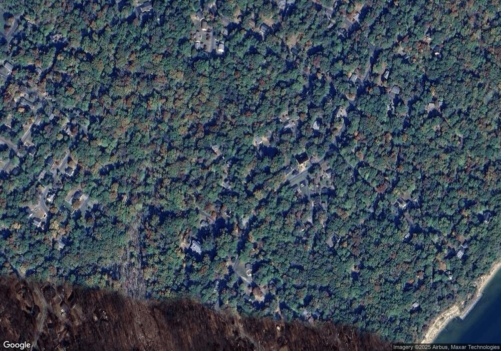
Map
Nearby Homes
- 1078 Fort Sill Trail
- 12439 Rimrock Ln
- 1114 Ranger Ridge Rd
- 12375 Algonquin Trail
- 1049 Golden Way W
- 980 Silverton Ct
- 1076 San Angelo Dr
- 12194 Catalina Dr
- 12501 San Jose Ct
- 12200 Bonanza Trail
- 463 Bronco Trail
- 12115 Tall Pine Trail
- 12447 El Segunda Ln
- 12407 Tahoe Ct
- 12284 Bandera Ln
- 12476 Catalina Dr
- 428 Buffalo Rd
- 12728 Cordova Ct
- 932 Crystal Rock Rd
- 12030 Little Cove Point Rd
- 1086 Fort Sill Trail
- 1094 Fort Sill Trail
- 1081 Fort Davis Trail
- 12455 Algonquin Trail
- 1083 Fort Davis Trail
- 1082 Fort Sill Trail
- 1089 Fort Sill Trail
- 1077 Fort Davis Trail
- 1085 Fort Sill Trail
- 12451 Algonquin Trail
- 1073 Fort Davis Trail
- 12460 Algonquin Trail
- 12471 Algonquin Trail
- 12464 Algonquin Trail
- 1087 Fort Davis Trail
- 12456 Algonquin Trail
- 1088 Fort Worth Trail
- 1084 Fort Worth Trail
- 12452 Algonquin Trail
- 12447 Algonquin Trail