1090 Grice Rd Roopville, GA 30170
Estimated Value: $350,918 - $421,000
3
Beds
2
Baths
1,744
Sq Ft
$216/Sq Ft
Est. Value
About This Home
This home is located at 1090 Grice Rd, Roopville, GA 30170 and is currently estimated at $375,973, approximately $215 per square foot. 1090 Grice Rd is a home located in Carroll County with nearby schools including Roopville Elementary School, Central Middle School, and Central High School.
Ownership History
Date
Name
Owned For
Owner Type
Purchase Details
Closed on
Apr 14, 2006
Sold by
Not Provided
Bought by
Warren Charles R
Current Estimated Value
Purchase Details
Closed on
Aug 6, 2004
Sold by
Warren Russell and Warren Diane
Bought by
Warren Russell and Warren Diane
Purchase Details
Closed on
Mar 1, 1985
Bought by
Warren
Create a Home Valuation Report for This Property
The Home Valuation Report is an in-depth analysis detailing your home's value as well as a comparison with similar homes in the area
Home Values in the Area
Average Home Value in this Area
Purchase History
| Date | Buyer | Sale Price | Title Company |
|---|---|---|---|
| Warren Charles R | -- | -- | |
| Warren Russell | -- | -- | |
| Warren | $14,600 | -- |
Source: Public Records
Tax History Compared to Growth
Tax History
| Year | Tax Paid | Tax Assessment Tax Assessment Total Assessment is a certain percentage of the fair market value that is determined by local assessors to be the total taxable value of land and additions on the property. | Land | Improvement |
|---|---|---|---|---|
| 2024 | $1,891 | $102,456 | $33,811 | $68,645 |
| 2023 | $1,891 | $91,162 | $27,049 | $64,113 |
| 2022 | $1,498 | $69,858 | $18,033 | $51,825 |
| 2021 | $1,374 | $61,015 | $14,426 | $46,589 |
| 2020 | $1,228 | $52,840 | $13,115 | $39,725 |
| 2019 | $1,194 | $50,415 | $13,115 | $37,300 |
| 2018 | $1,028 | $43,739 | $9,267 | $34,472 |
| 2017 | $827 | $35,977 | $9,267 | $26,710 |
| 2016 | $827 | $35,977 | $9,267 | $26,710 |
| 2015 | $712 | $29,440 | $8,131 | $21,310 |
| 2014 | $715 | $29,441 | $8,131 | $21,310 |
Source: Public Records
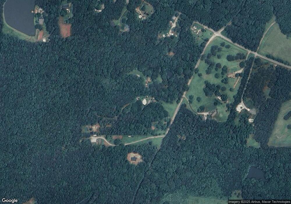
Map
Nearby Homes
- 141 Nugget Rd Unit 67
- 191 Tumlin Creek Rd
- 115 Nugget Rd
- 195 Gold Dust Trail
- 0 Bonner Goldmine Rd Unit 10433818
- 0 Bonner Goldmine Rd Unit 145631
- 0 Louise Ln Unit 10563364
- 0 W Highway 5 Unit 10519663
- 301 E Highway 5
- 0 Ringer Rd Unit 10595950
- 1280 Us Highway 27
- 1575 Bethesda Church Rd
- 1593 Bethesda Church Rd
- 1611 Bethesda Church Rd
- 1629 Bethesda Church Rd
- 178 S Old Highway 27
- 00 Ringer Rd
- 2088 Star Point Rd
- 305 West Dr
- 273 Old 27 Hwy
- 1074 Grice Rd
- 1048 Grice Rd
- 616 Bonner Goldmine Rd
- 1122 Grice Rd
- 622 Bonner Goldmine Rd
- 610 Bonner Goldmine Rd
- 628 Bonner Goldmine Rd
- 734 Bonner Goldmine Rd
- 1146 Grice Rd
- 640 Bonner Goldmine Rd
- 1045 Grice Rd
- 680 Bonner Goldmine Rd
- 572 Bonner Goldmine Rd
- 540 Bonner Goldmine Rd
- 600 Bonner Goldmine Rd
- 1099 Grice Rd
- 0 Grice Rd Unit 8674506
- 0 Grice Rd Unit 7502774
- 0 Grice Rd Unit 3202582
- 0 Grice Rd Unit 8457574