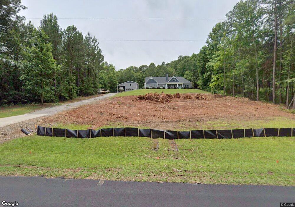
1090 Michael Rd Monroe, GA 30656
Estimated Value: $459,419 - $657,000
Studio
--
Bath
2,345
Sq Ft
$235/Sq Ft
Est. Value
About This Home
This home is located at 1090 Michael Rd, Monroe, GA 30656 and is currently estimated at $550,355, approximately $234 per square foot. 1090 Michael Rd is a home with nearby schools including Monroe Elementary School, Carver Middle School, and Monroe Area High School.
Ownership History
Date
Name
Owned For
Owner Type
Purchase Details
Closed on
Dec 13, 2017
Sold by
Southerly Homes Llc
Bought by
Miles Dennis and Miles Cheryl A
Current Estimated Value
Purchase Details
Closed on
Aug 1, 2017
Sold by
Miles Dennis
Bought by
Southerly Homes Llc
Purchase Details
Closed on
Jun 20, 2017
Sold by
Neely April Joy Kaigler
Bought by
Miles Dennis and Miles Cheryl
Create a Home Valuation Report for This Property
The Home Valuation Report is an in-depth analysis detailing your home's value as well as a comparison with similar homes in the area
Home Values in the Area
Average Home Value in this Area
Purchase History
We collect this data history from publicly available records. To have your information removed, we recommend requesting removal directly through your county’s website.
| Date | Buyer | Sale Price | Title Company |
|---|---|---|---|
| Miles Dennis | $288,500 | -- | |
| Southerly Homes Llc | -- | -- | |
| Miles Dennis | $29,000 | -- |
Source: Public Records
Tax History
| Year | Tax Paid | Tax Assessment Tax Assessment Total Assessment is a certain percentage of the fair market value that is determined by local assessors to be the total taxable value of land and additions on the property. | Land | Improvement |
|---|---|---|---|---|
| 2025 | $4,475 | $189,560 | $30,360 | $159,200 |
| 2024 | $4,332 | $182,640 | $30,360 | $152,280 |
| 2023 | $4,180 | $164,520 | $25,280 | $139,240 |
| 2022 | $4,152 | $150,960 | $22,240 | $128,720 |
| 2021 | $3,835 | $128,840 | $17,680 | $111,160 |
| 2020 | $3,695 | $117,680 | $17,680 | $100,000 |
| 2019 | $3,581 | $105,120 | $12,640 | $92,480 |
| 2018 | $3,429 | $105,120 | $12,640 | $92,480 |
| 2017 | $436 | $12,640 | $12,640 | $0 |
| 2016 | $429 | $12,640 | $12,640 | $0 |
| 2015 | $436 | $12,640 | $12,640 | $0 |
| 2014 | -- | $12,640 | $12,640 | $0 |
Source: Public Records
Map
Nearby Homes
- 3200 Bunk Tillman Rd
- 1393 Michael Rd NW
- 2013 Seclusion Trail
- 3279 Tommy Dillard Rd
- 2032 Seclusion Trail
- 1734 Lakeland Dr
- 2955 Tommy Dillard Rd
- 2811 Ike Stone Rd
- 1231 John W Breedlove Rd NW
- 1480 Bradley Gin Rd NW
- 809 John W Breedlove Rd NW
- 1790 Michael Rd NW
- 1811 Michael Rd
- 999 Snip Dillard Rd NW
- 2101 Apalachee Trail
- 452 Mount Vernon Rd
- 1110 Locklin Rd
- 216 Saddle Creek Dr
- TRACT 7 Bradley Gin Rd
- TRACT 5 Bradley Gin Rd
- 1072 Michael Rd
- 1108 Michael Rd
- 1054 Michael Rd NW Unit 11
- 1054 Michael Rd NW
- 1142 Michael Rd
- 000 Michael Rd NW
- 0000 Michael Rd NW
- 00 Michael Rd NW
- 1036 Michael Rd NW
- 845 Michael Rd NW
- 1180 Michael Rd
- 1180 Michael Rd
- 1065 Michael Rd
- 1018 Michael Rd NW
- 1162 Michael Rd
- 1000 Michael Rd NW
- 1200 Michael Rd
- 1354 Michael Rd NW
- 003 Michael Rd NW
- 001 Michael Rd NW
Your Personal Tour Guide
Ask me questions while you tour the home.