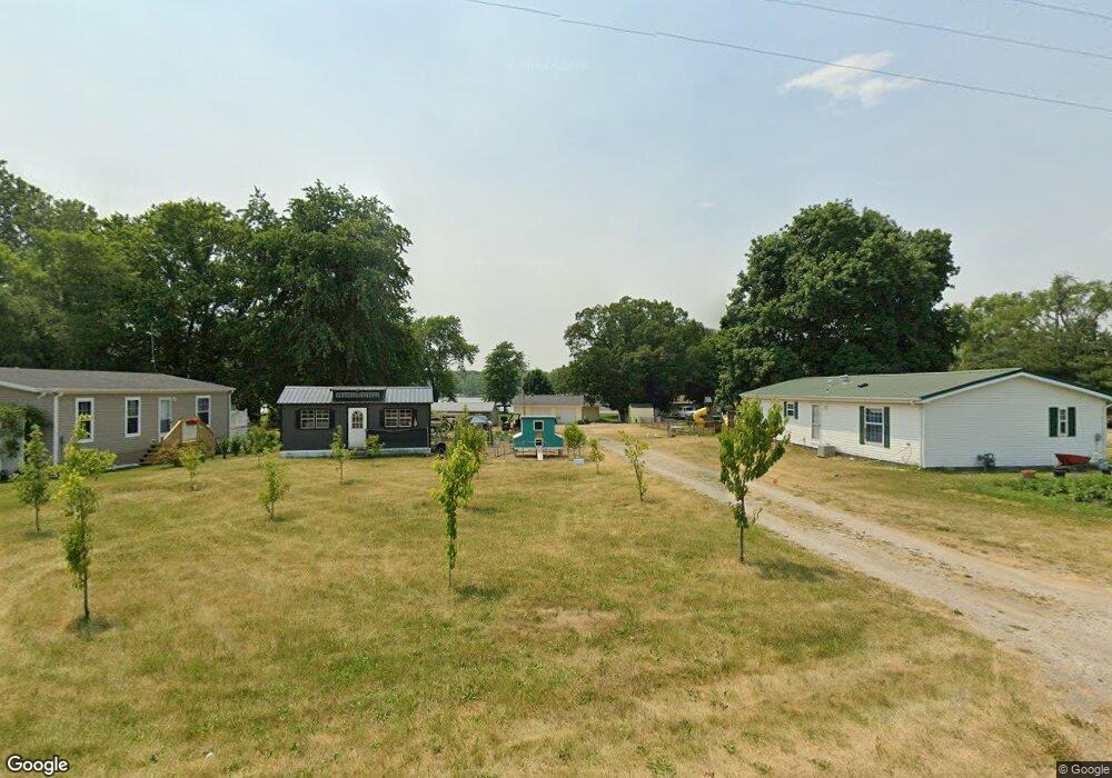
1090 S 520 E Lagrange, IN 46761
Estimated Value: $249,000 - $372,000
3
Beds
1
Bath
1,360
Sq Ft
$230/Sq Ft
Est. Value
About This Home
This home is located at 1090 S 520 E, Lagrange, IN 46761 and is currently estimated at $313,421, approximately $230 per square foot. 1090 S 520 E is a home located in LaGrange County with nearby schools including Lakeland Jr/Sr High School, Oak Hill School, and Nature Valley School.
Ownership History
Date
Name
Owned For
Owner Type
Purchase Details
Closed on
Oct 5, 2020
Sold by
Arroyo Juan C and Arroyo Christina R
Bought by
Gray Michael M and Gray Diana Marie
Current Estimated Value
Home Financials for this Owner
Home Financials are based on the most recent Mortgage that was taken out on this home.
Original Mortgage
$20,000
Outstanding Balance
$17,093
Interest Rate
2.9%
Mortgage Type
Construction
Estimated Equity
$296,328
Create a Home Valuation Report for This Property
The Home Valuation Report is an in-depth analysis detailing your home's value as well as a comparison with similar homes in the area
Purchase History
| Date | Buyer | Sale Price | Title Company |
|---|---|---|---|
| Gray Michael M | -- | Attorney Only |
Source: Public Records
Mortgage History
| Date | Status | Borrower | Loan Amount |
|---|---|---|---|
| Open | Gray Michael M | $20,000 |
Source: Public Records
Tax History
| Year | Tax Paid | Tax Assessment Tax Assessment Total Assessment is a certain percentage of the fair market value that is determined by local assessors to be the total taxable value of land and additions on the property. | Land | Improvement |
|---|---|---|---|---|
| 2024 | $753 | $225,300 | $73,600 | $151,700 |
| 2023 | $625 | $206,400 | $66,900 | $139,500 |
| 2022 | $728 | $192,900 | $58,200 | $134,700 |
| 2021 | $665 | $188,800 | $52,900 | $135,900 |
| 2020 | $658 | $174,900 | $50,400 | $124,500 |
| 2019 | $645 | $169,900 | $50,400 | $119,500 |
| 2018 | $711 | $167,700 | $50,400 | $117,300 |
| 2017 | $728 | $172,300 | $50,400 | $121,900 |
| 2016 | $612 | $152,400 | $50,400 | $102,000 |
| 2014 | $487 | $133,500 | $50,400 | $83,100 |
| 2013 | $487 | $134,400 | $50,400 | $84,000 |
Source: Public Records
Map
Nearby Homes
- 1055 S 495 E
- 1630 S 485 E
- 2140 S 500 E
- 2375 S 460 E
- 1400 N 200 E
- 5785 S 550 E
- 505 N Maple St
- 602 N Maple St
- 405 N Canal St
- 314 E Michigan St
- 737 N Canal St
- 207 S Poplar St
- 4350 S 895 E
- 202 W Central Ave
- 307 N Detroit St
- 217-219 Church St
- 625 S (Rear) 455 E
- 2200-2201 Indiana 9
- 3335 N 800 E
- 217 N Sherman St
Your Personal Tour Guide
Ask me questions while you tour the home.