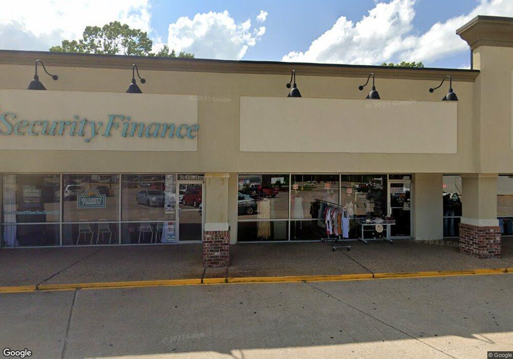
1090 S Neosho Blvd Unit C&D Neosho, MO 64850
--
Bed
2
Baths
73,468
Sq Ft
8.11
Acres
About This Home
This home is located at 1090 S Neosho Blvd Unit C&D, Neosho, MO 64850. 1090 S Neosho Blvd Unit C&D is a home located in Newton County with nearby schools including Neosho High School, Ozark Christian Academy, and Neosho Christian Schools.
Ownership History
Date
Name
Owned For
Owner Type
Purchase Details
Closed on
Mar 6, 2020
Sold by
Neosho Blvd Investments Llc
Bought by
Harbor Freight Tools Usa Inc
Home Financials for this Owner
Home Financials are based on the most recent Mortgage that was taken out on this home.
Original Mortgage
$4,400,000
Interest Rate
3.6%
Mortgage Type
New Conventional
Purchase Details
Closed on
Jan 6, 2020
Sold by
1088 Neosho Land Holdings Llc
Bought by
Neosho Blvd Investments Llc
Home Financials for this Owner
Home Financials are based on the most recent Mortgage that was taken out on this home.
Original Mortgage
$4,400,000
Interest Rate
3.6%
Mortgage Type
New Conventional
Create a Home Valuation Report for This Property
The Home Valuation Report is an in-depth analysis detailing your home's value as well as a comparison with similar homes in the area
Home Values in the Area
Average Home Value in this Area
Purchase History
| Date | Buyer | Sale Price | Title Company |
|---|---|---|---|
| Harbor Freight Tools Usa Inc | -- | -- | |
| Neosho Blvd Investments Llc | $5,852,000 | Waco Title |
Source: Public Records
Mortgage History
| Date | Status | Borrower | Loan Amount |
|---|---|---|---|
| Previous Owner | Neosho Blvd Investments Llc | $4,400,000 |
Source: Public Records
Tax History Compared to Growth
Tax History
| Year | Tax Paid | Tax Assessment Tax Assessment Total Assessment is a certain percentage of the fair market value that is determined by local assessors to be the total taxable value of land and additions on the property. | Land | Improvement |
|---|---|---|---|---|
| 2024 | $39,431 | $669,660 | -- | -- |
| 2023 | $39,431 | $669,660 | $81,444 | $588,216 |
| 2022 | $39,431 | $669,180 | -- | -- |
| 2021 | $39,379 | $669,180 | $0 | $0 |
| 2020 | $39,227 | $669,180 | $0 | $0 |
| 2019 | $35,972 | $669,180 | $0 | $0 |
| 2018 | $34,501 | $669,180 | $0 | $0 |
| 2017 | $34,485 | $637,060 | $0 | $0 |
| 2016 | $34,485 | $636,770 | $0 | $0 |
| 2015 | -- | $636,700 | $0 | $0 |
| 2014 | -- | $636,700 | $0 | $0 |
Source: Public Records
Map
Nearby Homes
- 1212 Hawthorne Dr
- 1214 Linden Terrace
- Tbd S Business 49
- 000b S Business 49
- 000c S Business 49
- Xxxa S Business 49
- 000a S Business 49
- 000 S Business 49
- 2.89 Ac W Daugherty Rd
- 1701 Village Ln
- 711 W South St
- 1430 Oak Ridge Dr
- 1909 Lael Dr
- 512 Geyer Rd
- 748 Oak Ridge Dr
- 1706 Watkins Dr
- 15084 Mm Hwy
- 12456 64 Harley Ln
- 620 W South St
- 12456 & 64 Harley Ln
- 1090 S Neosho Blvd Unit P
- 1090 S Neosho Blvd Unit A
- 1156 S Neosho Blvd
- 1223 Hawthorne Dr
- 1221 Hawthorne Dr
- 1160 S Neosho Blvd
- 1415 Hawthorne Dr
- 1215 Hawthorne Dr
- 3201 Lusk Dr Unit I
- 3201 Lusk Dr Unit A
- 3201 Lusk Dr Unit K
- 3201 Lusk Dr Unit D2
- 3201 Lusk Dr
- 3201 Lusk Dr Unit D
- 1416 Hawthorne Dr
- 1410 Hawthorne Dr
- 1211 Hawthorne Dr
- 1029 Johnson Dr
- 1401 Waldo Hatler Memorial Dr
- 1107 S Neosho Blvd