1090 Sunshadow Ln Bishop, GA 30621
Estimated Value: $318,673 - $374,000
Studio
--
Bath
1,328
Sq Ft
$260/Sq Ft
Est. Value
About This Home
This home is located at 1090 Sunshadow Ln, Bishop, GA 30621 and is currently estimated at $345,418, approximately $260 per square foot. 1090 Sunshadow Ln is a home located in Oconee County with nearby schools including High Shoals Elementary School, Malcom Bridge Middle School, and North Oconee High School.
Ownership History
Date
Name
Owned For
Owner Type
Purchase Details
Closed on
Jul 17, 2006
Sold by
Not Provided
Bought by
Stancil Martin H and Stancil Susan L
Current Estimated Value
Home Financials for this Owner
Home Financials are based on the most recent Mortgage that was taken out on this home.
Original Mortgage
$104,000
Outstanding Balance
$60,590
Interest Rate
6.6%
Mortgage Type
New Conventional
Estimated Equity
$284,828
Purchase Details
Closed on
Oct 24, 2003
Sold by
Moody Teri M and Moody F
Bought by
Bell Robert H
Purchase Details
Closed on
May 14, 2003
Sold by
Campbell Brian R
Bought by
Campbell Teri M
Create a Home Valuation Report for This Property
The Home Valuation Report is an in-depth analysis detailing your home's value as well as a comparison with similar homes in the area
Purchase History
| Date | Buyer | Sale Price | Title Company |
|---|---|---|---|
| Stancil Martin H | $130,000 | -- | |
| Bell Robert H | $112,000 | -- | |
| Campbell Teri M | -- | -- |
Source: Public Records
Mortgage History
| Date | Status | Borrower | Loan Amount |
|---|---|---|---|
| Open | Stancil Martin H | $104,000 |
Source: Public Records
Tax History
| Year | Tax Paid | Tax Assessment Tax Assessment Total Assessment is a certain percentage of the fair market value that is determined by local assessors to be the total taxable value of land and additions on the property. | Land | Improvement |
|---|---|---|---|---|
| 2025 | $1,921 | $105,871 | $30,847 | $75,024 |
| 2024 | $1,921 | $98,890 | $28,530 | $70,360 |
| 2023 | $1,848 | $90,994 | $26,417 | $64,577 |
| 2022 | $1,629 | $75,934 | $21,134 | $54,800 |
| 2021 | $1,489 | $64,311 | $16,496 | $47,815 |
| 2020 | $1,414 | $60,970 | $16,172 | $44,798 |
| 2019 | $1,312 | $56,591 | $13,477 | $43,114 |
| 2018 | $1,130 | $47,713 | $11,719 | $35,994 |
| 2017 | $1,017 | $42,935 | $10,654 | $32,281 |
| 2016 | $971 | $41,003 | $9,012 | $31,991 |
| 2015 | $974 | $41,043 | $9,012 | $32,032 |
| 2014 | $939 | $38,652 | $8,192 | $30,459 |
| 2013 | -- | $37,294 | $8,192 | $29,101 |
Source: Public Records
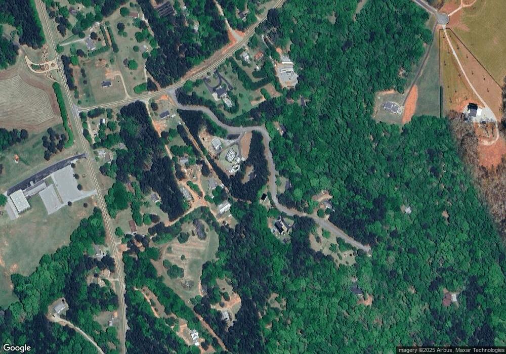
Map
Nearby Homes
- 1070 Lexington Ct
- 2100 Rays Church Rd
- 2361 Elder Rd
- 1040 Pimlico Ln
- 2351 Elder Rd
- 1060 Parker Creek Rd
- 1040 Peacock Dr
- 0 Us 53 Hwy Unit 10376334
- 1070 Lane Creek Terrace
- 1080 Oak Ridge Ct
- 2841 Cole Springs Rd
- 2821 Cole Springs Rd
- 2012 Shoal Creek Way
- 1858 Boulder Ridge Ln
- 2037 Boulder Ridge Ln
- 1698 Shoal Creek Way
- 4081 Willow Creek Dr
- 4321 Willow Creek Dr
- 4381 Willow Creek Dr
- 4551 Willow Creek Dr
- 1101 Sunshadow Ln
- 1064 Sunshadow Ln
- 1130 Sunshadow Ln
- 1681 Maxey Rd
- 0 Maxey Rd Unit CM978687
- 0 Maxey Rd Unit 8859697
- 0 Maxey Rd
- 1181 Sunshadow Ln
- 1641 Maxey Rd
- 1061 Sunshadow Ln
- 1843 Rays Church Rd
- 1601 Maxey Rd
- 1561 Maxey Rd
- 1801 Rays Church Rd
- 1841 Rays Church Rd
- 1851 Rays Church Rd Unit 1851&1853
- 1851 Rays Church Rd
- 1851 Rays Church Rd Unit 1851&1853
- 1851 Rays Church Rd
- 1851 Rays Church Rd
Your Personal Tour Guide
Ask me questions while you tour the home.