10900 Bouldercrest Dr South Lyon, MI 48178
Estimated Value: $430,795 - $541,000
3
Beds
2
Baths
1,600
Sq Ft
$303/Sq Ft
Est. Value
About This Home
This home is located at 10900 Bouldercrest Dr, South Lyon, MI 48178 and is currently estimated at $484,449, approximately $302 per square foot. 10900 Bouldercrest Dr is a home located in Livingston County with nearby schools including William A. Brummer Elementary School, Centennial Middle School, and South Lyon High School.
Ownership History
Date
Name
Owned For
Owner Type
Purchase Details
Closed on
Jun 24, 2020
Sold by
Kraft Walter
Bought by
Kraft Walter
Current Estimated Value
Purchase Details
Closed on
Jan 30, 2014
Sold by
Champe Charles K and Champe Kim
Bought by
Kraft Walter P
Create a Home Valuation Report for This Property
The Home Valuation Report is an in-depth analysis detailing your home's value as well as a comparison with similar homes in the area
Home Values in the Area
Average Home Value in this Area
Purchase History
| Date | Buyer | Sale Price | Title Company |
|---|---|---|---|
| Kraft Walter | -- | None Available | |
| Kraft Walter P | $237,000 | -- |
Source: Public Records
Tax History Compared to Growth
Tax History
| Year | Tax Paid | Tax Assessment Tax Assessment Total Assessment is a certain percentage of the fair market value that is determined by local assessors to be the total taxable value of land and additions on the property. | Land | Improvement |
|---|---|---|---|---|
| 2025 | $4,118 | $194,600 | $0 | $0 |
| 2024 | $2,774 | $176,700 | $0 | $0 |
| 2023 | $2,646 | $156,200 | $0 | $0 |
| 2022 | $3,363 | $127,600 | $0 | $0 |
| 2021 | $3,363 | $140,700 | $0 | $0 |
| 2020 | $3,346 | $132,500 | $0 | $0 |
| 2019 | $3,379 | $127,600 | $0 | $0 |
| 2018 | $3,333 | $118,700 | $0 | $0 |
| 2017 | $3,385 | $118,200 | $0 | $0 |
| 2016 | $3,435 | $114,700 | $0 | $0 |
| 2014 | $2,529 | $99,400 | $0 | $0 |
| 2012 | $2,529 | $82,500 | $0 | $0 |
Source: Public Records
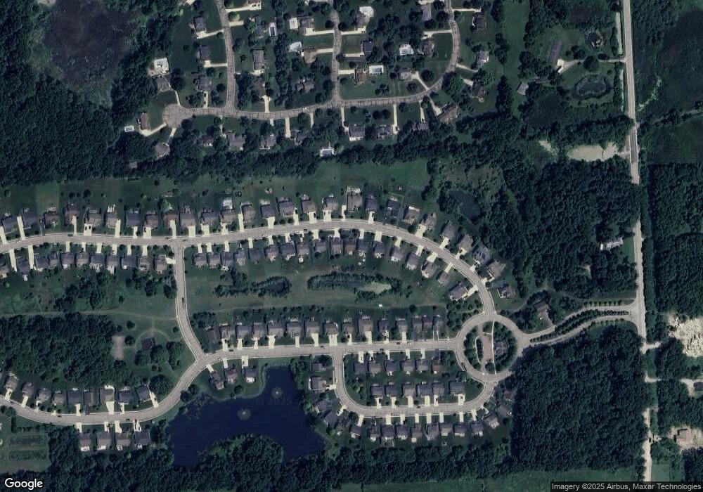
Map
Nearby Homes
- 10403 Bouldercrest Dr
- 10820 Bouldercrest Dr
- 11433 Marshall Rd
- 10593 9 Mile Rd
- 11346 E Shore Dr
- 10456 Oak Shore Dr
- 10537 Oak Forest Dr
- 10512 Oak Forest Dr
- 10468 Oak Shore Dr
- 10536 Oak Shore Dr
- 10875 Charring Cross Cir
- 10324 Greenwood Rd
- 11108 Wood Run Cir
- 10303 9 Mile Rd
- 10320 Harpers Ferry Ct
- 11078 Wood Run Cir
- 10194 Elmcrest Rd
- 11045 Woodland Ridge Ct
- 11090 Stony River Ct
- 424 E Shore Dr
- 10908 Bouldercrest Dr
- 10892 Bouldercrest Dr
- 10897 Boulder Crest Dr
- 10916 Bouldercrest Dr
- 10909 Boulder Crest Dr
- 10916 Boulder Crest Dr
- 10897 Bouldercrest Dr
- 10909 Bouldercrest Dr
- 10932 Bouldercrest Dr
- 10921 Bouldercrest Dr
- 10863 Boulder Crest Dr
- 10935 Boulder Crest Dr
- 10940 Bouldercrest Dr
- 10927 Bouldercrest Dr
- 10863 Bouldercrest Dr
- 10948 Bouldercrest Dr Unit Bldg-Unit
- 10948 Bouldercrest Dr
- 10404 Bouldercrest Dr
- 10404 Bouldercrest Dr
- 10420 Bouldercrest Dr