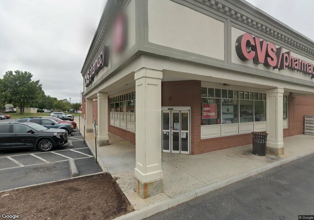
10901 W Broad St Henrico, VA 23233
Innsbrook NeighborhoodEstimated Value: $36,125,224
--
Bed
--
Bath
137,484
Sq Ft
$263/Sq Ft
Est. Value
About This Home
This home is located at 10901 W Broad St, Henrico, VA 23233 and is currently estimated at $36,125,224, approximately $262 per square foot. 10901 W Broad St is a home located in Henrico County with nearby schools including Colonial Trail Elementary School, Quioccasin Middle School, and Tucker High School.
Ownership History
Date
Name
Owned For
Owner Type
Purchase Details
Closed on
Dec 30, 2019
Sold by
Pf Colonnades Corp
Bought by
Colonnades West Va Lp
Current Estimated Value
Home Financials for this Owner
Home Financials are based on the most recent Mortgage that was taken out on this home.
Original Mortgage
$15,509,000
Outstanding Balance
$13,702,819
Interest Rate
3.6%
Mortgage Type
Commercial
Estimated Equity
$22,422,405
Create a Home Valuation Report for This Property
The Home Valuation Report is an in-depth analysis detailing your home's value as well as a comparison with similar homes in the area
Home Values in the Area
Average Home Value in this Area
Purchase History
| Date | Buyer | Sale Price | Title Company |
|---|---|---|---|
| Colonnades West Va Lp | $23,860,000 | Attorney |
Source: Public Records
Mortgage History
| Date | Status | Borrower | Loan Amount |
|---|---|---|---|
| Open | Colonnades West Va Lp | $15,509,000 |
Source: Public Records
Tax History Compared to Growth
Tax History
| Year | Tax Paid | Tax Assessment Tax Assessment Total Assessment is a certain percentage of the fair market value that is determined by local assessors to be the total taxable value of land and additions on the property. | Land | Improvement |
|---|---|---|---|---|
| 2025 | -- | $22,618,700 | $5,768,400 | $16,850,300 |
| 2024 | $192,259 | $20,261,000 | $5,768,400 | $14,492,600 |
| 2023 | $172,307 | $20,271,400 | $5,768,400 | $14,503,000 |
| 2022 | $188,834 | $22,215,800 | $5,768,400 | $16,447,400 |
| 2021 | $191,226 | $23,982,700 | $5,798,900 | $18,183,800 |
| 2020 | $208,650 | $23,982,700 | $5,798,900 | $18,183,800 |
| 2019 | $192,159 | $22,087,200 | $5,798,900 | $16,288,300 |
| 2018 | $192,601 | $22,138,000 | $5,798,900 | $16,339,100 |
| 2017 | $188,968 | $21,720,500 | $5,624,700 | $16,095,800 |
| 2016 | $180,858 | $20,788,300 | $5,537,600 | $15,250,700 |
| 2015 | $165,985 | $20,138,700 | $5,450,500 | $14,688,200 |
| 2014 | $165,985 | $19,078,700 | $5,450,500 | $13,628,200 |
Source: Public Records
Map
Nearby Homes
- 10978 Greenaire Place
- 10902 Greenaire Place
- 10818 Sebring Dr
- 10012 Woodbaron Way
- 11305 Markham Ct
- 1903 Old Brick Rd
- 1724 Old Brick Rd Unit A
- 1704 Old Brick Rd Unit A
- 11220 Eastborough Ct
- 3001 Blackthorn Way
- 4400 Willow Run Terrace
- 115 Wellie Hill Place Unit A
- Stonefield Plan at Nantucket Mews
- Southport Plan at Nantucket Mews
- Coronado Plan at Nantucket Mews
- Camellia Plan at Nantucket Mews
- Montauk Plan at Nantucket Mews
- Saybrook Plan at Nantucket Mews
- Hadley Plan at Nantucket Mews
- Astoria Plan at Nantucket Mews
- 11002 W Broad St
- 10961 W Broad St
- 11011 W Broad St
- 3500 Cox Rd
- 3500 Cox Rd
- 3701 Cox Rd
- 4101 Dominion Blvd
- 11001 W Broad St
- 11000 W Broad St
- 10871 W Broad St
- 3601 Cox Rd
- 3790 Westerre Pkwy
- 4040 Cox Rd
- 3501 Cox Rd
- 10791 W Broad St
- 0000 Twin Oaks Lane Rd
- 000 Twin Oaks Ln
- 4180 Dominion Blvd
- 10751 W Broad St
- 3855 Westerre Pkwy