10905 Bunker Dr Demotte, IN 46310
Walker NeighborhoodEstimated Value: $408,347 - $462,000
4
Beds
4
Baths
3,006
Sq Ft
$147/Sq Ft
Est. Value
About This Home
This home is located at 10905 Bunker Dr, Demotte, IN 46310 and is currently estimated at $443,337, approximately $147 per square foot. 10905 Bunker Dr is a home located in Jasper County with nearby schools including Kankakee Valley High School, DeMotte Christian School, and DeMotte Christian High School.
Ownership History
Date
Name
Owned For
Owner Type
Purchase Details
Closed on
Oct 10, 2017
Sold by
Martin James D
Bought by
Simms Bradley A and Simms Jessica A
Current Estimated Value
Home Financials for this Owner
Home Financials are based on the most recent Mortgage that was taken out on this home.
Original Mortgage
$208,000
Outstanding Balance
$173,552
Interest Rate
3.78%
Mortgage Type
New Conventional
Estimated Equity
$269,785
Create a Home Valuation Report for This Property
The Home Valuation Report is an in-depth analysis detailing your home's value as well as a comparison with similar homes in the area
Home Values in the Area
Average Home Value in this Area
Purchase History
| Date | Buyer | Sale Price | Title Company |
|---|---|---|---|
| Simms Bradley A | -- | Chicago Title Insurance Comp |
Source: Public Records
Mortgage History
| Date | Status | Borrower | Loan Amount |
|---|---|---|---|
| Open | Simms Bradley A | $208,000 |
Source: Public Records
Tax History Compared to Growth
Tax History
| Year | Tax Paid | Tax Assessment Tax Assessment Total Assessment is a certain percentage of the fair market value that is determined by local assessors to be the total taxable value of land and additions on the property. | Land | Improvement |
|---|---|---|---|---|
| 2024 | $1,782 | $357,100 | $29,400 | $327,700 |
| 2023 | $1,540 | $327,800 | $29,400 | $298,400 |
| 2022 | $1,542 | $289,200 | $25,900 | $263,300 |
| 2021 | $1,442 | $266,200 | $24,700 | $241,500 |
| 2020 | $1,515 | $259,800 | $24,700 | $235,100 |
| 2019 | $1,442 | $254,300 | $24,700 | $229,600 |
| 2018 | $1,355 | $245,100 | $24,700 | $220,400 |
| 2017 | $1,076 | $212,600 | $24,700 | $187,900 |
| 2016 | $1,076 | $211,700 | $24,700 | $187,000 |
| 2014 | $803 | $188,600 | $24,700 | $163,900 |
Source: Public Records
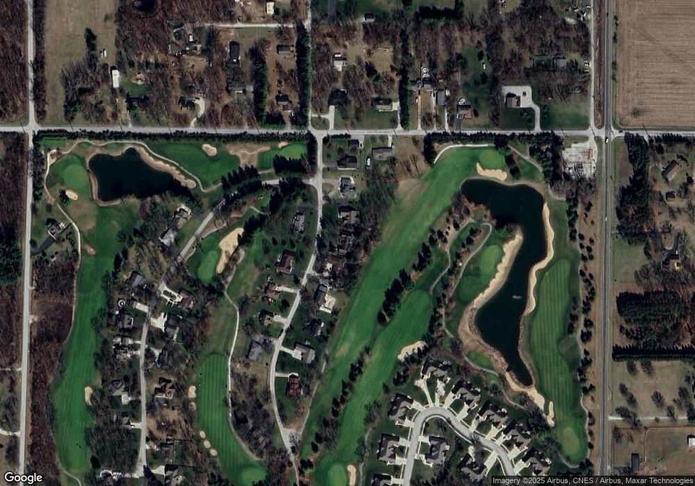
Map
Nearby Homes
- 10859 Bunker Dr
- 10798 Bunker Dr
- 5708 Fountain View Dr
- 10752 Dogleg Dr
- 10427 N 600 W
- 10264 Forest Hills Dr
- 4700 W 1100 N
- 10365 Serenity Dr
- 5934 W State Road 10
- 11022 Pleasant Grove Dr
- 11038 Pleasant Grove Dr
- 11138 Woodcrest Place
- 11218 Woodcrest Dr
- 11282 Woodcrest Dr
- 11021 Pleasant Grove Dr
- 11334 Woodcrest Dr
- 11133 Pleasant Grove Dr
- 4186 Woodcrest Ct
- 11222 Pleasant Grove Dr
- 4455 Autumn Ridge
- 10953 Bunker Dr
- 10929 Bunker Dr
- 10883 Bunker Dr
- 10906 Bunker Dr
- 10882 Bunker Dr
- 10979 Bunker Dr
- Lot20 Bunker Dr
- Lot 20 Bunker Dr
- 5699 W 1100 N
- 10844 Bunker Dr
- 10833 Bunker Dr
- 0-Lot 20 Bunker Dr
- 10814 Bunker Dr
- 5780 W 1100 N
- 5700 W 1100 N
- 5742 W 1100 N
- 10701 Bunker Dr
- 5656 W 1100 N
- 5644 W 1100 N
- 5636 W 1100 N