10906 Merlin Dr Sanger, TX 76266
Estimated Value: $895,000 - $1,142,000
4
Beds
3
Baths
3,680
Sq Ft
$267/Sq Ft
Est. Value
About This Home
This home is located at 10906 Merlin Dr, Sanger, TX 76266 and is currently estimated at $982,057, approximately $266 per square foot. 10906 Merlin Dr is a home located in Denton County with nearby schools including Chisholm Trail Elementary School, Clear Creek Intermediate School, and Sanger Sixth Grade Campus.
Ownership History
Date
Name
Owned For
Owner Type
Purchase Details
Closed on
Nov 11, 2024
Sold by
Henry John W and Warren Elisabeth B
Bought by
Bar Vk Air Ranch Estates Association Inc
Current Estimated Value
Purchase Details
Closed on
Nov 29, 2021
Sold by
Henry John Warren
Bought by
Henry John W and Warren Elisabeth B
Home Financials for this Owner
Home Financials are based on the most recent Mortgage that was taken out on this home.
Original Mortgage
$448,500
Interest Rate
2.37%
Mortgage Type
New Conventional
Create a Home Valuation Report for This Property
The Home Valuation Report is an in-depth analysis detailing your home's value as well as a comparison with similar homes in the area
Home Values in the Area
Average Home Value in this Area
Purchase History
| Date | Buyer | Sale Price | Title Company |
|---|---|---|---|
| Bar Vk Air Ranch Estates Association Inc | -- | None Listed On Document | |
| Bar Vk Air Ranch Estates Association Inc | -- | None Listed On Document | |
| Henry John W | -- | First American Title |
Source: Public Records
Mortgage History
| Date | Status | Borrower | Loan Amount |
|---|---|---|---|
| Previous Owner | Henry John W | $448,500 |
Source: Public Records
Tax History Compared to Growth
Tax History
| Year | Tax Paid | Tax Assessment Tax Assessment Total Assessment is a certain percentage of the fair market value that is determined by local assessors to be the total taxable value of land and additions on the property. | Land | Improvement |
|---|---|---|---|---|
| 2025 | $2,849 | $709,943 | $327,609 | $698,985 |
| 2024 | $8,760 | $645,403 | $0 | $0 |
| 2023 | $3,445 | $629,878 | $172,592 | $614,120 |
| 2022 | $9,824 | $592,266 | $176,000 | $495,719 |
| 2021 | $7,584 | $519,749 | $128,000 | $391,749 |
| 2020 | $7,821 | $497,822 | $96,000 | $401,822 |
| 2019 | $7,849 | $479,592 | $96,000 | $383,592 |
| 2018 | $8,102 | $491,356 | $96,000 | $404,158 |
| 2017 | $7,035 | $423,668 | $72,000 | $387,610 |
| 2016 | $6,266 | $377,349 | $50,000 | $327,349 |
| 2015 | -- | $384,300 | $50,000 | $334,300 |
| 2013 | -- | $350,449 | $50,000 | $300,449 |
Source: Public Records
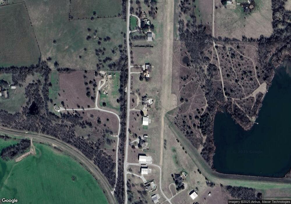
Map
Nearby Homes
- 12142 Fm 2450
- 11007 Farm To Market Road 2450
- 10916 Fm 2450
- 8623 Chisum Rd
- 6810 Hunnington Dr
- 6000 Fm 455 W
- 5990 Farm To Market 455 W
- 7240 Hunnington Dr
- 11087 Chisum Rd
- TBD Sam Bass Rd W
- Tract 3 Sam Bass Rd
- Tract 2 Sam Bass Rd
- Tract 1 Sam Bass Rd
- 921 Waters Edge Dr
- 6362 Belz Rd
- 6298 Belz Rd
- TBD Lois Rd E
- 9715 Fm 2450
- 6221 Deer Run Rd
- 000 Fm 2450
- 10988 Merlin Dr
- 10834 Merlin Dr
- 10766 Merlin Dr
- 11074 Merlin Dr
- 6877 Cub Ln
- 11922 Fm 2450
- 11750 Eagle View Dr
- 11801 Eagle View Dr
- 10570 Sky Ln
- 12142 Fm 2450 Unit 2450
- 11584 Eagle View Dr
- TBD Merlin Dr
- 7962 Chisum Rd
- 7510 Chisum Rd
- 7275 Falcon Loop
- 8110 Kassandra Dr
- 8136 Kassandra Dr
- 8190 Kassandra Dr
- 7975 Kassandra Dr
- 8162 Kassandra Dr