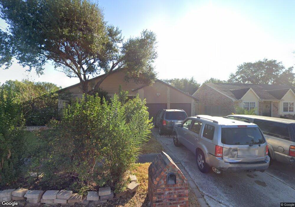
10906 Misty Summit Dr Houston, TX 77086
North Houston NeighborhoodEstimated Value: $277,000 - $317,000
4
Beds
2
Baths
2,374
Sq Ft
$124/Sq Ft
Est. Value
About This Home
This home is located at 10906 Misty Summit Dr, Houston, TX 77086 and is currently estimated at $293,910, approximately $123 per square foot. 10906 Misty Summit Dr is a home located in Harris County with nearby schools including Kujawa EC/Pre-K/K School, Carmichael Elementary School, and Shotwell Middle School.
Ownership History
Date
Name
Owned For
Owner Type
Purchase Details
Closed on
Dec 31, 1996
Sold by
Bratcher Thomas R
Bought by
Salazar Maria
Current Estimated Value
Home Financials for this Owner
Home Financials are based on the most recent Mortgage that was taken out on this home.
Original Mortgage
$37,000
Outstanding Balance
$3,942
Interest Rate
7.54%
Estimated Equity
$289,968
Purchase Details
Closed on
Dec 25, 1995
Sold by
Resolution Trust Corp
Bought by
Bratcher Thomas R
Create a Home Valuation Report for This Property
The Home Valuation Report is an in-depth analysis detailing your home's value as well as a comparison with similar homes in the area
Home Values in the Area
Average Home Value in this Area
Purchase History
| Date | Buyer | Sale Price | Title Company |
|---|---|---|---|
| Salazar Maria | -- | Fidelity National Title | |
| Bratcher Thomas R | -- | Fidelity National Title |
Source: Public Records
Mortgage History
| Date | Status | Borrower | Loan Amount |
|---|---|---|---|
| Open | Salazar Maria | $37,000 |
Source: Public Records
Tax History Compared to Growth
Tax History
| Year | Tax Paid | Tax Assessment Tax Assessment Total Assessment is a certain percentage of the fair market value that is determined by local assessors to be the total taxable value of land and additions on the property. | Land | Improvement |
|---|---|---|---|---|
| 2025 | $5,675 | $321,180 | $40,238 | $280,942 |
| 2024 | $5,675 | $325,217 | $40,238 | $284,979 |
| 2023 | $5,675 | $332,878 | $40,238 | $292,640 |
| 2022 | $6,184 | $281,436 | $34,100 | $247,336 |
| 2021 | $5,608 | $230,952 | $34,100 | $196,852 |
| 2020 | $5,903 | $218,650 | $34,100 | $184,550 |
| 2019 | $6,137 | $218,650 | $17,371 | $201,279 |
| 2018 | $2,501 | $199,187 | $17,371 | $181,816 |
| 2017 | $4,076 | $150,595 | $15,598 | $134,997 |
| 2016 | $3,766 | $139,135 | $15,598 | $123,537 |
| 2015 | $2,278 | $132,339 | $15,598 | $116,741 |
| 2014 | $2,278 | $105,487 | $15,598 | $89,889 |
Source: Public Records
Map
Nearby Homes
- 11006 Crinkleawn Dr
- 11007 Tobasa Ct
- 6654 Brownie Campbell Rd
- 11021 Crenchrus Ct
- 11009 Panicum Ct
- 6610 Northleaf Dr
- 6630 Brownie Campbell Rd
- 6722 Winding Trace Dr
- 7002 Sandswept Ln
- 6615 Winding Trace Dr
- 7218 Winding Trace Dr
- 7023 Sandswept Ln
- 10522 Northview Dr
- 7222 Northleaf Dr
- 7227 Greenyard Dr
- 6911 Silver Star Dr
- 6502 Trail Valley Way
- 10614 Mackenzie Dr
- 10711 Heather Hill Dr
- 5010 Kale Ct
- 10902 Misty Summit Dr
- 10810 Misty Summit Dr
- 10815 Coralstone Rd
- 6718 Northleaf Dr
- 6902 Northleaf Dr
- 10806 Misty Summit Dr
- 10811 Coralstone Rd
- 6906 Northleaf Dr
- 6811 Greenyard Dr
- 6809 Greenyard Dr
- 6813 Greenyard Dr
- 6807 Greenyard Dr
- 6714 Northleaf Dr
- 6805 Greenyard Dr
- 6903 Northleaf Dr
- 6803 Greenyard Dr
- 6903 Greenyard Dr
- 10807 Coralstone Rd
- 6737 Greenyard Dr
- 10802 Misty Summit Dr