1091 Ashmore Trace Unit 1091 Norcross, GA 30093
Estimated Value: $209,000 - $243,000
2
Beds
3
Baths
1,608
Sq Ft
$139/Sq Ft
Est. Value
About This Home
This home is located at 1091 Ashmore Trace Unit 1091, Norcross, GA 30093 and is currently estimated at $223,944, approximately $139 per square foot. 1091 Ashmore Trace Unit 1091 is a home located in Gwinnett County with nearby schools including Ferguson Elementary School, Louise Radloff Middle School, and Meadowcreek High School.
Ownership History
Date
Name
Owned For
Owner Type
Purchase Details
Closed on
Dec 16, 2024
Sold by
Banks Tory
Bought by
Banks Tory and Miller Stacey L
Current Estimated Value
Purchase Details
Closed on
Sep 2, 1999
Sold by
Harris Sr Robert Edward and Harris Sr Joanne L
Bought by
Banks Tony
Home Financials for this Owner
Home Financials are based on the most recent Mortgage that was taken out on this home.
Original Mortgage
$87,975
Interest Rate
7.85%
Mortgage Type
FHA
Purchase Details
Closed on
Jun 25, 1997
Sold by
Moss Linda J
Bought by
Harris Joanne L
Home Financials for this Owner
Home Financials are based on the most recent Mortgage that was taken out on this home.
Original Mortgage
$73,700
Interest Rate
7.98%
Mortgage Type
New Conventional
Create a Home Valuation Report for This Property
The Home Valuation Report is an in-depth analysis detailing your home's value as well as a comparison with similar homes in the area
Home Values in the Area
Average Home Value in this Area
Purchase History
| Date | Buyer | Sale Price | Title Company |
|---|---|---|---|
| Banks Tory | -- | -- | |
| Banks Tony | $90,000 | -- | |
| Harris Joanne L | $81,900 | -- |
Source: Public Records
Mortgage History
| Date | Status | Borrower | Loan Amount |
|---|---|---|---|
| Previous Owner | Banks Tony | $87,975 | |
| Previous Owner | Harris Joanne L | $73,700 |
Source: Public Records
Tax History Compared to Growth
Tax History
| Year | Tax Paid | Tax Assessment Tax Assessment Total Assessment is a certain percentage of the fair market value that is determined by local assessors to be the total taxable value of land and additions on the property. | Land | Improvement |
|---|---|---|---|---|
| 2025 | $2,633 | $106,720 | $14,000 | $92,720 |
| 2024 | $2,626 | $100,720 | $14,000 | $86,720 |
| 2023 | $2,626 | $91,400 | $12,000 | $79,400 |
| 2022 | $0 | $73,120 | $8,000 | $65,120 |
| 2021 | $1,756 | $59,400 | $8,000 | $51,400 |
| 2020 | $1,656 | $54,240 | $6,600 | $47,640 |
| 2019 | $1,486 | $47,720 | $6,600 | $41,120 |
| 2018 | $1,312 | $39,960 | $6,600 | $33,360 |
| 2016 | $977 | $25,920 | $4,800 | $21,120 |
| 2015 | $813 | $21,040 | $4,000 | $17,040 |
| 2014 | -- | $21,040 | $4,000 | $17,040 |
Source: Public Records
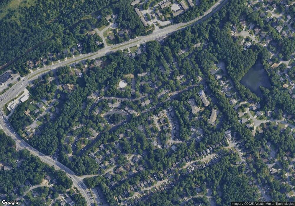
Map
Nearby Homes
- 1066 Rock Creek Ln
- 1037 Dover Way
- 1097 Rock Creek Ln
- 1049 Knights Bridge Ct
- 4608 Warners Trail Unit 3
- 1451 Indian Way NW
- 1411 Indian Way NW
- 5016 Comanche Ct NW
- 1020 Park Forest Dr NW
- 5148 Whited Way NW Unit 1
- 4652 Parklake Ct
- 1060 Heatherwood Ct
- 1360 Dickens Rd NW
- 5181 Cold Springs Dr NW
- 1014 Brockdell Ct
- 849 Cadet Ct NW
- 862 Brandlwood Way NW Unit 2
- 783 Silvercreek Ct NW
- 4868 Westridge Dr
- 1085 Rock Creek Ln
- 1012 Thornfield Ct
- 1002 Thornfield Ct
- 1002 Thornfield Ct
- 0 Wuthering Way
- 1095 Rock Creek Ln Unit 1095
- 1047 Mansfield Ct
- 1047 Mansfield Ct Unit 1047
- 1048 Mansfield Ct Unit 1048
- 1081 Ashmore Trace
- 1087 Dover Way
- 1087 Dover Way
- 0 Linwood Trace
- 1084 Burnside Way
- 1057 Dover Way Unit 1057
- 1057 Dover Way Unit 30/3
- 1066 Rock Creek Ln Unit 1066
- 1066 Rock Creek Ln
- 1018 Mansfield Ct Unit 1018