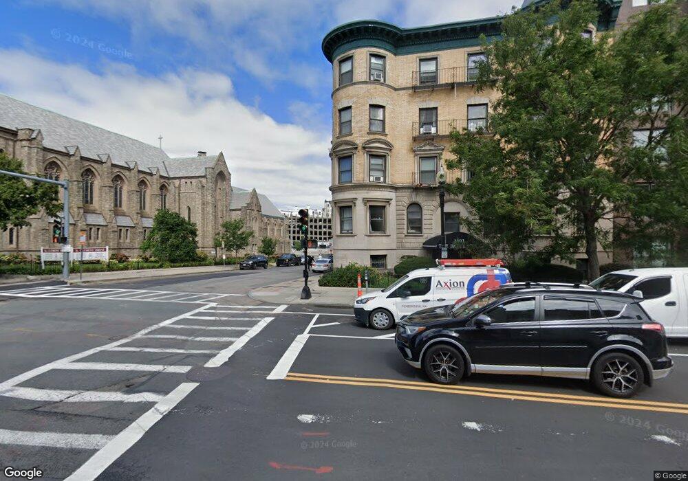
1091 Boylston St Unit 51 Boston, MA 02215
Fenway NeighborhoodEstimated Value: $494,000 - $581,802
1
Bed
1
Bath
410
Sq Ft
$1,275/Sq Ft
Est. Value
About This Home
This home is located at 1091 Boylston St Unit 51, Boston, MA 02215 and is currently estimated at $522,951, approximately $1,275 per square foot. 1091 Boylston St Unit 51 is a home located in Suffolk County with nearby schools including Edward M. Kennedy Academy for Health Careers, Kingsley Montessori School, and The Newman School.
Ownership History
Date
Name
Owned For
Owner Type
Purchase Details
Closed on
Feb 1, 2005
Sold by
Ohara Henry M
Bought by
Galanis William
Current Estimated Value
Purchase Details
Closed on
Oct 31, 1994
Sold by
Danesh Mordecai
Bought by
Ohara Christopher G and Ohara Henry M
Purchase Details
Closed on
Jan 14, 1994
Sold by
Zar Roman
Bought by
Danesh Mordecai
Create a Home Valuation Report for This Property
The Home Valuation Report is an in-depth analysis detailing your home's value as well as a comparison with similar homes in the area
Home Values in the Area
Average Home Value in this Area
Purchase History
| Date | Buyer | Sale Price | Title Company |
|---|---|---|---|
| Galanis William | $260,000 | -- | |
| Ohara Henry M | -- | -- | |
| Ohara Christopher G | $61,000 | -- | |
| Danesh Mordecai | $20,000 | -- |
Source: Public Records
Tax History Compared to Growth
Tax History
| Year | Tax Paid | Tax Assessment Tax Assessment Total Assessment is a certain percentage of the fair market value that is determined by local assessors to be the total taxable value of land and additions on the property. | Land | Improvement |
|---|---|---|---|---|
| 2025 | $5,627 | $485,900 | $0 | $485,900 |
| 2024 | $5,267 | $483,200 | $0 | $483,200 |
| 2023 | $5,035 | $468,800 | $0 | $468,800 |
| 2022 | $5,003 | $459,800 | $0 | $459,800 |
| 2021 | $4,810 | $450,800 | $0 | $450,800 |
| 2020 | $4,260 | $403,400 | $0 | $403,400 |
| 2019 | $3,975 | $377,100 | $0 | $377,100 |
| 2018 | $3,660 | $349,200 | $0 | $349,200 |
| 2017 | $3,521 | $332,500 | $0 | $332,500 |
| 2016 | $3,483 | $316,600 | $0 | $316,600 |
| 2015 | $3,501 | $289,100 | $0 | $289,100 |
| 2014 | $3,304 | $262,600 | $0 | $262,600 |
Source: Public Records
Map
Nearby Homes
- 1091 Boylston St Unit 31
- 12 Stoneholm St Unit 614
- 12 Stoneholm St Unit 420
- 12 Stoneholm St Unit PKG:B
- 12 Stoneholm St Unit 406
- 12 Stoneholm St Unit PKG:A
- 28 Fenway
- 179 Massachusetts Ave
- 52 Charlesgate E Unit 160
- 425 Newbury St Unit Pkng 179
- 425 Newbury St Unit PS-150
- 425 Newbury St Unit 165
- 425 Newbury St Unit PS-218
- 425 Newbury St Unit F15
- 75 Burbank St Unit 203
- 75 Burbank St Unit 501
- 425 Newbury Street Parking Space
- 362 Commonwealth Ave Unit 2E, 2F
- 362 Commonwealth Ave Unit 6D
- 362 Commonwealth Ave Unit 4E
- 1091 Boylston St Unit 59
- 1091 Boylston St Unit 58
- 1091 Boylston St Unit 57
- 1091 Boylston St Unit 56
- 1091 Boylston St Unit 55
- 1091 Boylston St Unit 54
- 1091 Boylston St Unit 53
- 1091 Boylston St Unit 52
- 1091 Boylston St Unit 49
- 1091 Boylston St Unit 48
- 1091 Boylston St Unit 47
- 1091 Boylston St Unit 46
- 1091 Boylston St Unit 45
- 1091 Boylston St Unit 44
- 1091 Boylston St Unit 43
- 1091 Boylston St Unit 42
- 1091 Boylston St Unit 41
- 1091 Boylston St Unit 39
- 1091 Boylston St Unit 38
- 1091 Boylston St Unit 37