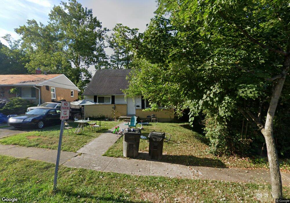
1091 Elda Ln Cincinnati, OH 45224
College Hill NeighborhoodEstimated Value: $212,000 - $251,000
4
Beds
2
Baths
1,942
Sq Ft
$116/Sq Ft
Est. Value
About This Home
This home is located at 1091 Elda Ln, Cincinnati, OH 45224 and is currently estimated at $226,016, approximately $116 per square foot. 1091 Elda Ln is a home located in Hamilton County with nearby schools including Pleasant Hill Elementary School, Robert A. Taft Information Technology High School, and Western Hills High School.
Ownership History
Date
Name
Owned For
Owner Type
Purchase Details
Closed on
Mar 24, 2023
Sold by
Lawyers Title Of Cincinnati Inc
Bought by
Briskman Real Estate Llc
Current Estimated Value
Home Financials for this Owner
Home Financials are based on the most recent Mortgage that was taken out on this home.
Original Mortgage
$72,250
Interest Rate
5.25%
Mortgage Type
New Conventional
Purchase Details
Closed on
Feb 1, 2011
Sold by
Fletcher Michael C
Bought by
Lawyers Title Of Cincinnati Inc
Purchase Details
Closed on
Jul 16, 2008
Sold by
Jones Angelita M
Bought by
Fletcher Michael C
Purchase Details
Closed on
Jun 20, 2002
Sold by
Moreno Alberto B and Moreno Johnnie B
Bought by
Jones Angelita M
Create a Home Valuation Report for This Property
The Home Valuation Report is an in-depth analysis detailing your home's value as well as a comparison with similar homes in the area
Home Values in the Area
Average Home Value in this Area
Purchase History
| Date | Buyer | Sale Price | Title Company |
|---|---|---|---|
| Briskman Real Estate Llc | $85,000 | Lawyers Title | |
| Briskman Real Estate Llc | $85,000 | Lawyers Title | |
| Lawyers Title Of Cincinnati Inc | -- | Attorney | |
| Fletcher Michael C | $58,000 | None Available | |
| Jones Angelita M | $110,000 | -- |
Source: Public Records
Mortgage History
| Date | Status | Borrower | Loan Amount |
|---|---|---|---|
| Closed | Briskman Real Estate Llc | $72,250 |
Source: Public Records
Tax History
| Year | Tax Paid | Tax Assessment Tax Assessment Total Assessment is a certain percentage of the fair market value that is determined by local assessors to be the total taxable value of land and additions on the property. | Land | Improvement |
|---|---|---|---|---|
| 2025 | $3,387 | $53,257 | $10,161 | $43,096 |
| 2024 | $3,382 | $53,257 | $10,161 | $43,096 |
| 2023 | $3,538 | $53,257 | $10,161 | $43,096 |
| 2022 | $1,280 | $17,955 | $8,274 | $9,681 |
| 2021 | $1,254 | $17,955 | $8,274 | $9,681 |
| 2020 | $1,257 | $17,955 | $8,274 | $9,681 |
| 2019 | $1,212 | $15,750 | $7,259 | $8,491 |
| 2018 | $1,213 | $15,750 | $7,259 | $8,491 |
| 2017 | $1,168 | $15,750 | $7,259 | $8,491 |
| 2016 | $1,197 | $15,751 | $7,746 | $8,005 |
| 2015 | $2,032 | $30,020 | $7,746 | $22,274 |
| 2014 | $2,042 | $30,020 | $7,746 | $22,274 |
| 2013 | $2,141 | $30,948 | $7,984 | $22,964 |
Source: Public Records
Map
Nearby Homes
- 6085 Capri Dr
- 6101 Capri Dr
- 6000 Capri Dr
- 6045 Tahiti Dr
- 1197 Toluca Ct
- 5945 Leffingwell Ave
- 6024 Sunridge Dr
- 6145 Sunridge Dr
- 5974 Sunridge Dr
- 5940 Kenneth Ave
- 6123 Kingsford Dr
- 939 Venetian Terrace
- 1190 West Way
- 1166 Groesbeck Rd
- 875 Venetian Terrace
- 6629 Charann Ln
- 6071 Lantana Ave
- 1217 Groesbeck Rd
- 5679 Folchi Dr
- 6728 Sandalwood Ln
Your Personal Tour Guide
Ask me questions while you tour the home.