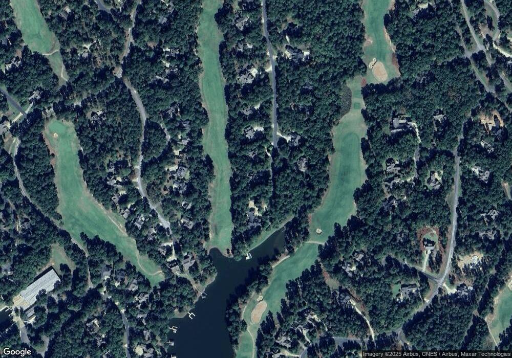
1091 Greshams Fort Greensboro, GA 30642
Estimated Value: $1,248,000 - $1,715,000
4
Beds
4
Baths
2,416
Sq Ft
$593/Sq Ft
Est. Value
About This Home
This home is located at 1091 Greshams Fort, Greensboro, GA 30642 and is currently estimated at $1,433,694, approximately $593 per square foot. 1091 Greshams Fort is a home with nearby schools including Greene County High School.
Ownership History
Date
Name
Owned For
Owner Type
Purchase Details
Closed on
Jun 20, 2007
Sold by
Conroy James E
Bought by
Rush William G and Rush Leigh Ann
Current Estimated Value
Purchase Details
Closed on
May 31, 2005
Sold by
Rush Andra M
Bought by
Conroy James E and Conroy Mary B
Home Financials for this Owner
Home Financials are based on the most recent Mortgage that was taken out on this home.
Original Mortgage
$170,000
Interest Rate
5.66%
Mortgage Type
New Conventional
Purchase Details
Closed on
Oct 13, 1995
Sold by
Linger Longer Dev Co
Bought by
Rush Andra M
Create a Home Valuation Report for This Property
The Home Valuation Report is an in-depth analysis detailing your home's value as well as a comparison with similar homes in the area
Home Values in the Area
Average Home Value in this Area
Purchase History
| Date | Buyer | Sale Price | Title Company |
|---|---|---|---|
| Rush William G | $340,000 | -- | |
| Conroy James E | $280,000 | -- | |
| Rush Andra M | $95,300 | -- |
Source: Public Records
Mortgage History
| Date | Status | Borrower | Loan Amount |
|---|---|---|---|
| Previous Owner | Conroy James E | $170,000 |
Source: Public Records
Tax History Compared to Growth
Tax History
| Year | Tax Paid | Tax Assessment Tax Assessment Total Assessment is a certain percentage of the fair market value that is determined by local assessors to be the total taxable value of land and additions on the property. | Land | Improvement |
|---|---|---|---|---|
| 2024 | $7,651 | $485,000 | $48,000 | $437,000 |
| 2023 | $6,166 | $388,280 | $48,000 | $340,280 |
| 2022 | $6,200 | $336,880 | $20,000 | $316,880 |
| 2021 | $5,894 | $300,120 | $20,000 | $280,120 |
| 2020 | $5,878 | $270,520 | $46,800 | $223,720 |
| 2019 | $5,967 | $270,520 | $46,800 | $223,720 |
| 2018 | $5,944 | $270,520 | $46,800 | $223,720 |
| 2017 | $5,523 | $267,335 | $46,800 | $220,535 |
| 2016 | $5,525 | $267,335 | $46,800 | $220,535 |
| 2015 | $5,433 | $267,335 | $46,800 | $220,535 |
| 2014 | $5,741 | $275,496 | $78,000 | $197,496 |
Source: Public Records
Map
Nearby Homes
- 1010 Kimbrough Hill Dr
- 1021 Branson Bluff
- 1011 Kimbrough Hill Dr
- 1001 Walton Way
- 1010 Wrayswood Cir
- 1131 Scull Shoals Dr
- 1031 Crackers Neck Rd
- 1120 Plantation Point Dr
- 1201 Linger Longer Dr
- 1090 Henrys Hill
- 1201 Marina Cove Ln
- 1121 Crackers Neck Rd
- 1170 Liberty Bluff Rd
- 1341 Planters Trail
- 1091 Jones Bluff Ct
- 1060 Liberty Bluff Ct
- 1030 Scott Loop
- 1051 Liberty Bluff Ln
- 1321 Jackson Ridge Rd
- 1081 Greshams Fort
- 0 Greshams Fort Unit LOT 18
- 0 Greshams Fort Unit 7559590
- 0 Greshams Fort Unit LOT 18 7324509
- 0 Greshams Fort Unit 8749419
- 0 Greshams Fort Unit 7524742
- 0 Greshams Fort Unit 8025240
- 0 Greshams Fort Unit 8630957
- 1098 Greshams Fort
- 1071 Greshams Fort
- 1100 Greshams Fort
- 1090 Greshams Fort
- 1080 Greshams Fort
- 1080 Kimbrough Hill Dr
- 1070 Kimbrough Hill Dr
- 1030 Kimbrough Hill Loop
- 1040 Kimbrough Hill Loop
- 1090 Kimbrough Hill Dr
- 1020 Kimbrough Hill Loop
- 1070 Greshams Fort
