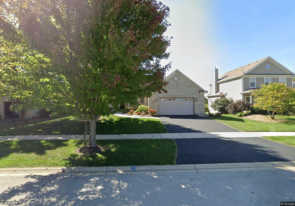
1091 Independence Ave Elburn, IL 60119
Estimated Value: $525,460 - $599,000
About This Home
This home is located at 1091 Independence Ave, Elburn, IL 60119 and is currently estimated at $567,865, approximately $237 per square foot. 1091 Independence Ave is a home located in Kane County with nearby schools including Kaneland Blackberry Creek Elementary School, Harter Middle School, and Kaneland High School.
Ownership History
We collect this data history from publicly available records. To have your information removed, we recommend requesting removal directly through your county’s website.
Purchase Details
Purchase Details
Home Financials for this Owner
Home Financials are based on the most recent Mortgage that was taken out on this home.Home Values in the Area
Average Home Value in this Area
Purchase History
We collect this data history from publicly available records. To have your information removed, we recommend requesting removal directly through your county’s website.
| Date | Buyer | Sale Price | Title Company |
|---|---|---|---|
| -- | None Listed On Document | ||
| $405,000 | Chicago Title Insurance Comp |
Mortgage History
We collect this data history from publicly available records. To have your information removed, we recommend requesting removal directly through your county’s website.
| Date | Status | Borrower | Loan Amount |
|---|---|---|---|
| Previous Owner | $150,000 |
Tax History
We collect this data history from publicly available records. To have your information removed, we recommend requesting removal directly through your county’s website.
| Year | Tax Paid | Tax Assessment Tax Assessment Total Assessment is a certain percentage of the fair market value that is determined by local assessors to be the total taxable value of land and additions on the property. | Land | Improvement |
|---|---|---|---|---|
| 2024 | $11,801 | $153,477 | $18,723 | $134,754 |
| 2023 | $11,303 | $138,517 | $16,898 | $121,619 |
| 2022 | $12,008 | $137,243 | $15,508 | $121,735 |
| 2021 | $11,553 | $131,358 | $14,843 | $116,515 |
| 2020 | $11,333 | $128,279 | $14,495 | $113,784 |
| 2019 | $11,334 | $126,396 | $14,282 | $112,114 |
| 2018 | $11,575 | $126,567 | $14,282 | $112,285 |
| 2017 | $11,574 | $125,128 | $14,120 | $111,008 |
| 2016 | $11,906 | $125,166 | $13,747 | $111,419 |
| 2015 | -- | $91,655 | $9,285 | $82,370 |
| 2014 | -- | $95,840 | $15,216 | $80,624 |
| 2013 | -- | $95,840 | $15,216 | $80,624 |
Map
- 1140 Independence Ave
- 1200 Independence Ave
- 990 Citizen Ave
- 692 Independence Ave
- 834 Citizen Ave
- 635 Independence Ave
- 1010 Sears Cir
- 16 Derek Dr
- #11 Derek Dr
- Lot #12 Derek Dr
- Lot #5 Derek Dr
- Lot #6 Derek Dr
- Lot #7 Derek Dr
- 1N164 Stargrass Ln
- 886 Simpson Ave
- 0S790 Rowe Rd
- Lot 9 Rowe Rd
- 1s Il Route 47
- 00 Rt 38 Rd
- 721 Cherry Cir
- 1107 Independence Ave
- 1121 Independence Ave
- 1095 Independence Ave
- 1033 Independence Ave
- 1087 Independence Ave
- 1077 Independence Ave
- 1145 Independence Ave
- 1126 Independence Ave
- 1090 Independence Ave
- 1063 Independence Ave Unit 10
- 1169 Independence Ave
- 1082 Independence Ave
- Lot 948 Independence Ave
- 1129 Lakin Ave Unit 10
- 1076 Independence Ave Unit 10
- 1059 Independence Ave
- 1155 Lakin Ave
- L1033 Independence Ave
- 1091 Lakin Ave
- 1054 Independence Ave
Ask me questions while you tour the home.